125 Brook St Rehoboth, MA 02769
Estimated Value: $1,153,000 - $1,520,000
4
Beds
2
Baths
4,936
Sq Ft
$259/Sq Ft
Est. Value
About This Home
This home is located at 125 Brook St, Rehoboth, MA 02769 and is currently estimated at $1,277,221, approximately $258 per square foot. 125 Brook St is a home located in Bristol County with nearby schools including Dighton-Rehoboth Regional High School.
Ownership History
Date
Name
Owned For
Owner Type
Purchase Details
Closed on
May 7, 2020
Sold by
Savoie Daniel L and Savoie Diane M
Bought by
Daniel L Savoie Ret
Current Estimated Value
Purchase Details
Closed on
Nov 17, 2011
Sold by
Fhlmc
Bought by
Savoie Daniel L and Savoie Diane M
Purchase Details
Closed on
Dec 31, 2003
Sold by
Savoie Diane M and Savoie Daniel L
Bought by
Savoie Diane M and Savoie Daniel L
Create a Home Valuation Report for This Property
The Home Valuation Report is an in-depth analysis detailing your home's value as well as a comparison with similar homes in the area
Home Values in the Area
Average Home Value in this Area
Purchase History
| Date | Buyer | Sale Price | Title Company |
|---|---|---|---|
| Daniel L Savoie Ret | -- | None Available | |
| Savoie Daniel L | $147,000 | -- | |
| Savoie Diane M | -- | -- |
Source: Public Records
Tax History Compared to Growth
Tax History
| Year | Tax Paid | Tax Assessment Tax Assessment Total Assessment is a certain percentage of the fair market value that is determined by local assessors to be the total taxable value of land and additions on the property. | Land | Improvement |
|---|---|---|---|---|
| 2025 | $141 | $1,268,700 | $210,900 | $1,057,800 |
| 2024 | $13,391 | $1,178,800 | $210,900 | $967,900 |
| 2023 | $10,059 | $1,085,400 | $206,900 | $878,500 |
| 2022 | $10,059 | $793,900 | $198,500 | $595,400 |
| 2021 | $10,517 | $794,300 | $182,200 | $612,100 |
| 2020 | $9,613 | $732,700 | $182,200 | $550,500 |
| 2018 | $8,827 | $737,400 | $174,400 | $563,000 |
| 2017 | $9,262 | $737,400 | $174,400 | $563,000 |
| 2016 | $8,959 | $737,400 | $174,400 | $563,000 |
| 2015 | $8,720 | $708,400 | $167,200 | $541,200 |
| 2014 | $8,270 | $664,800 | $160,000 | $504,800 |
Source: Public Records
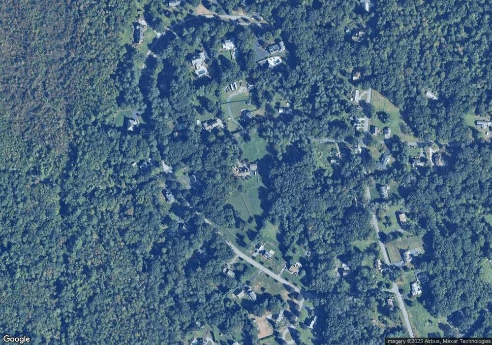
Map
Nearby Homes
- 267 Chestnut St
- 198 Brook St
- 42 Linden Ln
- 8 Linden Ln
- 8 Linden Ln
- 120 Plain St
- 39 Peckham St
- 92 Martin St
- 36 Columbine Rd
- 32 Providence St
- 0 Winter St
- 14 Deborah Ann Dr Unit 41
- 75 Martin St
- 129 Cameron Way
- 203 Providence St Bldr Lot 5
- 205 Providence St Bldr Lot 3
- 3a Johnnies Way
- 3b Johnnies Way
- 3 Johnnies Way
- 7 Johnnies Way