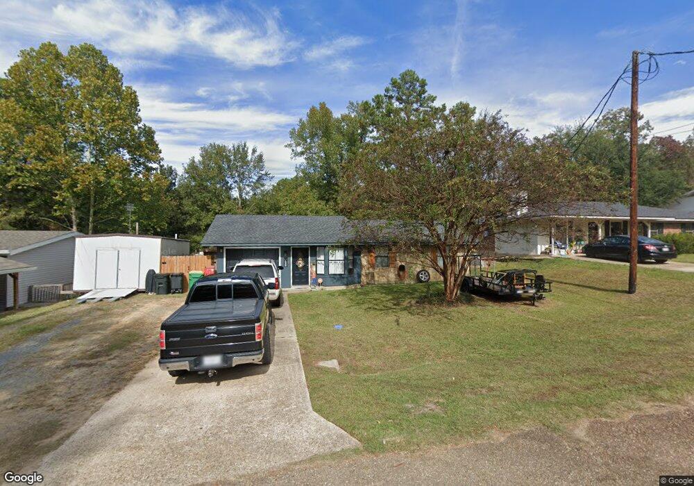
125 Brooks Ln West Monroe, LA 71291
Estimated Value: $150,000 - $158,640
3
Beds
2
Baths
1,216
Sq Ft
$126/Sq Ft
Est. Value
About This Home
This home is located at 125 Brooks Ln, West Monroe, LA 71291 and is currently estimated at $153,660, approximately $126 per square foot. 125 Brooks Ln is a home located in Ouachita Parish with nearby schools including Drew Elementary School, West Ridge Middle School, and West Monroe High School.
Ownership History
Date
Name
Owned For
Owner Type
Purchase Details
Closed on
Apr 5, 2006
Sold by
Alexander Michael Lane and Hemphill Nancy
Bought by
Crawford Timothy James and Crawford Amanda Nicole
Current Estimated Value
Home Financials for this Owner
Home Financials are based on the most recent Mortgage that was taken out on this home.
Original Mortgage
$90,423
Outstanding Balance
$51,512
Interest Rate
6.21%
Mortgage Type
Purchase Money Mortgage
Estimated Equity
$102,148
Create a Home Valuation Report for This Property
The Home Valuation Report is an in-depth analysis detailing your home's value as well as a comparison with similar homes in the area
Home Values in the Area
Average Home Value in this Area
Purchase History
| Date | Buyer | Sale Price | Title Company |
|---|---|---|---|
| Crawford Timothy James | $85,500 | Title West |
Source: Public Records
Mortgage History
| Date | Status | Borrower | Loan Amount |
|---|---|---|---|
| Open | Crawford Timothy James | $90,423 |
Source: Public Records
Tax History Compared to Growth
Tax History
| Year | Tax Paid | Tax Assessment Tax Assessment Total Assessment is a certain percentage of the fair market value that is determined by local assessors to be the total taxable value of land and additions on the property. | Land | Improvement |
|---|---|---|---|---|
| 2024 | $449 | $12,309 | $1,869 | $10,440 |
| 2023 | $449 | $12,349 | $1,869 | $10,480 |
| 2022 | $1,096 | $12,349 | $1,869 | $10,480 |
| 2021 | $1,099 | $12,232 | $1,869 | $10,363 |
| 2020 | $1,099 | $12,232 | $1,869 | $10,363 |
| 2019 | $813 | $9,080 | $1,308 | $7,772 |
| 2018 | $142 | $9,080 | $1,308 | $7,772 |
| 2017 | $813 | $9,080 | $1,308 | $7,772 |
| 2016 | $813 | $8,800 | $1,308 | $7,492 |
| 2015 | $116 | $8,800 | $1,308 | $7,492 |
| 2014 | $116 | $8,800 | $1,308 | $7,492 |
| 2013 | $116 | $8,800 | $1,308 | $7,492 |
Source: Public Records
Map
Nearby Homes
- 0 Lou Dr
- 106 Brooks Ln
- 00 Lou Dr
- 112 Hillside Cir
- 120 Heritage Dr
- 118 Country Estates Dr
- 139 Autumn Place Dr
- 150 Ingram Rd
- 830 Ole Highway 15
- 127 Henry Rd
- 163 Lost Landing Rd
- 0 Avant Rd Unit 215485
- 0 Avant Rd Unit 213766
- 3242 Arkansas Rd
- 149-191 Whittington Ln
- 7206 Cypress St
- 123 Baytree Dr
- 111 Windridge Dr
- 113 Windridge Dr
- 184 Henderson Rd
- 127 Brooks Ln
- 407 Hillside Cir
- 405 Hillside Cir
- 129 Brooks Ln
- 405 Hillside Cir
- 403 Hillside Cir
- 411 Hillside Cir
- 122 Brooks Ln
- 124 Brooks Ln
- 329 Hillside Cir
- 126 Brooks Ln
- 120 Brooks Ln
- 401 Hillside Cir
- 413 Hillside Cir
- 128 Brooks Ln
- 125 Wilson Dr
- 415 Hillside Cir
- 123 Wilson Dr
- 127 Wilson Dr
- 406 Hillside Cir