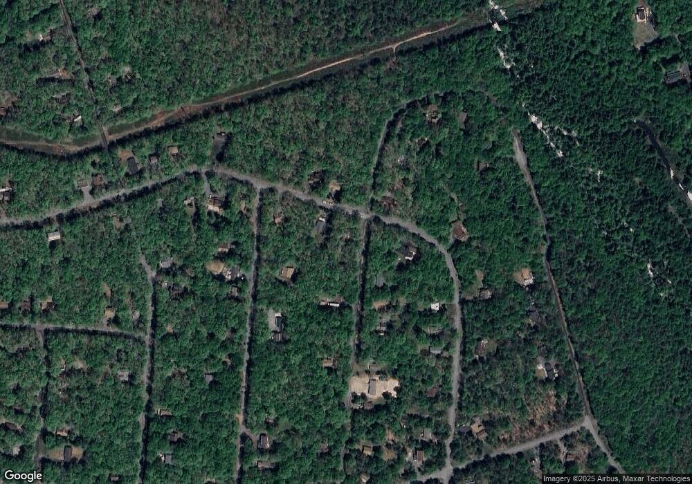
125 Byron Ln Albrightsville, PA 18210
Estimated Value: $249,000 - $305,000
3
Beds
2
Baths
966
Sq Ft
$277/Sq Ft
Est. Value
About This Home
This home is located at 125 Byron Ln, Albrightsville, PA 18210 and is currently estimated at $267,649, approximately $277 per square foot. 125 Byron Ln is a home with nearby schools including Jim Thorpe Area High School.
Ownership History
Date
Name
Owned For
Owner Type
Purchase Details
Closed on
Nov 30, 2007
Sold by
Spensberger Edith
Bought by
Schipani Carmine G
Current Estimated Value
Home Financials for this Owner
Home Financials are based on the most recent Mortgage that was taken out on this home.
Original Mortgage
$89,700
Outstanding Balance
$56,776
Interest Rate
6.3%
Mortgage Type
New Conventional
Estimated Equity
$210,873
Create a Home Valuation Report for This Property
The Home Valuation Report is an in-depth analysis detailing your home's value as well as a comparison with similar homes in the area
Home Values in the Area
Average Home Value in this Area
Purchase History
| Date | Buyer | Sale Price | Title Company |
|---|---|---|---|
| Schipani Carmine G | $138,000 | None Available |
Source: Public Records
Mortgage History
| Date | Status | Borrower | Loan Amount |
|---|---|---|---|
| Open | Schipani Carmine G | $89,700 |
Source: Public Records
Tax History Compared to Growth
Tax History
| Year | Tax Paid | Tax Assessment Tax Assessment Total Assessment is a certain percentage of the fair market value that is determined by local assessors to be the total taxable value of land and additions on the property. | Land | Improvement |
|---|---|---|---|---|
| 2025 | $2,653 | $43,125 | $4,250 | $38,875 |
| 2024 | $2,524 | $43,125 | $4,250 | $38,875 |
| 2023 | $2,491 | $43,125 | $4,250 | $38,875 |
| 2022 | $2,491 | $43,125 | $4,250 | $38,875 |
| 2021 | $2,491 | $43,125 | $4,250 | $38,875 |
| 2020 | $2,491 | $43,125 | $4,250 | $38,875 |
| 2019 | $2,405 | $43,125 | $4,250 | $38,875 |
| 2018 | $2,405 | $43,125 | $4,250 | $38,875 |
| 2017 | $2,405 | $43,125 | $4,250 | $38,875 |
| 2016 | -- | $43,125 | $4,250 | $38,875 |
| 2015 | -- | $43,125 | $4,250 | $38,875 |
| 2014 | -- | $43,125 | $4,250 | $38,875 |
Source: Public Records
Map
Nearby Homes
- 0 Towamensing Trail & Whitman Ln Unit PM-132609
- 118 Towamensing Trail
- 223 Towamensing Trail
- 174 Teddyuscung Trail
- A7 Dryden Dr
- 1 Dryden Dr
- 40 Mushroom Ln
- 50 Poe Cir
- A50 Poe Cir
- 56 Dryden Dr
- 0 Eliot Ln
- 222 Keats Ln
- B546 Teddyuscung Trail
- B566 Teddyuscung Trail
- A39 Towamensing Trail Dryden Dr
- 54 Spencer Ln
- 191 Keats Ln
- 25 Byron Ln
- 24 Van Doren Mews
- 289 Towamensing Trail
- 164 Towamensing Trail
- 163 Towamensing Trail
- 115 Byron Ln
- 184 Towamensing Trail
- 228 Elliot Ln
- 159 Towamensing Trail
- 68 Tomahawk Trail
- 228 Eliot Ln
- 158 Towamensing Trail
- 179 Towamensing Trail
- 267 Eliot Ln
- 112 Byron Ln
- 112 Byron Ln
- 237 Whitman Ln
- 214 Eliot Ln
- 231 Eliot Ln
- 198 Towamensing Trail
- 282 Byron Ln
- 183 Towamensing Trail
- 225 Eliot Ln
