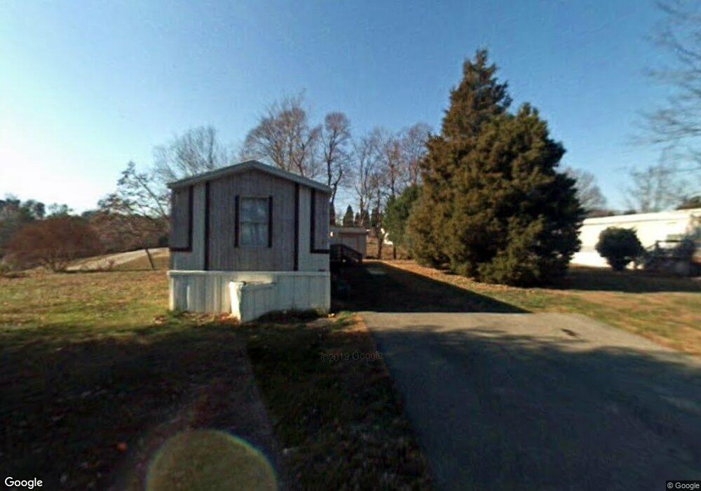
125 Capitol Loop Reidsville, NC 27320
Estimated Value: $196,000 - $5,339,000
--
Bed
--
Bath
480
Sq Ft
$7,260/Sq Ft
Est. Value
About This Home
This home is located at 125 Capitol Loop, Reidsville, NC 27320 and is currently estimated at $3,484,569, approximately $7,259 per square foot. 125 Capitol Loop is a home with nearby schools including Monroeton Elementary School, Rockingham County Middle School, and Rockingham County High School.
Ownership History
Date
Name
Owned For
Owner Type
Purchase Details
Closed on
Jun 27, 2024
Sold by
Poplar Valley Llc
Bought by
Fairgrove Mhc Llc
Current Estimated Value
Home Financials for this Owner
Home Financials are based on the most recent Mortgage that was taken out on this home.
Original Mortgage
$3,535,000
Outstanding Balance
$3,493,020
Interest Rate
7.02%
Mortgage Type
New Conventional
Estimated Equity
-$8,451
Purchase Details
Closed on
May 1, 2012
Sold by
Cmlt 2008-Ls1 Benaja Road Llc
Bought by
Suits Earnest E and Suits Shirley D
Create a Home Valuation Report for This Property
The Home Valuation Report is an in-depth analysis detailing your home's value as well as a comparison with similar homes in the area
Home Values in the Area
Average Home Value in this Area
Purchase History
| Date | Buyer | Sale Price | Title Company |
|---|---|---|---|
| Fairgrove Mhc Llc | $5,030,000 | Chicago Title | |
| Suits Earnest E | $520,000 | None Available |
Source: Public Records
Mortgage History
| Date | Status | Borrower | Loan Amount |
|---|---|---|---|
| Open | Fairgrove Mhc Llc | $3,535,000 |
Source: Public Records
Tax History Compared to Growth
Tax History
| Year | Tax Paid | Tax Assessment Tax Assessment Total Assessment is a certain percentage of the fair market value that is determined by local assessors to be the total taxable value of land and additions on the property. | Land | Improvement |
|---|---|---|---|---|
| 2025 | $7,557 | $1,135,211 | $339,554 | $795,657 |
| 2024 | $8,141 | $1,135,211 | $339,554 | $795,657 |
| 2023 | $8,141 | $758,544 | $188,641 | $569,903 |
| 2022 | $9,151 | $758,544 | $188,641 | $569,903 |
| 2021 | $6,030 | $758,544 | $188,641 | $569,903 |
| 2020 | $12,199 | $758,544 | $188,641 | $569,903 |
| 2019 | $9,082 | $758,544 | $188,641 | $569,903 |
| 2018 | $9,658 | $800,408 | $445,982 | $354,426 |
| 2017 | $9,915 | $800,408 | $445,982 | $354,426 |
| 2014 | $6,606 | $800,408 | $445,982 | $354,426 |
Source: Public Records
Map
Nearby Homes
- 2023 Benaja Rd
- 8560 Fairgrove Church Rd
- 8554 Fairgrove Church Rd
- 8548 Fairgrove Church Rd
- 8542 Fairgrove Church Rd
- 8524 Fairgrove Church Rd
- 8105 Summit Springs Ct
- 8512 Fairgrove Church Rd
- 8506 Fairgrove Church Rd
- 8448 Fairgrove Church Rd
- 8442 Fairgrove Church Rd
- 8430 Fairgrove Church Rd
- 8424 Fairgrove Church Rd
- 3700 Summit Lakes Dr
- 3613 Summit Lakes Dr
- 3009 Pearson Farm Dr
- 3003 Pearson Farm Dr
- 8319 Richardsonwood Rd
- 8306 Meadow Green Rd
- 194 River Run Dr
- 215 Rockguil Dr
- 1952 Benaja Rd
- 1952 Benaja Rd
- 1962 Benaja Rd
- 1992 Benaja Rd
- 1970 Benaja Rd
- 1950 Benaja Rd
- 1998 Benaja Rd
- 2032 Benaja Rd
- 1824 Benaja Rd
- 2012 Benaja Rd
- 2010 Benaja Rd
- 1893 Benaja Rd
- 1875 Benaja Rd
- 1965 Benaja Rd
- 1810 Benaja Rd
- 8142 Brooks Lake Rd
- 1784 Benaja Rd
- 8138 Brooks Lake Rd
- 2044 Benaja Rd