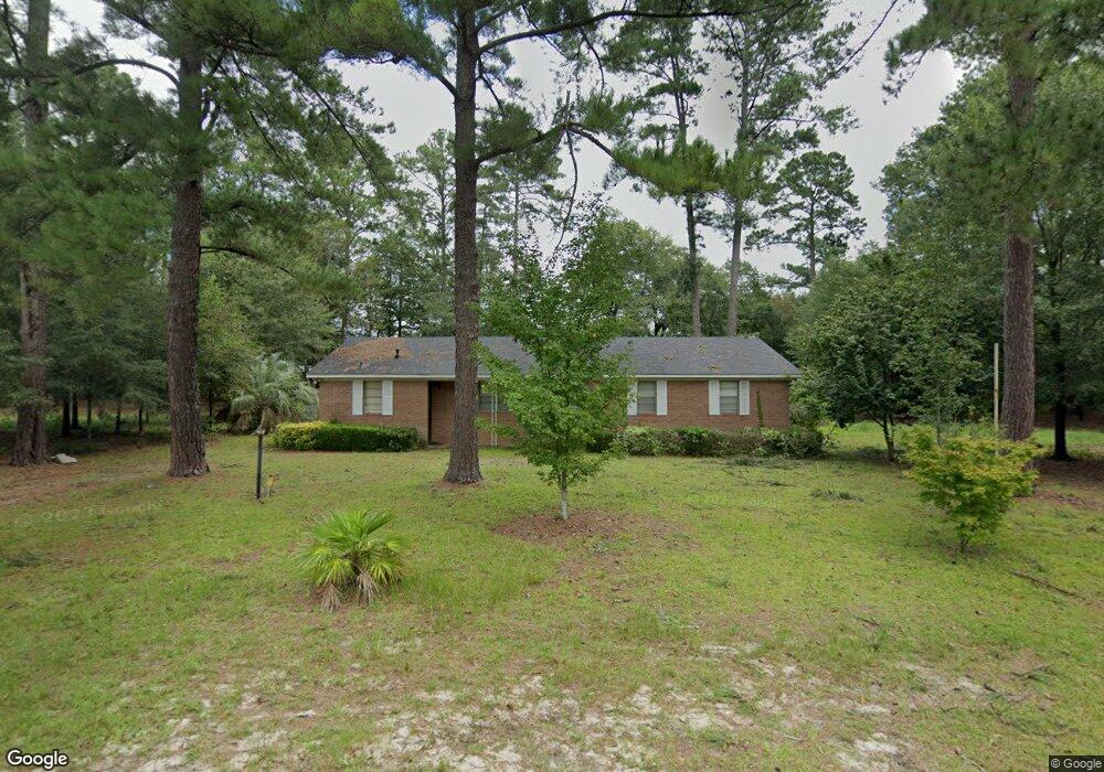
125 Carlin Dr West Columbia, SC 29169
Estimated Value: $154,000 - $218,442
3
Beds
2
Baths
1,457
Sq Ft
$123/Sq Ft
Est. Value
About This Home
This home is located at 125 Carlin Dr, West Columbia, SC 29169 and is currently estimated at $179,611, approximately $123 per square foot. 125 Carlin Dr is a home located in Lexington County with nearby schools including Riverbank Elementary, Cyril B. Busbee Creative Arts Academy, and Brookland-Cayce High School.
Ownership History
Date
Name
Owned For
Owner Type
Purchase Details
Closed on
Dec 4, 2024
Sold by
Stroud Jerry M and Stroud Angelia Bennett
Bought by
Hook Doreen
Current Estimated Value
Purchase Details
Closed on
Feb 5, 2015
Sold by
Stroud Jerry M
Bought by
Stroud Angelia Bennett
Purchase Details
Closed on
Feb 14, 2013
Sold by
Bennett Angelia Y
Bought by
Stroud Jerry M
Create a Home Valuation Report for This Property
The Home Valuation Report is an in-depth analysis detailing your home's value as well as a comparison with similar homes in the area
Home Values in the Area
Average Home Value in this Area
Purchase History
| Date | Buyer | Sale Price | Title Company |
|---|---|---|---|
| Hook Doreen | $150,000 | None Listed On Document | |
| Stroud Angelia Bennett | -- | -- | |
| Stroud Jerry M | -- | -- |
Source: Public Records
Tax History Compared to Growth
Tax History
| Year | Tax Paid | Tax Assessment Tax Assessment Total Assessment is a certain percentage of the fair market value that is determined by local assessors to be the total taxable value of land and additions on the property. | Land | Improvement |
|---|---|---|---|---|
| 2024 | $254 | $4,632 | $1,200 | $3,432 |
| 2023 | $254 | $4,632 | $1,200 | $3,432 |
| 2022 | $265 | $4,632 | $1,200 | $3,432 |
| 2020 | $260 | $4,632 | $1,200 | $3,432 |
| 2019 | $233 | $4,376 | $1,200 | $3,176 |
| 2018 | $242 | $4,376 | $1,200 | $3,176 |
| 2017 | $616 | $4,376 | $1,200 | $3,176 |
| 2016 | $633 | $4,376 | $1,200 | $3,176 |
| 2014 | $472 | $4,788 | $1,200 | $3,588 |
| 2013 | -- | $4,790 | $1,200 | $3,590 |
Source: Public Records
Map
Nearby Homes