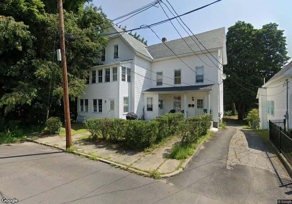
125 Clark St Clinton, MA 01510
Estimated Value: $642,000 - $709,000
6
Beds
3
Baths
2,799
Sq Ft
$244/Sq Ft
Est. Value
About This Home
This home is located at 125 Clark St, Clinton, MA 01510 and is currently estimated at $683,000, approximately $244 per square foot. 125 Clark St is a home located in Worcester County with nearby schools including Clinton Elementary School, Clinton Senior High School, and Clinton Middle School.
Ownership History
Date
Name
Owned For
Owner Type
Purchase Details
Closed on
Mar 24, 2011
Sold by
Mcnally William M and Mcnally Mary C
Bought by
Calrk Street Irt
Current Estimated Value
Purchase Details
Closed on
Dec 30, 1994
Sold by
Pazaryna Kathleen
Bought by
Mcnally William M
Purchase Details
Closed on
Aug 10, 1990
Sold by
Mcnally Milldred D
Bought by
Rumphrey Kathleen
Create a Home Valuation Report for This Property
The Home Valuation Report is an in-depth analysis detailing your home's value as well as a comparison with similar homes in the area
Home Values in the Area
Average Home Value in this Area
Purchase History
| Date | Buyer | Sale Price | Title Company |
|---|---|---|---|
| Calrk Street Irt | -- | -- | |
| Mcnally William M | $53,000 | -- | |
| Rumphrey Kathleen | $125,000 | -- |
Source: Public Records
Mortgage History
| Date | Status | Borrower | Loan Amount |
|---|---|---|---|
| Previous Owner | Rumphrey Kathleen | $100,000 |
Source: Public Records
Tax History Compared to Growth
Tax History
| Year | Tax Paid | Tax Assessment Tax Assessment Total Assessment is a certain percentage of the fair market value that is determined by local assessors to be the total taxable value of land and additions on the property. | Land | Improvement |
|---|---|---|---|---|
| 2025 | $6,911 | $519,600 | $105,000 | $414,600 |
| 2024 | $5,954 | $453,100 | $105,000 | $348,100 |
| 2023 | $5,757 | $430,600 | $95,500 | $335,100 |
| 2022 | $5,903 | $395,900 | $86,800 | $309,100 |
| 2021 | $5,091 | $319,400 | $82,700 | $236,700 |
| 2020 | $4,838 | $312,300 | $82,700 | $229,600 |
| 2019 | $4,530 | $284,400 | $80,300 | $204,100 |
| 2018 | $4,238 | $249,600 | $80,300 | $169,300 |
| 2017 | $4,046 | $229,000 | $80,300 | $148,700 |
| 2016 | $3,955 | $229,000 | $80,300 | $148,700 |
| 2015 | $3,828 | $229,800 | $77,900 | $151,900 |
| 2014 | $3,711 | $229,800 | $77,900 | $151,900 |
Source: Public Records
Map
Nearby Homes
- 57 Clark St
- 861 Main St
- 1 Grady St
- 459 High St
- 201-203 Stone St
- 201 Stone St Unit 203
- 22 Forest Ave
- 55 Sterling St Unit 306
- 55 Sterling St Unit 314
- 55 Sterling St Unit 212
- 216 Walnut St
- 23 Ash St
- 51 Rigby St
- 155 Cedar St
- 30 John F. Kennedy Ave
- 0 Parker Rd
- 19 Magnolia Ave
- 405 Ridgefield Cir Unit C
- 13 Simon Ct
- 12 Woodruff Rd
- 125 Clark St Unit 3
- 125 Clark St Unit B
- 115 Clark St
- 113 Clark St
- 113 Clark St Unit 1
- 137 Clark St
- 118 Clark St
- 109 Clark St
- 135 Clark St
- 135 Clark St Unit 2
- 107 Clark St
- 104 Clark St Unit 106
- 101 Clark St
- 787 Main St
- 773 Main St
- 773 Main St Unit 2
- 773 Main St Unit 1
- 98 Clark St Unit 100
- 93 Clark St
- 737 Main St Unit 1