125 Close Rd Mc Henry, MD 21541
Estimated Value: $512,000 - $748,000
3
Beds
2
Baths
1,760
Sq Ft
$335/Sq Ft
Est. Value
About This Home
This home is located at 125 Close Rd, Mc Henry, MD 21541 and is currently estimated at $590,031, approximately $335 per square foot. 125 Close Rd is a home located in Garrett County with nearby schools including Accident Elementary School, Northern Middle School, and Northern Garrett High School.
Ownership History
Date
Name
Owned For
Owner Type
Purchase Details
Closed on
Sep 14, 2012
Sold by
Lechowicz Matthew and Lechowicz Margaret
Bought by
Forish John A and Forish Susan L
Current Estimated Value
Home Financials for this Owner
Home Financials are based on the most recent Mortgage that was taken out on this home.
Original Mortgage
$210,000
Outstanding Balance
$145,653
Interest Rate
3.62%
Mortgage Type
New Conventional
Estimated Equity
$444,378
Purchase Details
Closed on
Mar 1, 1999
Sold by
Collins Mark and Collins Kathleen M
Bought by
Lechowicz Matthew and Lechowicz Margaret
Purchase Details
Closed on
Jan 31, 1994
Sold by
American Trust Bank
Bought by
Collins Mark and Collins Kathleen M
Home Financials for this Owner
Home Financials are based on the most recent Mortgage that was taken out on this home.
Original Mortgage
$92,800
Interest Rate
6.97%
Create a Home Valuation Report for This Property
The Home Valuation Report is an in-depth analysis detailing your home's value as well as a comparison with similar homes in the area
Purchase History
| Date | Buyer | Sale Price | Title Company |
|---|---|---|---|
| Forish John A | $280,000 | None Available | |
| Lechowicz Matthew | $149,500 | -- | |
| Collins Mark | $116,000 | -- |
Source: Public Records
Mortgage History
| Date | Status | Borrower | Loan Amount |
|---|---|---|---|
| Open | Forish John A | $210,000 | |
| Previous Owner | Collins Mark | $92,800 |
Source: Public Records
Tax History
| Year | Tax Paid | Tax Assessment Tax Assessment Total Assessment is a certain percentage of the fair market value that is determined by local assessors to be the total taxable value of land and additions on the property. | Land | Improvement |
|---|---|---|---|---|
| 2025 | $4,669 | $394,967 | $0 | $0 |
| 2024 | $4,259 | $346,833 | $0 | $0 |
| 2023 | $3,698 | $298,700 | $36,100 | $262,600 |
| 2022 | $3,593 | $287,900 | $0 | $0 |
| 2021 | $3,486 | $277,100 | $0 | $0 |
| 2020 | $3,350 | $266,300 | $36,100 | $230,200 |
| 2019 | $3,318 | $263,733 | $0 | $0 |
| 2018 | $3,113 | $261,167 | $0 | $0 |
| 2017 | $3,057 | $258,600 | $0 | $0 |
| 2016 | -- | $239,900 | $0 | $0 |
| 2015 | -- | $221,200 | $0 | $0 |
| 2014 | -- | $202,500 | $0 | $0 |
Source: Public Records
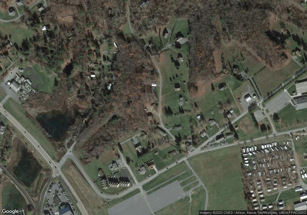
Map
Nearby Homes
- 267 Mosser Rd Unit 1
- 65 Northlake Dr Unit 2A
- 198 Pysell Rd
- 257 Marsh Hill Rd Unit 1
- 257 Marsh Hill Rd Unit 44
- Lots 2 and 3 Fair Gate Rd
- 161 Marsh Hill Rd
- 1067 N Camp Rd
- 290 Marsh Hill Rd Unit 768F
- 290 Marsh Hill Rd Unit 702K
- 290 Marsh Hill Rd Unit 501L
- 290 Marsh Hill Rd Unit 319C
- 290 Marsh Hill Rd Unit 226K
- 93 Black Diamond Ct
- Lot 100 Snowhaven
- 16 Cedar Shores Dr Unit 12
- 5 Lakeview Ct Unit 5C
- Lot 12, Phase 4 Marsh Hill Rd
- 1278 Deep Creek Dr Unit 3
- 1278 Deep Creek Dr Unit C3
Your Personal Tour Guide
Ask me questions while you tour the home.