125 Coles Island Rd Gloucester, MA 01930
West Gloucester NeighborhoodEstimated Value: $1,145,000 - $5,415,000
7
Beds
6
Baths
5,865
Sq Ft
$646/Sq Ft
Est. Value
About This Home
This home is located at 125 Coles Island Rd, Gloucester, MA 01930 and is currently estimated at $3,791,556, approximately $646 per square foot. 125 Coles Island Rd is a home located in Essex County with nearby schools including West Parish and Ralph B O'maley Middle School.
Ownership History
Date
Name
Owned For
Owner Type
Purchase Details
Closed on
Jan 16, 2019
Sold by
Farm Creek T
Bought by
Dickie Trevor
Current Estimated Value
Home Financials for this Owner
Home Financials are based on the most recent Mortgage that was taken out on this home.
Original Mortgage
$1,979,780
Outstanding Balance
$1,740,630
Interest Rate
4.6%
Mortgage Type
Purchase Money Mortgage
Estimated Equity
$2,050,926
Purchase Details
Closed on
Jun 25, 2004
Sold by
Farm Creek Partners Ll
Bought by
Farm Creek T
Purchase Details
Closed on
Feb 26, 2004
Sold by
Marshall Colin S and Whittemore William M
Bought by
Farm Creek Partners Ll
Create a Home Valuation Report for This Property
The Home Valuation Report is an in-depth analysis detailing your home's value as well as a comparison with similar homes in the area
Home Values in the Area
Average Home Value in this Area
Purchase History
| Date | Buyer | Sale Price | Title Company |
|---|---|---|---|
| Dickie Trevor | $2,200,000 | -- | |
| Farm Creek T | $2,650,000 | -- | |
| Farm Creek Partners Ll | $2,500,000 | -- |
Source: Public Records
Mortgage History
| Date | Status | Borrower | Loan Amount |
|---|---|---|---|
| Open | Dickie Trevor | $1,979,780 | |
| Previous Owner | Farm Creek Partners Ll | $1,700,000 | |
| Previous Owner | Farm Creek Partners Ll | $1,700,000 | |
| Previous Owner | Farm Creek Partners Ll | $670,000 |
Source: Public Records
Tax History Compared to Growth
Tax History
| Year | Tax Paid | Tax Assessment Tax Assessment Total Assessment is a certain percentage of the fair market value that is determined by local assessors to be the total taxable value of land and additions on the property. | Land | Improvement |
|---|---|---|---|---|
| 2025 | $33,213 | $3,417,000 | $2,010,800 | $1,406,200 |
| 2024 | $32,312 | $3,320,900 | $1,914,700 | $1,406,200 |
| 2023 | $30,366 | $2,867,400 | $1,635,400 | $1,232,000 |
| 2022 | $29,370 | $2,503,800 | $1,421,100 | $1,082,700 |
| 2021 | $28,391 | $2,282,200 | $1,294,000 | $988,200 |
| 2020 | $28,377 | $2,301,500 | $1,294,000 | $1,007,500 |
| 2019 | $32,617 | $2,570,300 | $1,462,800 | $1,107,500 |
| 2018 | $31,891 | $2,466,400 | $1,427,500 | $1,038,900 |
| 2017 | $31,430 | $2,382,900 | $1,359,900 | $1,023,000 |
| 2016 | $30,412 | $2,234,500 | $1,302,400 | $932,100 |
| 2015 | $29,156 | $2,136,000 | $1,273,100 | $862,900 |
Source: Public Records
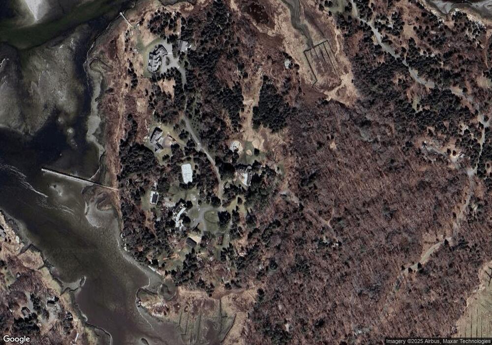
Map
Nearby Homes
- 188 Atlantic St
- 30 Atlantic St
- 226 Atlantic St
- 11 Overlook Ave
- 6 River Rd
- 49 Thurston Point Rd
- 109 Riverview Rd
- 587 Essex Ave
- 672 Washington St
- 368 Essex Ave
- 139 Eastern Ave
- 5 Samoset Rd Unit A
- 227 Essex Ave
- 12 Woodward Ave
- 18 Cherry St
- 145 Essex Ave Unit 610
- 3 Colburn St
- 3 Colburn St Unit 1
- 3 Colburn St Unit 2
- 65 Poplar St
- 103 Cole's Island Rd
- 109 Cole's Island Rd Lot 1
- 72 Cole's Island Rd
- 126 Coles Island Rd
- 109 Coles Island Rd
- 132 Coles Island Rd
- 135 Coles Island Rd
- 103 Coles Island Rd
- 133 Coles Island Rd
- 97 Coles Island Rd
- 93 Coles Island Rd
- 11 Jebeka Ln
- 89 Coles Island Rd
- 15 Jebeka Ln
- 115 Coles Island Rd
- 23 Jebeka Ln
- 5 Lawrence Ct
- 32 Coles Island Rd
- 30 Jebeka Ln
- 237 Concord St