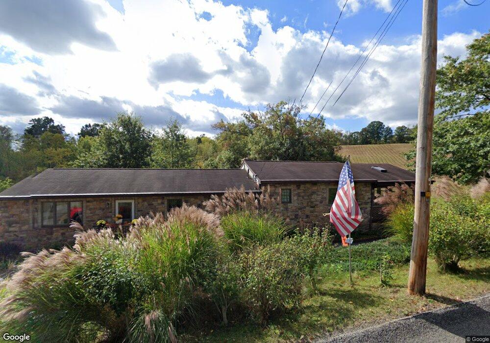
125 Community Park Rd Vandergrift, PA 15690
Allegheny Township NeighborhoodEstimated Value: $55,451 - $170,000
--
Bed
--
Bath
--
Sq Ft
2.92
Acres
About This Home
This home is located at 125 Community Park Rd, Vandergrift, PA 15690 and is currently estimated at $110,363. 125 Community Park Rd is a home located in Westmoreland County with nearby schools including Kiski Area High School and Orchard Hills Christian Academy.
Ownership History
Date
Name
Owned For
Owner Type
Purchase Details
Closed on
Mar 31, 2025
Sold by
Antonio Callipare and Antonio Mary E
Bought by
Callipare Antonio and Callipare Mary E
Current Estimated Value
Purchase Details
Closed on
Jul 10, 2012
Sold by
Callipare Antonio and Callipare Mary E
Bought by
Callipare Antonio and Callipare Mary E
Purchase Details
Closed on
Mar 21, 2003
Sold by
Callipare Antonio and Callipare Mary E
Bought by
Callipare Antonio and Callipare Mary E
Create a Home Valuation Report for This Property
The Home Valuation Report is an in-depth analysis detailing your home's value as well as a comparison with similar homes in the area
Home Values in the Area
Average Home Value in this Area
Purchase History
| Date | Buyer | Sale Price | Title Company |
|---|---|---|---|
| Callipare Antonio | -- | None Listed On Document | |
| Callipare Antonio | -- | None Available | |
| Callipare Antonio | -- | -- |
Source: Public Records
Tax History Compared to Growth
Tax History
| Year | Tax Paid | Tax Assessment Tax Assessment Total Assessment is a certain percentage of the fair market value that is determined by local assessors to be the total taxable value of land and additions on the property. | Land | Improvement |
|---|---|---|---|---|
| 2025 | $2,132 | $14,060 | $2,100 | $11,960 |
| 2024 | $2,023 | $14,060 | $2,100 | $11,960 |
| 2023 | $534 | $14,060 | $2,100 | $11,960 |
| 2022 | $1,808 | $14,060 | $2,100 | $11,960 |
| 2021 | $1,808 | $14,060 | $2,100 | $11,960 |
| 2020 | $1,803 | $14,060 | $2,100 | $11,960 |
| 2019 | $1,796 | $14,060 | $2,100 | $11,960 |
| 2018 | $1,768 | $14,060 | $2,100 | $11,960 |
| 2017 | $1,726 | $14,060 | $2,100 | $11,960 |
| 2016 | $1,700 | $14,060 | $2,100 | $11,960 |
| 2015 | $1,700 | $14,060 | $2,100 | $11,960 |
| 2014 | $1,692 | $14,060 | $2,100 | $11,960 |
Source: Public Records
Map
Nearby Homes
- 1316 Hancock Ave
- 262 Vista Dr
- 519 Dogwood Ct
- 322 N 4th St
- 411a N Pennsylvania Ave
- 213 Whittier St
- 231 Whittier St
- 620 Cedar Ridge Dr
- 208 Whittier St
- 404 N Pennsylvania Ave
- 715 1/2 Armstrong Ave Unit 1/2
- 212 Terrace Ave
- 501 State Route 356
- 303 Lowell St
- 311 Lowell St
- 314 S 5th St
- 314 1/2 Lowell St
- 404 N 10th St
- 314 Lowell St Unit 1/2
- 1206 Wysocki Ave
- 125 Community Park Rd
- 119 Community Park Rd
- 122 Community Park Rd
- 1267 Community Park Rd
- 115 Community Park Rd
- 132 Community Park Rd
- 114 Community Park Rd
- 107 Morrison Way
- 103 Morrison Way
- 139 Community Park Rd
- 101 Morrison Way
- 142 Community Park Rd
- 93 Morrison Way
- 143 Community Park Rd
- 97 Morrison Way
- 106 Morrison Way
- 114 Dogwood St
- 1272 Hancock Ave
- 151 Community Park Rd
- 1262 Hancock Ave