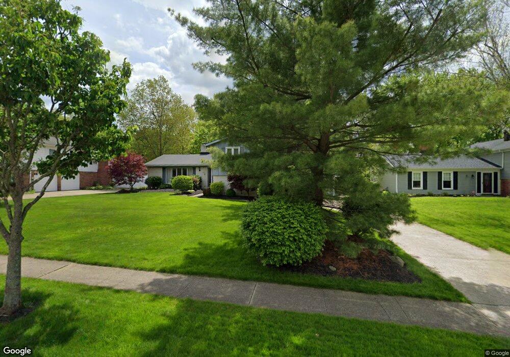
125 Devorah Dr Aurora, OH 44202
Estimated Value: $334,842 - $388,000
3
Beds
3
Baths
2,048
Sq Ft
$176/Sq Ft
Est. Value
About This Home
This home is located at 125 Devorah Dr, Aurora, OH 44202 and is currently estimated at $361,281, approximately $176 per square foot. 125 Devorah Dr is a home located in Portage County with nearby schools including Miller Elementary School, Leighton Elementary School, and Craddock/Miller Elementary School.
Ownership History
Date
Name
Owned For
Owner Type
Purchase Details
Closed on
Dec 30, 1998
Sold by
Weaver Paul E and Weaver Deborah S
Bought by
Payden Robert D and Payden Judi A
Current Estimated Value
Home Financials for this Owner
Home Financials are based on the most recent Mortgage that was taken out on this home.
Original Mortgage
$127,200
Outstanding Balance
$25,918
Interest Rate
6.95%
Estimated Equity
$335,363
Purchase Details
Closed on
Jul 17, 1987
Bought by
Weaver Paul E and Weaver Deborah S
Create a Home Valuation Report for This Property
The Home Valuation Report is an in-depth analysis detailing your home's value as well as a comparison with similar homes in the area
Home Values in the Area
Average Home Value in this Area
Purchase History
| Date | Buyer | Sale Price | Title Company |
|---|---|---|---|
| Payden Robert D | $325,666 | -- | |
| Weaver Paul E | $88,000 | -- |
Source: Public Records
Mortgage History
| Date | Status | Borrower | Loan Amount |
|---|---|---|---|
| Open | Payden Robert D | $127,200 |
Source: Public Records
Tax History
| Year | Tax Paid | Tax Assessment Tax Assessment Total Assessment is a certain percentage of the fair market value that is determined by local assessors to be the total taxable value of land and additions on the property. | Land | Improvement |
|---|---|---|---|---|
| 2025 | $5,046 | $110,880 | $16,170 | $94,710 |
| 2024 | $4,957 | $110,880 | $16,170 | $94,710 |
| 2023 | $4,485 | $81,690 | $16,170 | $65,520 |
| 2022 | $4,062 | $81,690 | $16,170 | $65,520 |
| 2021 | $4,085 | $81,690 | $16,170 | $65,520 |
| 2020 | $3,652 | $68,180 | $16,170 | $52,010 |
| 2019 | $3,681 | $68,180 | $16,170 | $52,010 |
| 2018 | $3,505 | $59,010 | $16,170 | $42,840 |
| 2017 | $3,505 | $59,010 | $16,170 | $42,840 |
| 2016 | $3,158 | $59,010 | $16,170 | $42,840 |
| 2015 | $3,247 | $59,010 | $16,170 | $42,840 |
| 2014 | $3,242 | $57,750 | $16,170 | $41,580 |
| 2013 | $3,222 | $57,750 | $16,170 | $41,580 |
Source: Public Records
Map
Nearby Homes
- 800 Hampton Cir Unit 6
- 294 S Park Dr
- 824 S Chillicothe Rd Unit 11
- 0 W Mennonite Rd
- 279 Tinkers Trail Unit 38K
- 441-13 Knollwood Dr
- 970 S Chillicothe Rd
- 512-11 Overlook Dr
- 504-9 Concord Downs Cir Unit 9
- 448 Equestra N
- 520-18 Willow Cir
- 716-7 Claridge Ln
- 290-21 Hawthorne Dr
- 604 W Acadia Point
- 680 Fairington Dr
- 984 Hawkin Ln
- 635 Prestige Woods Blvd
- 711 Cross Creek Oval
- 682 Arbor Way
- 132 Eldridge Rd
Your Personal Tour Guide
Ask me questions while you tour the home.