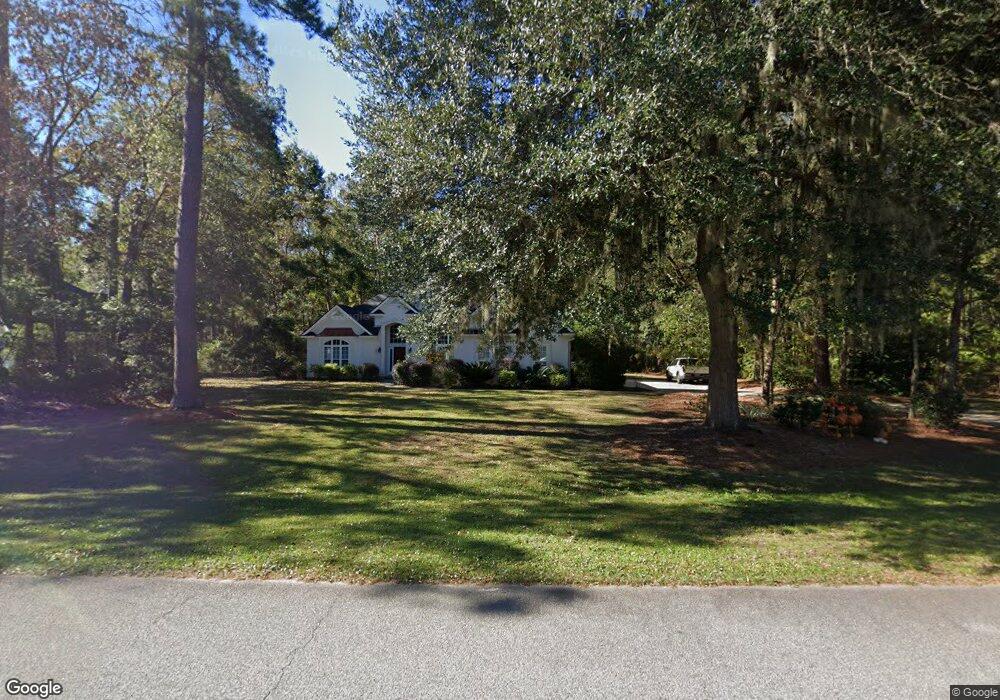
125 Dunnyveg Rd Richmond Hill, GA 31324
Estimated Value: $485,161 - $560,000
3
Beds
2
Baths
2,746
Sq Ft
$191/Sq Ft
Est. Value
About This Home
This home is located at 125 Dunnyveg Rd, Richmond Hill, GA 31324 and is currently estimated at $524,790, approximately $191 per square foot. 125 Dunnyveg Rd is a home located in Bryan County with nearby schools including Dr. George Washington Carver Elementary School, Richmond Hill Elementary School, and Richmond Hill Middle School.
Ownership History
Date
Name
Owned For
Owner Type
Purchase Details
Closed on
Jun 18, 2003
Sold by
Knight Keith and Knight Jenni
Bought by
Mazur Robert A and Mazur Kathleen A
Current Estimated Value
Purchase Details
Closed on
Apr 21, 2000
Sold by
Whitehall Enterprise
Bought by
Knight Keith and Knight Jenni
Purchase Details
Closed on
May 1, 1999
Bought by
Whitehall Enterprise
Purchase Details
Closed on
Aug 1, 1993
Create a Home Valuation Report for This Property
The Home Valuation Report is an in-depth analysis detailing your home's value as well as a comparison with similar homes in the area
Home Values in the Area
Average Home Value in this Area
Purchase History
| Date | Buyer | Sale Price | Title Company |
|---|---|---|---|
| Mazur Robert A | $280,000 | -- | |
| Knight Keith | $252,000 | -- | |
| Whitehall Enterprise | $28,000 | -- | |
| -- | $160,000 | -- |
Source: Public Records
Tax History Compared to Growth
Tax History
| Year | Tax Paid | Tax Assessment Tax Assessment Total Assessment is a certain percentage of the fair market value that is determined by local assessors to be the total taxable value of land and additions on the property. | Land | Improvement |
|---|---|---|---|---|
| 2024 | $4,141 | $164,400 | $28,800 | $135,600 |
| 2023 | $4,141 | $141,480 | $28,800 | $112,680 |
| 2022 | $3,542 | $131,160 | $28,800 | $102,360 |
| 2021 | $3,220 | $114,760 | $28,800 | $85,960 |
| 2020 | $2,698 | $108,400 | $28,800 | $79,600 |
| 2019 | $3,113 | $107,920 | $28,000 | $79,920 |
| 2018 | $3,070 | $107,920 | $28,000 | $79,920 |
| 2017 | $3,080 | $114,120 | $28,600 | $85,520 |
| 2016 | $2,968 | $108,280 | $23,080 | $85,200 |
| 2015 | $3,057 | $111,440 | $23,080 | $88,360 |
| 2014 | $3,114 | $113,520 | $23,080 | $90,440 |
Source: Public Records
Map
Nearby Homes
- 139 Mingarry Dr
- 165 Tralee Ct
- 0 Rathlin Rd Unit B SA337045
- 126 Carapace Ct
- 80 Windsong Dr
- 395 Dublin Dr
- 160 Orchard Rd
- 27 Dover Dr
- 360 Beauly Dr
- 360 Laurenburg Dr
- 448 Laurenburg Dr
- 439 Laurenburg Dr
- 325 Shadow Moss Cir
- 195 Cubbage Island Dr
- 97 Cubbage Island Dr
- 73 Waldburg Way
- 530 Blige Rd
- 317 Mcgregor Cir
- 53 Mcneil Trail
- 257 Hammock Dr
- 155 Dunnyveg Rd
- 72 Dunnyveg Rd
- 188 Mclaughlin Ct
- 178 Dunnyveg Rd
- 160 Mclaughlin Ct
- 23 Tralee Ct
- 214 Mclaughlin Ct
- 140 Mclaughlin Ct
- 45 Tralee Ct
- 40 Dunnyveg Rd
- 220 Dunnyveg Rd
- 12 Tralee Ct
- 112 Mclaughlin Ct
- 242 Dunnyveg Rd
- 59 Tralee Ct
- 8 Dunnyveg Rd
- 34 Tralee Ct
- 46 Tralee Ct
- 157 Mclaughlin Ct
- 193 Mclaughlin Ct