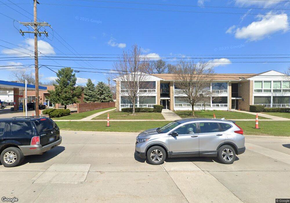
125 E 14 Mile Rd Birmingham, MI 48009
Estimated Value: $138,000 - $268,000
1
Bed
1
Bath
661
Sq Ft
$259/Sq Ft
Est. Value
About This Home
This home is located at 125 E 14 Mile Rd, Birmingham, MI 48009 and is currently estimated at $171,222, approximately $259 per square foot. 125 E 14 Mile Rd is a home located in Oakland County with nearby schools including Pierce Elementary School, Derby Middle School, and Ernest W. Seaholm High School.
Ownership History
Date
Name
Owned For
Owner Type
Purchase Details
Closed on
Mar 18, 2008
Sold by
Hsbc Bank Usa Na
Bought by
Chan David
Current Estimated Value
Home Financials for this Owner
Home Financials are based on the most recent Mortgage that was taken out on this home.
Original Mortgage
$29,250
Interest Rate
6.01%
Mortgage Type
New Conventional
Purchase Details
Closed on
Feb 26, 2008
Sold by
Hsbc Bank Usa Na
Bought by
Hsbc Bank Usa Na and Dbalt 2005-Ar1
Home Financials for this Owner
Home Financials are based on the most recent Mortgage that was taken out on this home.
Original Mortgage
$29,250
Interest Rate
6.01%
Mortgage Type
New Conventional
Purchase Details
Closed on
Nov 21, 2006
Sold by
Atto Derek
Bought by
Hsbc Bank Usa Na and Home Equity Loan Trust Series Ace 2005-A
Purchase Details
Closed on
May 10, 2002
Sold by
Swartz Beatrice
Bought by
Atto Derek
Home Financials for this Owner
Home Financials are based on the most recent Mortgage that was taken out on this home.
Original Mortgage
$68,000
Interest Rate
6.39%
Create a Home Valuation Report for This Property
The Home Valuation Report is an in-depth analysis detailing your home's value as well as a comparison with similar homes in the area
Home Values in the Area
Average Home Value in this Area
Purchase History
| Date | Buyer | Sale Price | Title Company |
|---|---|---|---|
| Chan David | $39,000 | Rels Title | |
| Hsbc Bank Usa Na | -- | Rels Title | |
| Hsbc Bank Usa Na | $75,666 | None Available | |
| Atto Derek | $85,000 | -- |
Source: Public Records
Mortgage History
| Date | Status | Borrower | Loan Amount |
|---|---|---|---|
| Previous Owner | Chan David | $29,250 | |
| Previous Owner | Atto Derek | $68,000 |
Source: Public Records
Tax History
| Year | Tax Paid | Tax Assessment Tax Assessment Total Assessment is a certain percentage of the fair market value that is determined by local assessors to be the total taxable value of land and additions on the property. | Land | Improvement |
|---|---|---|---|---|
| 2025 | $1,794 | $61,520 | $0 | $0 |
| 2024 | $1,409 | $59,570 | $0 | $0 |
| 2023 | $1,345 | $57,700 | $0 | $0 |
| 2022 | $1,621 | $52,450 | $0 | $0 |
| 2021 | $1,581 | $52,580 | $0 | $0 |
| 2020 | $1,253 | $51,500 | $0 | $0 |
| 2019 | $1,553 | $44,380 | $0 | $0 |
| 2018 | $1,519 | $39,810 | $0 | $0 |
| 2017 | $1,497 | $38,890 | $0 | $0 |
| 2016 | $1,491 | $38,110 | $0 | $0 |
| 2015 | -- | $32,790 | $0 | $0 |
| 2014 | -- | $29,030 | $0 | $0 |
| 2011 | -- | $29,930 | $0 | $0 |
Source: Public Records
Map
Nearby Homes
- 16309 Kirkshire Ave
- 1886 Henrietta St
- 16975 W 14 Mile Rd
- 16329 Birwood Ave
- 1585 Henrietta St
- 1520 Pierce St
- 350 Catalpa Dr
- 16281 Buckingham Ave
- 559 E Southlawn Blvd
- 651 Davis Ave
- 1592 Washington Blvd
- 15751 W 14 Mile Rd
- 870 Davis Ave
- 1622 Stanley Blvd
- 960 Davis Ave
- 1556 Stanley Blvd
- 1323 Washington Blvd
- 1284 S Bates St
- 1205 E 14 Mile Rd
- 1932 Shipman Blvd
- 125 E 14 Mile Rd Unit 7
- 125 E 14 Mile Rd
- 125 E 14 Mile Rd
- 125 E 14 Mile Rd
- 125 E 14 Mile Rd
- 125 E 14 Mile Rd
- 125 E 14 Mile Rd
- 125 E 14 Mile Rd
- 125 E 14 Mile Rd
- 125 E 14 Mile Rd
- 125 E 14 Mile Rd
- 125 E 14 Mile Rd
- 125 E 14 Mile Rd
- 125 E 14 Mile Rd
- 125 E 14 Mile Rd Unit 14
- 125 E 14 Mile Rd Unit 9
- 125 E 14 Mile Rd Unit 1 7
- 125 E 14 Mile Rd Unit 125, 9
- 125 E 14 Mile Rd Unit 10
- 125 E 14 Mile Rd Unit 1
Your Personal Tour Guide
Ask me questions while you tour the home.