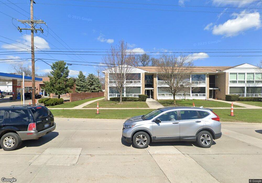
125 E 14 Mile Rd Birmingham, MI 48009
Estimated Value: $144,000 - $195,000
1
Bed
1
Bath
656
Sq Ft
$244/Sq Ft
Est. Value
About This Home
This home is located at 125 E 14 Mile Rd, Birmingham, MI 48009 and is currently estimated at $159,987, approximately $243 per square foot. 125 E 14 Mile Rd is a home located in Oakland County with nearby schools including Pierce Elementary School, Derby Middle School, and Ernest W. Seaholm High School.
Ownership History
Date
Name
Owned For
Owner Type
Purchase Details
Closed on
Feb 9, 2021
Sold by
Root Peter A
Bought by
Root Investment Company Llc
Current Estimated Value
Purchase Details
Closed on
Mar 6, 2020
Sold by
Robinson Steven L and Gross Carl M
Bought by
Root Peter
Purchase Details
Closed on
Oct 6, 2009
Sold by
Robinson Steven and Gross Carl
Bought by
Robinson Steven L and Gross Carl M
Purchase Details
Closed on
Feb 23, 2009
Sold by
Galus Dion
Bought by
Robinson Steven and Gross Carl
Purchase Details
Closed on
Nov 17, 2000
Sold by
D D L Enterprises Ii
Bought by
Galus Dion
Home Financials for this Owner
Home Financials are based on the most recent Mortgage that was taken out on this home.
Original Mortgage
$78,100
Interest Rate
7.69%
Purchase Details
Closed on
Jan 31, 2000
Sold by
Roszler Janis C
Bought by
D D L Enterprises Ii
Home Financials for this Owner
Home Financials are based on the most recent Mortgage that was taken out on this home.
Original Mortgage
$54,000
Interest Rate
8.43%
Create a Home Valuation Report for This Property
The Home Valuation Report is an in-depth analysis detailing your home's value as well as a comparison with similar homes in the area
Home Values in the Area
Average Home Value in this Area
Purchase History
| Date | Buyer | Sale Price | Title Company |
|---|---|---|---|
| Root Investment Company Llc | -- | None Available | |
| Root Peter | $105,000 | None Available | |
| Robinson Steven L | -- | None Available | |
| Robinson Steven | $41,000 | Capital Title Ins Agency | |
| Galus Dion | $79,900 | -- | |
| D D L Enterprises Ii | $67,500 | -- |
Source: Public Records
Mortgage History
| Date | Status | Borrower | Loan Amount |
|---|---|---|---|
| Previous Owner | Galus Dion | $78,100 | |
| Previous Owner | D D L Enterprises Ii | $54,000 |
Source: Public Records
Tax History Compared to Growth
Tax History
| Year | Tax Paid | Tax Assessment Tax Assessment Total Assessment is a certain percentage of the fair market value that is determined by local assessors to be the total taxable value of land and additions on the property. | Land | Improvement |
|---|---|---|---|---|
| 2024 | $2,337 | $59,310 | $0 | $0 |
| 2023 | $2,231 | $57,420 | $0 | $0 |
| 2022 | $2,690 | $52,160 | $0 | $0 |
| 2021 | $2,714 | $52,270 | $0 | $0 |
| 2020 | $1,246 | $51,180 | $0 | $0 |
| 2019 | $1,544 | $44,100 | $0 | $0 |
| 2018 | $1,510 | $39,550 | $0 | $0 |
| 2017 | $1,489 | $38,630 | $0 | $0 |
| 2016 | $1,483 | $37,850 | $0 | $0 |
| 2015 | -- | $32,560 | $0 | $0 |
| 2014 | -- | $28,850 | $0 | $0 |
| 2011 | -- | $29,780 | $0 | $0 |
Source: Public Records
Map
Nearby Homes
- 1886 Henrietta St
- 1828 Henrietta St
- 16217 Birwood Ave
- 350 Catalpa Dr
- 410 Catalpa Dr
- 1859 Stanley Blvd
- 1748 Stanley Blvd
- 870 Davis Ave
- 986 Smith Ave
- 1723 Birmingham Blvd
- 1109 Bird Ave
- 32463 Sheridan Dr
- 1268 Davis Ave
- 32210 Sheridan Dr
- 17455 Kinross Ave
- 1541 Shipman Blvd
- 1002 Ann St
- 16927 Beverly Rd
- 522 W Lincoln St
- 911 S Bates St
- 125 E 14 Mile Rd Unit 7
- 125 E 14 Mile Rd
- 125 E 14 Mile Rd
- 125 E 14 Mile Rd
- 125 E 14 Mile Rd
- 125 E 14 Mile Rd
- 125 E 14 Mile Rd
- 125 E 14 Mile Rd
- 125 E 14 Mile Rd
- 125 E 14 Mile Rd
- 125 E 14 Mile Rd
- 125 E 14 Mile Rd
- 125 E 14 Mile Rd
- 125 E 14 Mile Rd
- 125 E 14 Mile Rd Unit 14
- 125 E 14 Mile Rd Unit 9
- 125 E 14 Mile Rd Unit 1 7
- 125 E 14 Mile Rd Unit 125, 9
- 125 E 14 Mile Rd Unit 10
- 125 E 14 Mile Rd Unit 1