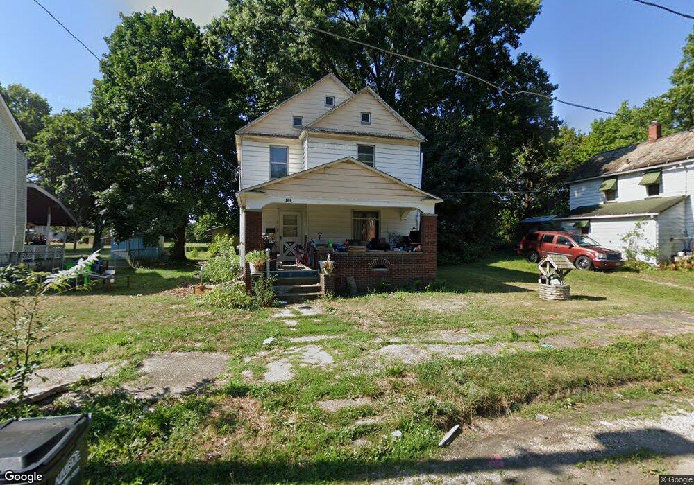
125 E Cambridge St Alliance, OH 44601
Estimated Value: $60,000 - $93,000
3
Beds
1
Bath
1,376
Sq Ft
$54/Sq Ft
Est. Value
About This Home
This home is located at 125 E Cambridge St, Alliance, OH 44601 and is currently estimated at $73,678, approximately $53 per square foot. 125 E Cambridge St is a home located in Stark County with nearby schools including Alliance Intermediate School at Northside, Alliance Elementary School at Rockhill, and Alliance Middle School.
Ownership History
Date
Name
Owned For
Owner Type
Purchase Details
Closed on
Nov 2, 2023
Sold by
Goshorn Kevin W
Bought by
Mason Elbert E and Mason Bobbie Jo
Current Estimated Value
Purchase Details
Closed on
Mar 2, 1994
Purchase Details
Closed on
Dec 28, 1992
Purchase Details
Closed on
Dec 18, 1992
Purchase Details
Closed on
Aug 6, 1992
Purchase Details
Closed on
Jun 27, 1991
Create a Home Valuation Report for This Property
The Home Valuation Report is an in-depth analysis detailing your home's value as well as a comparison with similar homes in the area
Home Values in the Area
Average Home Value in this Area
Purchase History
| Date | Buyer | Sale Price | Title Company |
|---|---|---|---|
| Mason Elbert E | -- | None Listed On Document | |
| -- | $15,300 | -- | |
| -- | $7,500 | -- | |
| -- | -- | -- | |
| -- | -- | -- | |
| -- | -- | -- |
Source: Public Records
Tax History
| Year | Tax Paid | Tax Assessment Tax Assessment Total Assessment is a certain percentage of the fair market value that is determined by local assessors to be the total taxable value of land and additions on the property. | Land | Improvement |
|---|---|---|---|---|
| 2025 | $313 | $18,210 | $5,640 | $12,570 |
| 2024 | -- | $18,210 | $5,640 | $12,570 |
| 2023 | $1,287 | $14,810 | $3,080 | $11,730 |
| 2022 | $599 | $14,810 | $3,080 | $11,730 |
| 2021 | $600 | $14,810 | $3,080 | $11,730 |
| 2020 | $537 | $12,360 | $2,660 | $9,700 |
| 2019 | $530 | $12,370 | $2,670 | $9,700 |
| 2018 | $533 | $12,370 | $2,670 | $9,700 |
| 2017 | $760 | $11,100 | $2,240 | $8,860 |
| 2016 | $491 | $11,100 | $2,240 | $8,860 |
| 2015 | $432 | $9,740 | $2,240 | $7,500 |
| 2014 | $315 | $6,760 | $2,000 | $4,760 |
| 2013 | $157 | $6,760 | $2,000 | $4,760 |
Source: Public Records
Map
Nearby Homes
- 0 E Oxford St
- 62 E High St
- 427 S Union Ave
- 726 S Arch Ave
- 807 S Union Ave
- 452 E Summit St
- 46 Rosenberry St
- 234 Rosenberry St
- 231 Rosenberry St
- 226 Milner St
- V/L S Freedom Ave
- 62 E Market St
- 621 S Haines Ave
- 134 11th St
- 228 W Oxford St
- 203 Glamorgan St
- 167 11th St
- 361 E Main St
- 442 S Liberty Ave
- 163 W Market St
- 143 E Cambridge St
- 115 E Cambridge St
- 107 E Cambridge St
- 153 E Cambridge St
- 641 Summit Ct
- 116 E Cambridge St
- 163 E Cambridge St
- 651 Summit Ct
- 118 E Cambridge St
- 635 S Mechanic Ave
- 175 E Cambridge St
- 661 Summit Ct
- 164 E Cambridge St
- 647 S Mechanic Ave
- 657 S Mechanic Ave
- 61 E Cambridge St
- 176 E Cambridge St
- 143 E Oxford St
- 143 E Oxford St
- 170 E Cambridge St
Your Personal Tour Guide
Ask me questions while you tour the home.