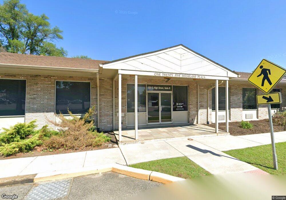
125 E High St Elkton, MD 21921
Estimated Value: $908,576
Studio
--
Bath
6,000
Sq Ft
$151/Sq Ft
Est. Value
About This Home
This home is located at 125 E High St, Elkton, MD 21921 and is currently estimated at $908,576, approximately $151 per square foot. 125 E High St is a home located in Cecil County with nearby schools including Thomson Estates Elementary School, Elkton Middle School, and Elkton High School.
Ownership History
Date
Name
Owned For
Owner Type
Purchase Details
Closed on
Sep 27, 2017
Sold by
Boone Bruce S and Boone Margaret J
Bought by
Bloomgarden Asset Llc
Current Estimated Value
Home Financials for this Owner
Home Financials are based on the most recent Mortgage that was taken out on this home.
Original Mortgage
$435,000
Outstanding Balance
$363,348
Interest Rate
3.82%
Mortgage Type
Purchase Money Mortgage
Estimated Equity
$545,229
Purchase Details
Closed on
Jun 10, 1999
Sold by
Dickson Enterprises
Bought by
Boone Bruce C and Boone Margaret J
Purchase Details
Closed on
Dec 29, 1988
Sold by
Brown Rodgers M
Bought by
Dickson Enterprises
Home Financials for this Owner
Home Financials are based on the most recent Mortgage that was taken out on this home.
Original Mortgage
$320,000
Interest Rate
10.68%
Create a Home Valuation Report for This Property
The Home Valuation Report is an in-depth analysis detailing your home's value as well as a comparison with similar homes in the area
Home Values in the Area
Average Home Value in this Area
Purchase History
| Date | Buyer | Sale Price | Title Company |
|---|---|---|---|
| Bloomgarden Asset Llc | $565,000 | Eastern Shore Title Co | |
| Boone Bruce C | $510,000 | -- | |
| Dickson Enterprises | $450,000 | -- |
Source: Public Records
Mortgage History
| Date | Status | Borrower | Loan Amount |
|---|---|---|---|
| Open | Bloomgarden Asset Llc | $435,000 | |
| Previous Owner | Dickson Enterprises | $320,000 |
Source: Public Records
Tax History
| Year | Tax Paid | Tax Assessment Tax Assessment Total Assessment is a certain percentage of the fair market value that is determined by local assessors to be the total taxable value of land and additions on the property. | Land | Improvement |
|---|---|---|---|---|
| 2025 | $9,877 | $570,900 | $0 | $0 |
| 2024 | $9,693 | $560,300 | $141,200 | $419,100 |
| 2023 | $9,749 | $560,300 | $141,200 | $419,100 |
| 2022 | $9,872 | $560,300 | $141,200 | $419,100 |
| 2021 | $9,674 | $562,400 | $141,200 | $421,200 |
| 2020 | $20,123 | $562,400 | $141,200 | $421,200 |
| 2019 | $10,061 | $562,400 | $141,200 | $421,200 |
| 2018 | $10,721 | $599,300 | $141,200 | $458,100 |
| 2017 | $10,698 | $598,000 | $0 | $0 |
| 2016 | $10,052 | $596,700 | $0 | $0 |
| 2015 | $10,052 | $595,400 | $0 | $0 |
| 2014 | $10,039 | $595,400 | $0 | $0 |
Source: Public Records
Map
Nearby Homes
- 0 W Main St Unit MDCC2016174
- 213 Locust Ln
- 110 Delaware Ave
- 162 W Main St
- 304 Hollingsworth St
- 212 Friendship Rd
- 217 W Main St
- 212 W Main St
- 114 Brown St
- 122 Pheasant Dr
- 916 N Bridge St
- 111 Saint Louis Dr
- 37 Jesse Boyd Cir
- 56 Jesse Boyd Cir
- 248 Red Hill Rd
- 152 Ben Blvd
- N/A Red Hill Rd
- 117 W Village Rd
- 00 Singerly Rd
- Lots 5 & 6 Singerly Rd
Your Personal Tour Guide
Ask me questions while you tour the home.