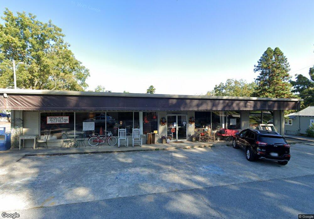
125 E Main St Dahlonega, GA 30533
Estimated Value: $1,400,665
--
Bed
--
Bath
6,460
Sq Ft
$217/Sq Ft
Est. Value
About This Home
This home is located at 125 E Main St, Dahlonega, GA 30533 and is currently priced at $1,400,665, approximately $216 per square foot. 125 E Main St is a home located in Lumpkin County with nearby schools including Clay County Middle School and Lumpkin County High School.
Ownership History
Date
Name
Owned For
Owner Type
Purchase Details
Closed on
Mar 23, 2021
Sold by
Ferguson Dana Clark
Bought by
Upper East Side Llc
Current Estimated Value
Purchase Details
Closed on
Jun 30, 1998
Purchase Details
Closed on
Jul 15, 1992
Sold by
Sartain Joe D
Bought by
Clark El Parks Chas
Purchase Details
Closed on
Apr 1, 1987
Sold by
Doris C
Bought by
Folger Phillip D
Purchase Details
Closed on
Sep 1, 1986
Sold by
Trammell Jerry S
Bought by
Folger Phil
Purchase Details
Closed on
Feb 1, 1985
Sold by
& Electrical Supply
Bought by
Dahlonega Plumbing
Create a Home Valuation Report for This Property
The Home Valuation Report is an in-depth analysis detailing your home's value as well as a comparison with similar homes in the area
Home Values in the Area
Average Home Value in this Area
Purchase History
| Date | Buyer | Sale Price | Title Company |
|---|---|---|---|
| Upper East Side Llc | $1,000,000 | -- | |
| -- | $190,000 | -- | |
| Clark El Parks Chas | $165,000 | -- | |
| Folger Phillip D | -- | -- | |
| Folger Phil | -- | -- | |
| Dahlonega Plumbing | -- | -- |
Source: Public Records
Tax History Compared to Growth
Tax History
| Year | Tax Paid | Tax Assessment Tax Assessment Total Assessment is a certain percentage of the fair market value that is determined by local assessors to be the total taxable value of land and additions on the property. | Land | Improvement |
|---|---|---|---|---|
| 2024 | $6,596 | $228,824 | $119,845 | $108,979 |
| 2023 | $6,596 | $228,824 | $119,845 | $108,979 |
| 2022 | $6,768 | $221,530 | $133,680 | $87,850 |
| 2021 | $5,033 | $154,266 | $94,654 | $59,612 |
| 2020 | $5,228 | $154,266 | $94,654 | $59,612 |
| 2019 | $5,255 | $154,266 | $94,654 | $59,612 |
| 2017 | $5,710 | $154,266 | $94,654 | $59,612 |
| 2016 | $5,836 | $154,266 | $94,654 | $59,612 |
Source: Public Records
Map
Nearby Homes
- 0 Highway 19 N Unit 10594984
- 0 S Chestatee St Unit 10619536
- 95 Jones St
- 315 Church St
- 1392 S Chestatee St
- 399 N Chestatee St
- 168 W Main St
- 329 Morrison Moore Pkwy E
- 120 Riley Rd
- 6480A Highway 52
- 0 Highway 60 Unit 7241582
- 502 Wimpy Mill Rd
- 0 Highway 9 S Unit 10487179
- 0 Highway 9 S Unit 7548614
- 0 Calhoun Rd Unit 7643314
- 0 Calhoun Rd Unit 10598012
- 00 Calhoun Rd
- 94 Mountain View Dr
- 0 Alicia Ln
- 0 Crown Mountain Unit 7682225
- 21 Enota St
- 00 Grove St N
- 0 Grove St N Unit 7265863
- 0 Grove St N Unit 7261625
- 0 Grove St N Unit 7251544
- 0 Grove St N Unit 2708198
- 0 Grove St N Unit 8999490
- 0 Grove St N Unit 8310676
- 11 S Grove St
- 33 Boyd Cir
- 22 Grove St N
- 0 Highway 19 N Unit 6045352
- 0 Highway 19 N Unit 8421050
- 0 Hwy 19 N Unit 5989314
- 0 Hwy 19 N Unit 5859189
- 0 Highway 19 N Unit A1,A2 8287046
- 0 Highway 19 N Unit 97AC 8252311
- 0 Highway 19 N Unit 2861589
- 0 Highway 19 N Unit 2976322
- 0 Highway 19 N Unit 7052959