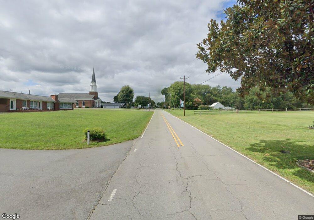
125 E Main St East Bend, NC 27018
Estimated Value: $134,000 - $316,000
3
Beds
3
Baths
1,949
Sq Ft
$136/Sq Ft
Est. Value
About This Home
This home is located at 125 E Main St, East Bend, NC 27018 and is currently estimated at $264,347, approximately $135 per square foot. 125 E Main St is a home located in Yadkin County.
Ownership History
Date
Name
Owned For
Owner Type
Purchase Details
Closed on
Aug 28, 2024
Sold by
Freeland Thomas Alfred and Freeland Kateria Martin
Bought by
Freeland Thomas Alfred and Freeland Kateria Martin
Current Estimated Value
Purchase Details
Closed on
Mar 21, 2024
Sold by
Davis Paul Evan and Davis Angel N
Bought by
Freeland Thomas Alfred and Freeland Kateria Martin
Purchase Details
Closed on
Feb 3, 2021
Sold by
Davis Lynne Chamberlain
Bought by
Davis Paul Barry
Create a Home Valuation Report for This Property
The Home Valuation Report is an in-depth analysis detailing your home's value as well as a comparison with similar homes in the area
Home Values in the Area
Average Home Value in this Area
Purchase History
| Date | Buyer | Sale Price | Title Company |
|---|---|---|---|
| Freeland Thomas Alfred | -- | None Listed On Document | |
| Freeland Thomas Alfred | -- | None Listed On Document | |
| Freeland Thomas Alfred | $280,000 | None Listed On Document | |
| Freeland Thomas Alfred | $280,000 | None Listed On Document | |
| Davis Paul Barry | -- | None Available | |
| Davis Paul Barry | -- | Epley Kolby K |
Source: Public Records
Tax History Compared to Growth
Tax History
| Year | Tax Paid | Tax Assessment Tax Assessment Total Assessment is a certain percentage of the fair market value that is determined by local assessors to be the total taxable value of land and additions on the property. | Land | Improvement |
|---|---|---|---|---|
| 2025 | $2,640 | $220,788 | $26,125 | $194,663 |
| 2024 | $2,617 | $218,052 | $23,389 | $194,663 |
| 2023 | $2,617 | $218,052 | $23,389 | $194,663 |
| 2022 | $1,995 | $165,115 | $21,262 | $143,853 |
| 2021 | $1,995 | $165,115 | $21,262 | $143,853 |
| 2020 | $1,994 | $165,115 | $21,262 | $143,853 |
| 2019 | $1,994 | $165,115 | $21,262 | $143,853 |
| 2018 | $2,035 | $165,115 | $21,262 | $143,853 |
| 2017 | $1,955 | $165,115 | $21,262 | $143,853 |
| 2016 | $2,129 | $179,892 | $23,625 | $156,267 |
| 2015 | $2,172 | $179,892 | $23,625 | $156,267 |
| 2014 | $2,172 | $179,892 | $23,625 | $156,267 |
| 2013 | $1,343 | $179,892 | $23,625 | $156,267 |
Source: Public Records
Map
Nearby Homes
- 219 Brewer Cir
- 0 Flint Hill Rd Unit 1193666
- 212 River St
- 01 N Carolina 67
- 317 Benbow Dr
- 105 Fairground Rd
- 0 Benbow Dr
- 0 Shady Grove Church Rd
- 3809 Union Hill Rd
- 3924 Prides Rd
- 4235 Shady Grove Church Rd
- 3753 Prides Rd
- 1080 Autumn Dr
- 7192 Fisher Rd
- 588 Roby Fulk Rd
- 5013 Friendship Circle Rd
- 7680 Donnaha Rd
- 1105 Cabana Ln
- 4933 Wrenn Rd
- 6937 N Carolina 67
- 124 E Main St
- 121 E Main St
- 200 E Main St
- 204 E Main St
- 204 E Main St
- 206 E Main St
- 120 E Main St
- 104 Union Hill Rd
- 113 Union Hill Rd
- 209 E Main St
- 208 E Main St
- 117 Union Hill Rd
- 109 E Main St
- 112 Union Hill Rd
- 117 N Carolina 67
- 213 E Main St
- 201 Union Hill Rd
- 117 Pauline St
- 200 Union Hill Rd
- 100 W Main St
