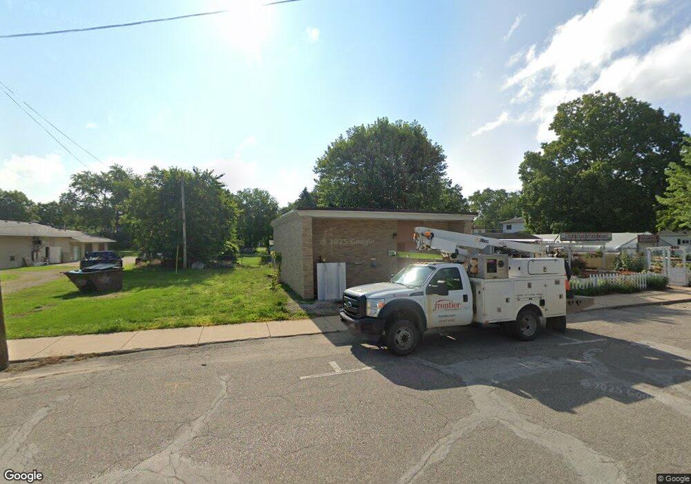
125 E Maple Ave Maple Rapids, MI 48853
Estimated Value: $52,448
Studio
--
Bath
1,516
Sq Ft
$35/Sq Ft
Est. Value
About This Home
This home is located at 125 E Maple Ave, Maple Rapids, MI 48853 and is currently estimated at $52,448, approximately $34 per square foot. 125 E Maple Ave is a home located in Clinton County with nearby schools including Fulton Elementary School, Fulton Middle School, and Fulton High School.
Ownership History
Date
Name
Owned For
Owner Type
Purchase Details
Closed on
Jan 22, 2024
Sold by
Sills Dean and Sills Ronda
Bought by
125 N Maple Ave Llc
Current Estimated Value
Purchase Details
Closed on
Apr 25, 2023
Sold by
Miniard Kevin and Miniard Lori
Bought by
Sills Dean and Sills Ronda
Purchase Details
Closed on
Oct 7, 2021
Sold by
Deman Walter A
Bought by
Mintard Lori and Miniard Kevin
Purchase Details
Closed on
Jun 16, 2003
Sold by
Daman Carol M
Bought by
Daman Walter A
Purchase Details
Closed on
Jun 9, 2003
Sold by
Castle Victor O and Castle Helen L
Bought by
Daman Walter A
Create a Home Valuation Report for This Property
The Home Valuation Report is an in-depth analysis detailing your home's value as well as a comparison with similar homes in the area
Purchase History
| Date | Buyer | Sale Price | Title Company |
|---|---|---|---|
| 125 N Maple Ave Llc | -- | None Listed On Document | |
| Sills Dean | $17,000 | None Listed On Document | |
| Mintard Lori | $25,000 | Crossroads Title | |
| Daman Walter A | -- | -- | |
| Daman Walter A | $20,000 | Fatic | |
| Castle Victor O | $25,001 | Fatic |
Source: Public Records
Tax History
| Year | Tax Paid | Tax Assessment Tax Assessment Total Assessment is a certain percentage of the fair market value that is determined by local assessors to be the total taxable value of land and additions on the property. | Land | Improvement |
|---|---|---|---|---|
| 2025 | $1,984 | $48,300 | $10,000 | $38,300 |
| 2024 | $5 | $46,100 | $7,500 | $38,600 |
| 2023 | $488 | $41,200 | $6,000 | $35,200 |
| 2022 | $1,790 | $41,000 | $6,300 | $34,700 |
| 2021 | $800 | $41,200 | $6,000 | $35,200 |
| 2020 | $736 | $41,000 | $6,000 | $35,000 |
| 2019 | $706 | $37,200 | $2,500 | $34,700 |
| 2018 | $0 | $29,600 | $2,500 | $27,100 |
| 2017 | -- | $29,500 | $1,800 | $27,700 |
| 2016 | $670 | $30,900 | $1,800 | $29,100 |
| 2015 | -- | $29,200 | $0 | $0 |
| 2011 | -- | $21,600 | $0 | $0 |
Source: Public Records
Map
Nearby Homes
- 220 N Maple Ave
- 129 E Main St
- 132 E Washington St
- TBD E Main St
- 8095 Mcintosh Rd
- 7240 Empire Rd
- 8150 Idared Rd
- 9515 W Moss Rd
- 00 S Skyline
- 4941 Skyline Dr
- 005 Skyline Dr
- 7150 W Mead Rd
- 159 Hardwood Trail
- TBD Hardwood Trail
- TBD Oakridge Trail
- Lot 355 Oakridge Trail
- 04 Lakeview Ct
- 05 Lakeview Ct
- 00 W Ranger Rd
- 0 Lakeside Dr Unit LOT 1 3520630
- 125 N Maple Ave
- 119 N Maple Ave
- 136 Water St
- 110 Water St
- 110 E Water St
- 124 Water St
- 132 N Franklin St
- 126 N Franklin St
- 216 N Maple Ave
- 111 E Main St
- 221 N Maple Ave
- 106 N Franklin St
- 123 E Water St
- 79 N Maple Ave
- 139 N Oak St
- 406 W Main St
- 227 N Maple Ave
- 117 E Main St
- 129 N Oak St
- 131 N Franklin St
Your Personal Tour Guide
Ask me questions while you tour the home.