125 E Peters Rd West Branch, MI 48661
Estimated Value: $69,289 - $318,000
--
Bed
--
Bath
--
Sq Ft
2.18
Acres
About This Home
This home is located at 125 E Peters Rd, West Branch, MI 48661 and is currently estimated at $136,072. 125 E Peters Rd is a home located in Ogemaw County with nearby schools including Surline Elementary School, Surline Middle School, and Ogemaw Heights High School.
Ownership History
Date
Name
Owned For
Owner Type
Purchase Details
Closed on
Aug 18, 2014
Bought by
Antcliff Monty K and Antcliff Jeanne L
Current Estimated Value
Purchase Details
Closed on
Mar 20, 2014
Bought by
Runyan Leann
Purchase Details
Closed on
Oct 31, 2007
Sold by
Antcliff Florine L and Antcliff
Bought by
Runyan Leann and Runyan Leeann
Home Financials for this Owner
Home Financials are based on the most recent Mortgage that was taken out on this home.
Original Mortgage
$32,098
Interest Rate
6.38%
Create a Home Valuation Report for This Property
The Home Valuation Report is an in-depth analysis detailing your home's value as well as a comparison with similar homes in the area
Home Values in the Area
Average Home Value in this Area
Purchase History
| Date | Buyer | Sale Price | Title Company |
|---|---|---|---|
| Antcliff Monty K | $8,500 | -- | |
| Runyan Leann | $12,750 | -- | |
| Runyan Leann | $32,000 | -- |
Source: Public Records
Mortgage History
| Date | Status | Borrower | Loan Amount |
|---|---|---|---|
| Previous Owner | Runyan Leann | $32,098 |
Source: Public Records
Tax History Compared to Growth
Tax History
| Year | Tax Paid | Tax Assessment Tax Assessment Total Assessment is a certain percentage of the fair market value that is determined by local assessors to be the total taxable value of land and additions on the property. | Land | Improvement |
|---|---|---|---|---|
| 2025 | $239 | $11,900 | $0 | $0 |
| 2024 | $1 | $11,300 | $0 | $0 |
| 2023 | $108 | $9,000 | $0 | $0 |
| 2022 | $397 | $8,400 | $0 | $0 |
| 2021 | $370 | $8,200 | $0 | $0 |
| 2020 | $155 | $6,200 | $0 | $0 |
| 2019 | $148 | $5,900 | $0 | $0 |
| 2018 | $145 | $7,000 | $0 | $0 |
| 2017 | $134 | $7,000 | $0 | $0 |
| 2016 | $133 | $7,000 | $0 | $0 |
| 2015 | $133 | $5,100 | $0 | $0 |
| 2014 | -- | $11,200 | $0 | $0 |
Source: Public Records
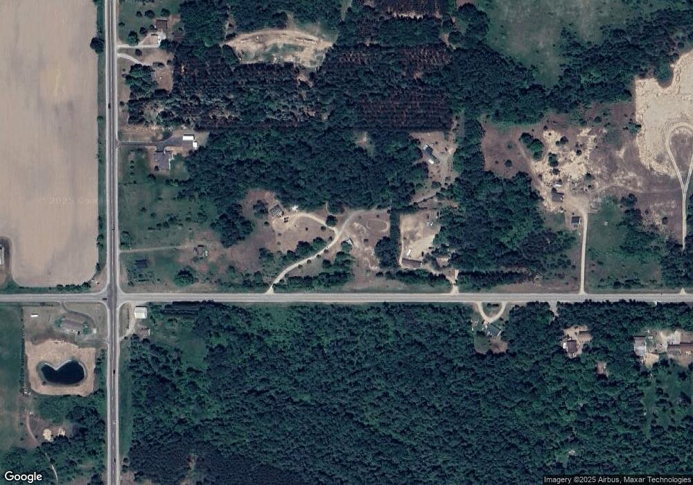
Map
Nearby Homes
- 409 S Morrison Rd
- 358 E Esmond Rd
- 1380 S Campbell Rd
- 3086 Gradowski R#3 Dr
- 1240 Quigley Rd
- 0 Fox Run Rd Unit 1874470
- 4949 Michigan 33
- 2249 W State Rd
- 302 W Page St
- 108 W Page St
- 2301 Birchcrest Dr
- 206 George Smith Jr St
- x Oleskie Trail
- 780 Wiltse Rd
- 2190 Fox Run
- 2249 Fox Run
- 00 N Fairview Rd
- 3091 Sage Lake Rd
- 2388 Dam Rd
- 0 Whitetail Ct Unit 165
- 125 E Peters Rd
- 67 E Peters Rd
- 141 E Peters Rd
- 139 E Peters Rd
- 158 E Peters Rd
- 64 N M 33
- 0 W Peters Rd
- 193 E Peters Rd
- 193 E Peters Rd
- 18 N M 33
- 200 E Peters Rd
- 0 Centerline (M-33) Unit 218079299
- 0 Centerline (M-33)
- 0 Centerline (M-33) Unit G21492753
- 0 S M 33
- 262 N M 33
- 262 N M 33
- 398 N M 33
- 558 Maple
- 18 S M 33