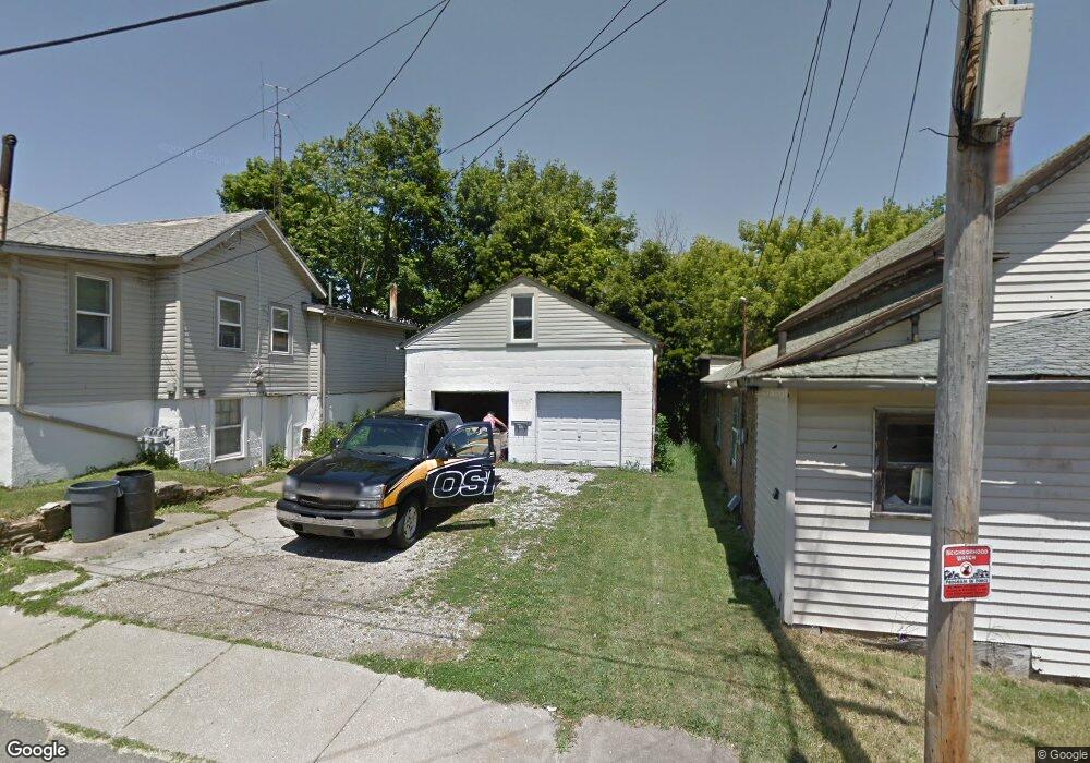
125 Flint St Mansfield, OH 44902
Estimated Value: $72,000 - $439,000
4
Beds
3
Baths
1,902
Sq Ft
$134/Sq Ft
Est. Value
About This Home
This home is located at 125 Flint St, Mansfield, OH 44902 and is currently estimated at $255,500, approximately $134 per square foot. 125 Flint St is a home located in Richland County with nearby schools including St. Peter's Elementary/Montessori School, St. Peter's High School/Junior High, and Discovery School.
Ownership History
Date
Name
Owned For
Owner Type
Purchase Details
Closed on
Aug 17, 2016
Sold by
Richland County Land Reutilization Corpo
Bought by
Ford Donell and Ford Marjorie
Current Estimated Value
Purchase Details
Closed on
Mar 12, 2015
Sold by
A & M Properties Of Mansfield Llc
Bought by
Richland County Land Reutilization Corpo
Purchase Details
Closed on
Aug 29, 2008
Sold by
Ss Real Estate Investments Ltd
Bought by
A & M Properties Of Mansfield Llc
Purchase Details
Closed on
Mar 24, 1998
Sold by
Webb Bernard E
Bought by
Tilmant Mark
Create a Home Valuation Report for This Property
The Home Valuation Report is an in-depth analysis detailing your home's value as well as a comparison with similar homes in the area
Home Values in the Area
Average Home Value in this Area
Purchase History
| Date | Buyer | Sale Price | Title Company |
|---|---|---|---|
| Ford Donell | -- | None Available | |
| Richland County Land Reutilization Corpo | -- | None Available | |
| A & M Properties Of Mansfield Llc | $30,000 | Acs Title | |
| Tilmant Mark | $22,000 | -- |
Source: Public Records
Tax History Compared to Growth
Tax History
| Year | Tax Paid | Tax Assessment Tax Assessment Total Assessment is a certain percentage of the fair market value that is determined by local assessors to be the total taxable value of land and additions on the property. | Land | Improvement |
|---|---|---|---|---|
| 2024 | $4 | $80 | $80 | $0 |
| 2023 | $4 | $80 | $80 | $0 |
| 2022 | $5 | $80 | $80 | $0 |
| 2021 | $5 | $80 | $80 | $0 |
| 2020 | $5 | $80 | $80 | $0 |
| 2019 | $5 | $70 | $70 | $0 |
| 2018 | $5 | $70 | $70 | $0 |
| 2017 | $53 | $1,600 | $70 | $1,530 |
| 2016 | $22 | $340 | $80 | $260 |
| 2015 | $21 | $340 | $80 | $260 |
| 2014 | $21 | $340 | $80 | $260 |
| 2012 | -- | $350 | $80 | $270 |
Source: Public Records
Map
Nearby Homes
- 188 S Franklin Ave
- 0 N Adams St
- 319 Altamont Ave
- 259 S Main St
- 212 S Main St
- 261 Superior St
- 286 S Main St
- 327 Hammond Ave
- 175 S Mulberry St
- 305 Home Ave
- 186 S Mulberry St
- 209 Second
- 96 Glenwood Heights
- 394 S Main St
- 137 Lexington Ave
- 519 S Diamond St
- 82 N Adams St
- 430 Beethoven St
- 172 -172 1 2 Lexington Ave
- 116 W 2nd St
- 125 Flint St
- 129 Flint St
- 187 S Adams St
- 182 Educational Place
- 126 Flint St
- 124 Flint St
- 181 S Adams St
- 195 S Adams St
- 202 Educational Place
- 203 S Adams St
- 177 S Adams St
- 206 Educational Place
- 205 S Adams St
- 211 S Adams St
- 210 Educational Place
- 167 S Adams St
- 176 S Adams St
- 176 S Adams St
- 159 S Adams St
- 202 S Adams St