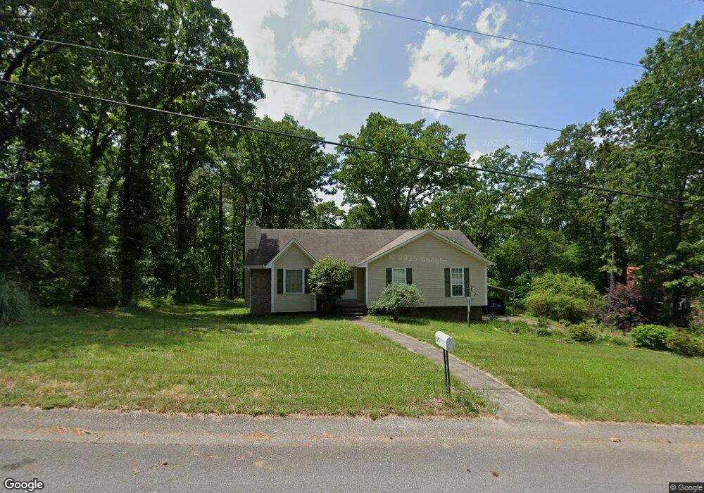
125 Forest Ridge Rd Maylene, AL 35114
Estimated Value: $247,973 - $284,000
--
Bed
1
Bath
1,500
Sq Ft
$174/Sq Ft
Est. Value
About This Home
This home is located at 125 Forest Ridge Rd, Maylene, AL 35114 and is currently estimated at $260,493, approximately $173 per square foot. 125 Forest Ridge Rd is a home located in Shelby County with nearby schools including Thompson Intermediate School, Thompson Middle School, and Thompson High School.
Ownership History
Date
Name
Owned For
Owner Type
Purchase Details
Closed on
Jun 26, 1999
Sold by
Mccaul Christopher C
Bought by
Vlas Jeffrey S and Vlas Jennifer L
Current Estimated Value
Home Financials for this Owner
Home Financials are based on the most recent Mortgage that was taken out on this home.
Original Mortgage
$106,084
Outstanding Balance
$29,410
Interest Rate
7.43%
Mortgage Type
FHA
Estimated Equity
$231,083
Purchase Details
Closed on
Apr 15, 1998
Sold by
Richardson Evelyn W
Bought by
Shelby Resources Inc
Create a Home Valuation Report for This Property
The Home Valuation Report is an in-depth analysis detailing your home's value as well as a comparison with similar homes in the area
Home Values in the Area
Average Home Value in this Area
Purchase History
| Date | Buyer | Sale Price | Title Company |
|---|---|---|---|
| Vlas Jeffrey S | $107,000 | Magic City Title Company Inc | |
| Shelby Resources Inc | $45,651 | -- |
Source: Public Records
Mortgage History
| Date | Status | Borrower | Loan Amount |
|---|---|---|---|
| Open | Vlas Jeffrey S | $106,084 |
Source: Public Records
Tax History Compared to Growth
Tax History
| Year | Tax Paid | Tax Assessment Tax Assessment Total Assessment is a certain percentage of the fair market value that is determined by local assessors to be the total taxable value of land and additions on the property. | Land | Improvement |
|---|---|---|---|---|
| 2024 | $1,135 | $21,020 | $0 | $0 |
| 2023 | $1,018 | $19,620 | $0 | $0 |
| 2022 | $947 | $18,300 | $0 | $0 |
| 2021 | $842 | $16,360 | $0 | $0 |
| 2020 | $779 | $15,180 | $0 | $0 |
| 2019 | $729 | $14,260 | $0 | $0 |
| 2017 | $638 | $12,580 | $0 | $0 |
| 2015 | $621 | $12,260 | $0 | $0 |
| 2014 | $605 | $11,960 | $0 | $0 |
Source: Public Records
Map
Nearby Homes
- 1315 Yellowleaf Cir
- 409 Sweet Leaf Ln
- 128 Oak St
- 1166 Eagle Dr
- 217 Kensington Ln
- 104 Maple St
- 226 Lake Forest Way
- 104 Camden Cir
- 549 Ramsgate Dr
- 155 Victoria Station
- 545 Ramsgate Dr
- 309 Cedar Grove Ct
- 1520 Tropical Cir
- 280 Cedar Grove Pkwy Unit 34
- 144 Palm Dr
- 537 Ramsgate Dr
- 204 Shalimar Cir
- 236 Queens Gate
- 113 Palm Dr
- 306 Mayfair Cir
- 121 Forest Ridge Rd
- 129 Forest Ridge Rd
- 124 Forest Ridge Rd
- 117 Forest Ridge Rd
- 120 Forest Ridge Rd
- 133 Forest Ridge Rd
- 116 Forest Ridge Rd
- 128 Forest Ridge Rd
- 113 Forest Ridge Rd
- 112 Forest Ridge Rd
- 117 Hillside Dr
- 137 Forest Ridge Rd
- 105 Mountain Pkwy
- 101 Mountain Pkwy
- 103 Mountain Pkwy
- 109 Forest Ridge Rd
- 116 Hillside Dr
- 109 Mountain Pkwy
- 113 Hillside Dr
- 141 Forest Ridge Rd