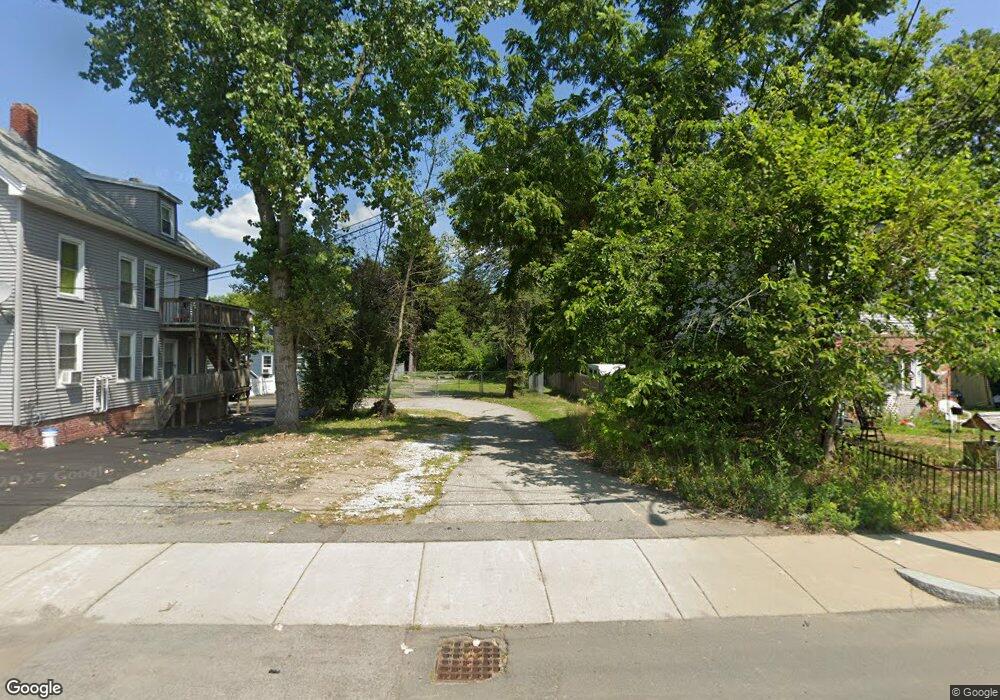
125 Hilldale Ave Haverhill, MA 01832
Broad Hill NeighborhoodEstimated Value: $286,614 - $776,000
--
Bed
1
Bath
--
Sq Ft
0.28
Acres
About This Home
This home is located at 125 Hilldale Ave, Haverhill, MA 01832 and is currently estimated at $467,154. 125 Hilldale Ave is a home located in Essex County with nearby schools including Tilton Elementary School.
Ownership History
Date
Name
Owned For
Owner Type
Purchase Details
Closed on
Jun 2, 2014
Sold by
Currier Forrest R and Currier Marie T
Bought by
Boston Gas Co
Current Estimated Value
Purchase Details
Closed on
Sep 25, 1990
Sold by
Brown Irma L
Bought by
Currier Forrest R
Home Financials for this Owner
Home Financials are based on the most recent Mortgage that was taken out on this home.
Original Mortgage
$35,351
Interest Rate
9.95%
Create a Home Valuation Report for This Property
The Home Valuation Report is an in-depth analysis detailing your home's value as well as a comparison with similar homes in the area
Home Values in the Area
Average Home Value in this Area
Purchase History
| Date | Buyer | Sale Price | Title Company |
|---|---|---|---|
| Boston Gas Co | $140,000 | -- | |
| Currier Forrest R | $15,000 | -- |
Source: Public Records
Mortgage History
| Date | Status | Borrower | Loan Amount |
|---|---|---|---|
| Previous Owner | Currier Forrest R | $182,750 | |
| Previous Owner | Currier Forrest R | $71,000 | |
| Previous Owner | Currier Forrest R | $35,351 |
Source: Public Records
Tax History Compared to Growth
Tax History
| Year | Tax Paid | Tax Assessment Tax Assessment Total Assessment is a certain percentage of the fair market value that is determined by local assessors to be the total taxable value of land and additions on the property. | Land | Improvement |
|---|---|---|---|---|
| 2025 | $1,411 | $131,700 | $131,700 | $0 |
| 2024 | $1,308 | $122,900 | $122,900 | $0 |
| 2023 | $1,370 | $122,900 | $122,900 | $0 |
| 2022 | $1,434 | $112,700 | $112,700 | $0 |
| 2021 | $1,298 | $96,600 | $96,600 | $0 |
| 2020 | $1,254 | $92,200 | $92,200 | $0 |
| 2019 | $1,123 | $80,500 | $80,500 | $0 |
| 2018 | $1,085 | $76,100 | $76,100 | $0 |
| 2017 | $1,052 | $70,200 | $70,200 | $0 |
| 2016 | $945 | $61,500 | $61,500 | $0 |
| 2015 | $2,411 | $157,100 | $61,500 | $95,600 |
Source: Public Records
Map
Nearby Homes
- 5 Sherman Ave
- 23 Lewis St
- 97-99 Blaisdell St Unit 2
- 99 Blaisdell St Unit C
- 11 York St Unit 11
- 9 York St Unit 9
- 19 Greenhill Farm Rd
- 5 Kimball St
- 192 Franklin St
- 151 Franklin St
- 40 Bellevue Ave Unit 42
- 6 Dexter St
- 34 7th Ave
- 25-27 Dover St
- 16 Standish Rd
- 8 Dustin St
- 110 Pilling St
- 17 Vine St
- 43 Boston St Unit 43
- 39 Boston St Unit 39
- 131 Hilldale Ave
- 135 Hilldale Ave
- 135 Hilldale Ave Unit 1
- 137 Hilldale Ave
- 135 Hilldale Ave Unit 135
- 133 Hilldale Ave
- 123 Hilldale Ave
- 111 Hilldale Ave
- 2 Little River St
- 141 Hilldale Ave
- 4 Little River St
- 145 Hilldale Ave
- 149 Hilldale Ave
- 1 Little River St
- 101 Hilldale Ave
- 5 Little River St
- 5 Little River St Unit 2
- 5 Little River St Unit 1
- 3 Little River St
- 3 1/2 Little River St