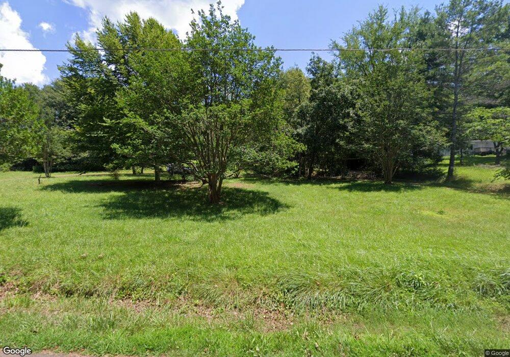
125 Homestead Rd Pickens, SC 29671
Estimated Value: $130,000 - $194,152
3
Beds
1
Bath
1,816
Sq Ft
$94/Sq Ft
Est. Value
About This Home
This home is located at 125 Homestead Rd, Pickens, SC 29671 and is currently estimated at $170,538, approximately $93 per square foot. 125 Homestead Rd is a home located in Pickens County with nearby schools including Hagood Elementary School, Pickens Middle School, and Pickens High School.
Ownership History
Date
Name
Owned For
Owner Type
Purchase Details
Closed on
Sep 5, 2025
Sold by
Beck Real Estate Holdings Llc
Bought by
Fernstrom Peter and Fernstrom Alisa Levitt
Current Estimated Value
Purchase Details
Closed on
Jan 23, 2025
Sold by
Swenson Robert Francis and Swenson Sara Amanda
Bought by
Beck Real Estate Holdings Llc
Purchase Details
Closed on
Dec 2, 2009
Sold by
Mcnabola Helen
Bought by
Swenson Robert F
Purchase Details
Closed on
Sep 2, 2005
Sold by
Smith Mildred W
Bought by
Mcnabola Helen and Beverly Street Trust
Create a Home Valuation Report for This Property
The Home Valuation Report is an in-depth analysis detailing your home's value as well as a comparison with similar homes in the area
Home Values in the Area
Average Home Value in this Area
Purchase History
| Date | Buyer | Sale Price | Title Company |
|---|---|---|---|
| Fernstrom Peter | $395,000 | None Listed On Document | |
| Beck Real Estate Holdings Llc | $180,000 | None Listed On Document | |
| Swenson Robert F | -- | -- | |
| Mcnabola Helen | $135,000 | None Available |
Source: Public Records
Tax History Compared to Growth
Tax History
| Year | Tax Paid | Tax Assessment Tax Assessment Total Assessment is a certain percentage of the fair market value that is determined by local assessors to be the total taxable value of land and additions on the property. | Land | Improvement |
|---|---|---|---|---|
| 2024 | $3,292 | $8,410 | $1,920 | $6,490 |
| 2023 | $2,015 | $8,410 | $1,920 | $6,490 |
| 2022 | $0 | $8,410 | $1,920 | $6,490 |
| 2021 | $269 | $8,410 | $1,920 | $6,490 |
| 2020 | $201 | $5,608 | $1,280 | $4,328 |
| 2019 | $202 | $480 | $480 | $0 |
| 2018 | $269 | $1,120 | $1,120 | $0 |
| 2017 | $266 | $1,120 | $1,120 | $0 |
| 2015 | $339 | $400 | $0 | $0 |
| 2008 | -- | $7,810 | $1,680 | $6,130 |
Source: Public Records
Map
Nearby Homes
- 2110 Walhalla Hwy
- 2015 Walhalla Hwy
- 2012 Walhalla Hwy
- 352 Riggins Rd
- 101 Long View Ln
- 619 Amberwood Rd
- 102 Long View Ct
- 00 6 Mile Mountain Rd
- 169 Sunset Rd
- 476 Cedar Hill Rd
- 875 Love and Care Rd
- 1100 Mile Creek Rd
- 151 Rolling Hills Rd
- 249 Cedar Hill Rd
- 000 Six-Mile Hwy Unit Tract A & B
- 000 Six-Mile Hwy Unit Tract B
- 000 Six-Mile Hwy Unit Tract C
- 125 Breckenridge Dr
- 2956 Walhalla Hwy
- 102 Bryant Ln
- 120 Homestead Rd
- 144 Homestead Rd
- 150 Homestead Rd
- 2139 Walhalla Hwy
- 184 Rolling Green Rd
- 2131 Walhalla Hwy
- 140 Homestead Rd
- 2215 Walhalla Hwy
- 118 Rolling Green Rd
- 2211 Walhalla Hwy
- 168 Homestead Rd
- 2130 Walhalla Hwy
- 158 Bryant Ln
- 2136 Walhalla Hwy
- 2200 Walhalla Hwy
- 119 Jacks Dr
- 117 Rolling Green Rd
- 1.595 A S Carolina 183
- 0 S Carolina 183
