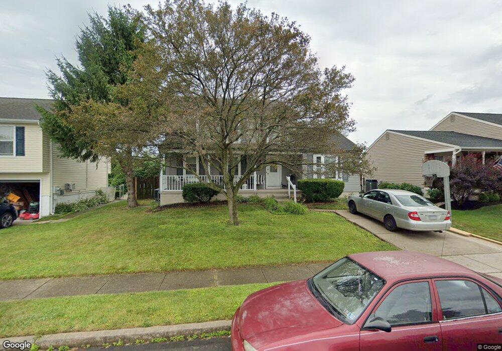
125 Independence Dr Morrisville, PA 19067
Estimated Value: $486,000 - $544,498
3
Beds
3
Baths
1,824
Sq Ft
$289/Sq Ft
Est. Value
About This Home
This home is located at 125 Independence Dr, Morrisville, PA 19067 and is currently estimated at $526,375, approximately $288 per square foot. 125 Independence Dr is a home located in Bucks County with nearby schools including Eleanor Roosevelt Elementary School, Pennwood Middle School, and Pennsbury High School.
Ownership History
Date
Name
Owned For
Owner Type
Purchase Details
Closed on
Oct 20, 2004
Sold by
Boulos Sameh
Bought by
Nagib Susan
Current Estimated Value
Home Financials for this Owner
Home Financials are based on the most recent Mortgage that was taken out on this home.
Original Mortgage
$60,000
Outstanding Balance
$29,675
Interest Rate
5.75%
Mortgage Type
Fannie Mae Freddie Mac
Estimated Equity
$496,700
Purchase Details
Closed on
Dec 28, 2001
Sold by
Nagib Albir N and Nagib Suzan B
Bought by
Boulos Sameh
Create a Home Valuation Report for This Property
The Home Valuation Report is an in-depth analysis detailing your home's value as well as a comparison with similar homes in the area
Home Values in the Area
Average Home Value in this Area
Purchase History
| Date | Buyer | Sale Price | Title Company |
|---|---|---|---|
| Nagib Susan | $150,000 | First American Title Ins Co | |
| Boulos Sameh | $146,200 | -- |
Source: Public Records
Mortgage History
| Date | Status | Borrower | Loan Amount |
|---|---|---|---|
| Open | Nagib Susan | $60,000 |
Source: Public Records
Tax History Compared to Growth
Tax History
| Year | Tax Paid | Tax Assessment Tax Assessment Total Assessment is a certain percentage of the fair market value that is determined by local assessors to be the total taxable value of land and additions on the property. | Land | Improvement |
|---|---|---|---|---|
| 2025 | $6,948 | $31,200 | $5,280 | $25,920 |
| 2024 | $6,948 | $31,200 | $5,280 | $25,920 |
| 2023 | $6,657 | $31,200 | $5,280 | $25,920 |
| 2022 | $6,450 | $31,200 | $5,280 | $25,920 |
| 2021 | $6,326 | $31,200 | $5,280 | $25,920 |
| 2020 | $6,326 | $31,200 | $5,280 | $25,920 |
| 2019 | $6,215 | $31,200 | $5,280 | $25,920 |
| 2018 | $6,138 | $31,200 | $5,280 | $25,920 |
| 2017 | $5,984 | $31,200 | $5,280 | $25,920 |
| 2016 | $5,984 | $31,200 | $5,280 | $25,920 |
| 2015 | $5,504 | $31,200 | $5,280 | $25,920 |
| 2014 | $5,504 | $31,200 | $5,280 | $25,920 |
Source: Public Records
Map
Nearby Homes
- 115 Winding Way
- 10 Makefield Rd
- 113 Juliet Rd
- 413 Alden Ave
- 404 Alden Ave
- 5 Patrick Ln
- 229 Walton Dr
- 199 Share Dr
- 670 Lincoln Hwy
- 494 Keating Dr
- 184 Crestview Way
- 120 Vermont Ln
- 329 Sherwood Dr
- 581 Nottingham Dr
- LOT 021-003 W M Y Ln
- 46 Moon Dr
- 942 Roeloffs Ct
- 79 Sutphin Pines
- 320 Melvin Ave N
- 554 Doloro Dr
- 123 Independence Dr
- 127 Independence Dr
- 121 Independence Dr
- 129 Independence Dr
- 116 Independence Dr
- 118 Independence Dr
- 131 Independence Dr
- 119 Independence Dr
- 120 Independence Dr
- 415 Justice Ln
- 418 Justice Ln
- 133 Independence Dr
- 122 Independence Dr
- 117 Independence Dr
- 112 Independence Dr
- 419 Federal Ln
- 416 Justice Ln
- 417 Federal Ln
- 135 Independence Dr
- 413 Justice Ln