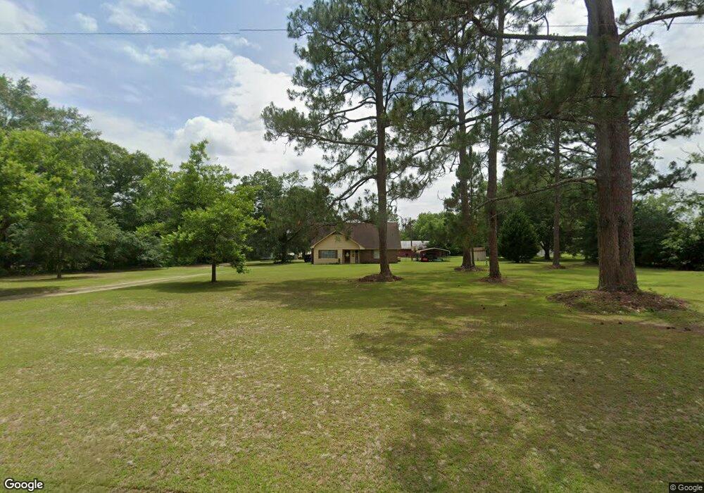
125 Jp Perry Rd Norman Park, GA 31771
Estimated Value: $180,000 - $237,000
--
Bed
2
Baths
2,394
Sq Ft
$90/Sq Ft
Est. Value
About This Home
This home is located at 125 Jp Perry Rd, Norman Park, GA 31771 and is currently estimated at $215,721, approximately $90 per square foot. 125 Jp Perry Rd is a home located in Colquitt County with nearby schools including Norman Park Elementary School, C.A. Gray Junior High School, and Willie J. Williams Middle School.
Ownership History
Date
Name
Owned For
Owner Type
Purchase Details
Closed on
Dec 19, 2016
Sold by
Lynch Ronald S
Bought by
Baker Larry D and Baker Gregory D
Current Estimated Value
Home Financials for this Owner
Home Financials are based on the most recent Mortgage that was taken out on this home.
Original Mortgage
$72,973
Interest Rate
3.94%
Mortgage Type
Mortgage Modification
Purchase Details
Closed on
Nov 8, 2015
Sold by
Lynch Myrtle
Bought by
Lynch Myrtle and Lynch Ronald
Purchase Details
Closed on
Sep 9, 1992
Sold by
Whitehead Thomas C
Bought by
Lynch Roy Jackson
Purchase Details
Closed on
Jun 10, 1988
Sold by
Stephens
Bought by
Whitehead Thomas C
Create a Home Valuation Report for This Property
The Home Valuation Report is an in-depth analysis detailing your home's value as well as a comparison with similar homes in the area
Home Values in the Area
Average Home Value in this Area
Purchase History
| Date | Buyer | Sale Price | Title Company |
|---|---|---|---|
| Baker Larry D | $95,000 | -- | |
| Lynch Myrtle | -- | -- | |
| Lynch Roy Jackson | $50,000 | -- | |
| Whitehead Thomas C | $45,000 | -- |
Source: Public Records
Mortgage History
| Date | Status | Borrower | Loan Amount |
|---|---|---|---|
| Closed | Baker Larry D | $72,973 |
Source: Public Records
Tax History Compared to Growth
Tax History
| Year | Tax Paid | Tax Assessment Tax Assessment Total Assessment is a certain percentage of the fair market value that is determined by local assessors to be the total taxable value of land and additions on the property. | Land | Improvement |
|---|---|---|---|---|
| 2024 | $1,766 | $74,760 | $4,002 | $70,758 |
| 2023 | $1,577 | $58,709 | $4,002 | $54,707 |
| 2022 | $1,246 | $52,340 | $3,558 | $48,782 |
| 2021 | $1,114 | $45,860 | $3,558 | $42,302 |
| 2020 | $1,057 | $42,766 | $3,558 | $39,208 |
| 2019 | $1,119 | $40,703 | $3,558 | $37,145 |
| 2018 | $1,041 | $40,703 | $3,558 | $37,145 |
| 2017 | $1,034 | $42,633 | $5,488 | $37,145 |
| 2016 | $667 | $30,426 | $5,488 | $24,938 |
| 2015 | $672 | $30,426 | $5,488 | $24,938 |
| 2014 | $657 | $30,426 | $5,488 | $24,938 |
| 2013 | -- | $30,426 | $5,488 | $24,938 |
Source: Public Records
Map
Nearby Homes
- 160 Main Street Crosland
- 1396 Livingston Bridge Rd
- 000 Star Cir
- 000 U S Highway 319
- 173 Middlebrooks St
- 146 Lamar St
- 142 Lamar St
- 122 New St
- 1427 S Ty Omega Rd
- 1852 Doerun Norman Park Rd
- 0 Sleepy Bear Rd
- 0 Mark Orton Ln
- 0 Old Norman Park Rd
- 3332 Ellenton Norman Park Rd
- 210 Arrowhead Dr
- 0 Murray McCranie Rd Unit 25079284
- 0 Murray McCranie Rd Unit 11586683
- 209 Cherokee Dr
- 441 Cherokee Dr
- 171 Ellis Bryan Rd
- 6023 Us Highway 319 N
- 128 Jp Perry Rd
- 108 Jp Perry Rd
- 107 Royal St
- 0 J P Perry Rd Unit 10230223
- 143 Lynch St
- 6051 Us Highway 319 N
- 175 Jp Perry Rd
- 6026 Us Highway 319 N
- 6052 Us Highway 319 N
- 124 Lynch St
- 136 Lynch St
- 176 Brown McNeal Rd
- 111 Main Street Crosland
- 196 Main Street Crosland
- 152 Brown McNeal Rd
- 127 Main Street Crosland
- 6082 Us Highway 319 N
- 160 Main Street Crosland
- 119 Sandy Ridge Cemetery Rd