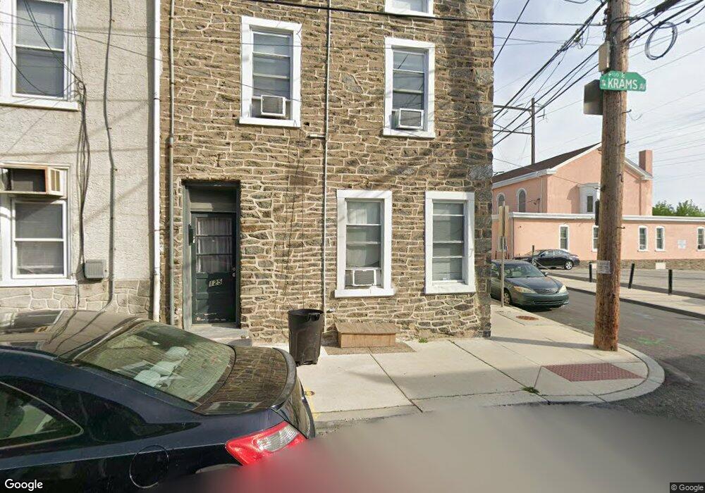
125 Krams Ave Philadelphia, PA 19127
Manayunk NeighborhoodEstimated Value: $377,000 - $493,000
6
Beds
2
Baths
2,772
Sq Ft
$157/Sq Ft
Est. Value
About This Home
This home is located at 125 Krams Ave, Philadelphia, PA 19127 and is currently estimated at $435,114, approximately $156 per square foot. 125 Krams Ave is a home located in Philadelphia County with nearby schools including White Oaks Elementary School, James Dobson Elementary School, and Roxborough High School.
Ownership History
Date
Name
Owned For
Owner Type
Purchase Details
Closed on
Mar 28, 2005
Sold by
Mcandrew John E
Bought by
Mccullough Mark
Current Estimated Value
Home Financials for this Owner
Home Financials are based on the most recent Mortgage that was taken out on this home.
Original Mortgage
$200,000
Interest Rate
5.56%
Mortgage Type
Purchase Money Mortgage
Purchase Details
Closed on
Aug 18, 1999
Sold by
Manice Alexis C
Bought by
Freeman Samuel M
Purchase Details
Closed on
Feb 18, 1999
Sold by
Rush Catherine C
Bought by
Mcandrew John E
Create a Home Valuation Report for This Property
The Home Valuation Report is an in-depth analysis detailing your home's value as well as a comparison with similar homes in the area
Home Values in the Area
Average Home Value in this Area
Purchase History
| Date | Buyer | Sale Price | Title Company |
|---|---|---|---|
| Mccullough Mark | $250,000 | -- | |
| Freeman Samuel M | $370,000 | -- | |
| Mcandrew John E | $95,000 | -- |
Source: Public Records
Mortgage History
| Date | Status | Borrower | Loan Amount |
|---|---|---|---|
| Closed | Mccullough Mark | $200,000 |
Source: Public Records
Tax History Compared to Growth
Tax History
| Year | Tax Paid | Tax Assessment Tax Assessment Total Assessment is a certain percentage of the fair market value that is determined by local assessors to be the total taxable value of land and additions on the property. | Land | Improvement |
|---|---|---|---|---|
| 2026 | $4,485 | $388,600 | $77,720 | $310,880 |
| 2025 | $4,485 | $388,600 | $77,720 | $310,880 |
| 2024 | $4,485 | $388,600 | $77,720 | $310,880 |
| 2023 | $4,485 | $320,400 | $64,080 | $256,320 |
| 2022 | $4,191 | $320,400 | $64,080 | $256,320 |
| 2021 | $4,191 | $0 | $0 | $0 |
| 2020 | $4,191 | $0 | $0 | $0 |
| 2019 | $4,120 | $0 | $0 | $0 |
| 2018 | $3,425 | $0 | $0 | $0 |
| 2017 | $3,425 | $0 | $0 | $0 |
| 2016 | $3,376 | $0 | $0 | $0 |
| 2015 | $3,279 | $0 | $0 | $0 |
| 2014 | -- | $244,700 | $34,975 | $209,725 |
| 2012 | -- | $23,840 | $3,648 | $20,192 |
Source: Public Records
Map
Nearby Homes
- 175 Krams Ave
- 4523 Riverside Way
- 4630 Umbria St
- 4506 Ritchie St
- 4584 Riverside Way
- 4586 Riverside Way
- 4521 Wilde St
- 142 Carson St
- 2 Leverington Ave Unit 24
- 2 Leverington Ave Unit 21
- 152 Carson St
- 131 Carson St
- 4419 Baker St
- 223 Dupont St
- 4664 Canton St
- 4666 Canton St
- 4413 Baker St
- 4714 Smick St
- 145 Wright St
- 116 Wright St
- 129 Krams Ave
- 4551 Baker St
- 131 Krams Ave
- 4549 Baker St
- 133 Krams Ave
- 4547 Baker St
- 4545 Baker St
- 4552 Baker St
- 135 Krams Ave
- 130 Krams Ave
- 4554 Baker St
- 4543 Baker St
- 126 Krams Ave
- 4556 Baker St
- 128 Krams Ave
- 4541 Baker St
- 130 Dupont St
- 141 Krams Ave Unit 2
- 141 Krams Ave Unit 1
- 141 Krams Ave Unit 4