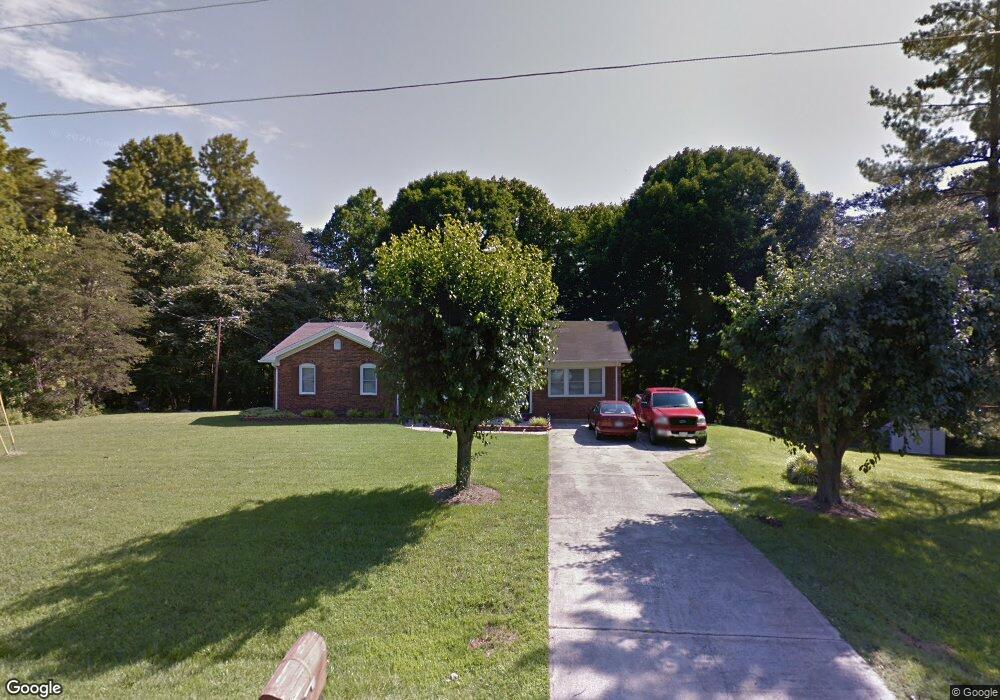
125 Lala Dr Reidsville, NC 27320
Estimated Value: $252,096 - $309,000
--
Bed
--
Bath
1,903
Sq Ft
$150/Sq Ft
Est. Value
About This Home
This home is located at 125 Lala Dr, Reidsville, NC 27320 and is currently estimated at $285,524, approximately $150 per square foot. 125 Lala Dr is a home located in Rockingham County with nearby schools including Williamsburg Elementary School, Reidsville High School, and Reidsville Middle School.
Ownership History
Date
Name
Owned For
Owner Type
Purchase Details
Closed on
Jul 3, 2019
Sold by
Metts Tonya Michelle and Robertson Tonya
Bought by
Robertson Clarence Edward
Current Estimated Value
Purchase Details
Closed on
Oct 2, 2013
Sold by
Robertson Clarence E and Robertson Tonya M
Bought by
Robertson Clarence E and Robertson Tonya M
Purchase Details
Closed on
Sep 26, 2013
Sold by
Walker Joe M and Walker Erma G
Bought by
Robertson Clarence E
Purchase Details
Closed on
Oct 26, 2011
Sold by
Slade Sandra D
Bought by
Robertson Clarence E
Home Financials for this Owner
Home Financials are based on the most recent Mortgage that was taken out on this home.
Original Mortgage
$111,734
Interest Rate
4.16%
Mortgage Type
New Conventional
Create a Home Valuation Report for This Property
The Home Valuation Report is an in-depth analysis detailing your home's value as well as a comparison with similar homes in the area
Home Values in the Area
Average Home Value in this Area
Purchase History
| Date | Buyer | Sale Price | Title Company |
|---|---|---|---|
| Robertson Clarence Edward | -- | None Available | |
| Robertson Clarence E | -- | Chicago Title Insurance Co | |
| Robertson Clarence E | $5,000 | Chicago Title Insurance Co | |
| Robertson Clarence E | $110,000 | None Available |
Source: Public Records
Mortgage History
| Date | Status | Borrower | Loan Amount |
|---|---|---|---|
| Previous Owner | Robertson Clarence E | $111,734 |
Source: Public Records
Tax History Compared to Growth
Tax History
| Year | Tax Paid | Tax Assessment Tax Assessment Total Assessment is a certain percentage of the fair market value that is determined by local assessors to be the total taxable value of land and additions on the property. | Land | Improvement |
|---|---|---|---|---|
| 2025 | $1,586 | $247,615 | $20,870 | $226,745 |
| 2024 | $1,586 | $247,615 | $20,870 | $226,745 |
| 2023 | $1,586 | $145,754 | $18,972 | $126,782 |
| 2022 | $1,144 | $145,754 | $18,972 | $126,782 |
| 2021 | $1,144 | $145,754 | $18,972 | $126,782 |
| 2020 | $1,144 | $145,754 | $18,972 | $126,782 |
| 2019 | $1,144 | $145,754 | $18,972 | $126,782 |
| 2018 | $1,072 | $136,432 | $29,835 | $106,597 |
| 2017 | $1,045 | $136,432 | $29,835 | $106,597 |
| 2015 | $1,056 | $136,432 | $29,835 | $106,597 |
| 2014 | -- | $136,432 | $29,835 | $106,597 |
Source: Public Records
Map
Nearby Homes
- 1500 Ballymena Dr
- Lot 1 Manley Farm Rd
- 247 Bobwhite Dr
- Lot 6 Cart Dr
- Lot 3 Cart Dr
- Lot 4 Cart Dr
- Lot 5 Cart Dr
- Lot 2 Cart Dr
- 0 Cart Dr
- 219 Cart Dr
- 209 Brooks Rd
- 221 Cart Dr
- 1790 - 1826 U S Highway 158 W
- 00 Walker St
- 1401 Walnut St
- 0000 Jewell Rd
- 0 Adams Rd
- 847 Walker St
- 000 Hwy 158 Hwy
- 0 Us Highway 158 Unit 1133948