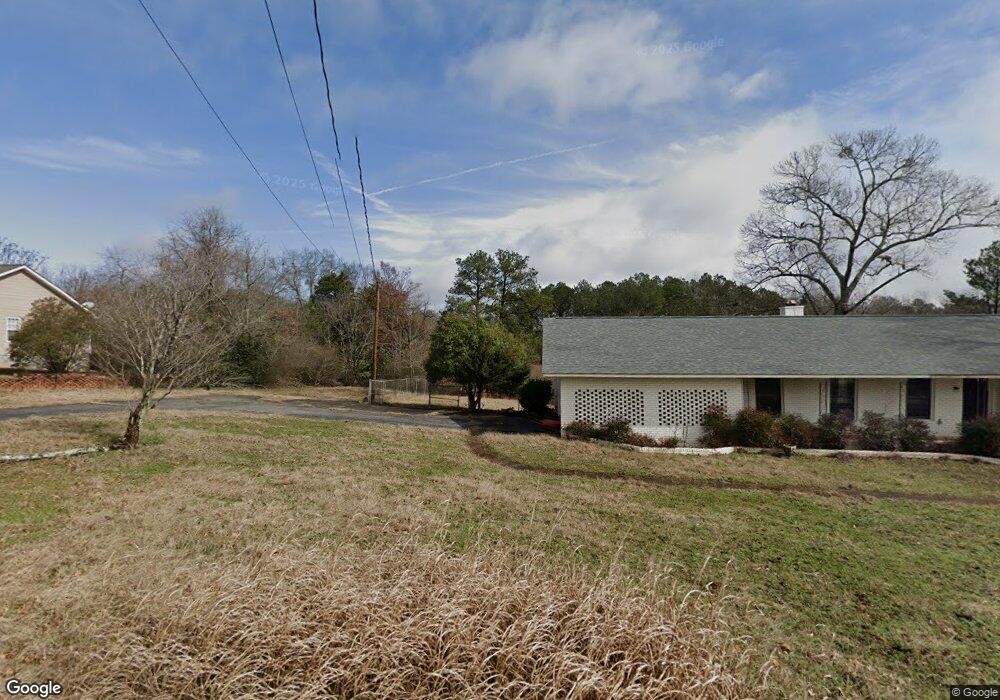
125 Leann Dr Athens, GA 30601
Estimated Value: $264,000 - $332,000
--
Bed
1
Bath
1,920
Sq Ft
$148/Sq Ft
Est. Value
About This Home
This home is located at 125 Leann Dr, Athens, GA 30601 and is currently estimated at $283,884, approximately $147 per square foot. 125 Leann Dr is a home located in Clarke County with nearby schools including Fowler Drive Elementary School, Coile Middle School, and Cedar Shoals High School.
Ownership History
Date
Name
Owned For
Owner Type
Purchase Details
Closed on
Aug 5, 2022
Sold by
Smith Quinton B
Bought by
Construction Pro Svcs Llc
Current Estimated Value
Home Financials for this Owner
Home Financials are based on the most recent Mortgage that was taken out on this home.
Original Mortgage
$244,960
Interest Rate
5.3%
Mortgage Type
Mortgage Modification
Purchase Details
Closed on
Oct 16, 1997
Sold by
Smith Albert T and Smith Paulette J
Bought by
Smith Albert T
Create a Home Valuation Report for This Property
The Home Valuation Report is an in-depth analysis detailing your home's value as well as a comparison with similar homes in the area
Home Values in the Area
Average Home Value in this Area
Purchase History
| Date | Buyer | Sale Price | Title Company |
|---|---|---|---|
| Construction Pro Svcs Llc | $138,000 | -- | |
| Smith Quinton B | -- | -- | |
| Smith Albert T | -- | -- |
Source: Public Records
Mortgage History
| Date | Status | Borrower | Loan Amount |
|---|---|---|---|
| Closed | Smith Quinton B | $244,960 |
Source: Public Records
Tax History Compared to Growth
Tax History
| Year | Tax Paid | Tax Assessment Tax Assessment Total Assessment is a certain percentage of the fair market value that is determined by local assessors to be the total taxable value of land and additions on the property. | Land | Improvement |
|---|---|---|---|---|
| 2025 | $3,359 | $108,178 | $12,000 | $96,178 |
| 2024 | $3,359 | $98,974 | $12,000 | $86,974 |
| 2023 | $2,643 | $84,560 | $10,400 | $74,160 |
| 2022 | $2,455 | $76,962 | $10,400 | $66,562 |
| 2021 | $1,759 | $52,187 | $7,200 | $44,987 |
| 2020 | $1,708 | $50,670 | $7,200 | $43,470 |
| 2019 | $1,704 | $50,202 | $7,200 | $43,002 |
| 2018 | $1,094 | $42,230 | $5,600 | $36,630 |
| 2017 | $1,015 | $39,894 | $5,600 | $34,294 |
| 2016 | $972 | $38,626 | $5,600 | $33,026 |
| 2015 | $986 | $39,044 | $5,600 | $33,444 |
| 2014 | $1,000 | $39,462 | $5,600 | $33,862 |
Source: Public Records
Map
Nearby Homes
- 2146 Danielsville Rd
- 6006 Smokey
- 110 Connelly Cir
- 185 Berry Dr
- 156 Connally Cir
- 32 Pine Lane Dr
- 145 Noketchee Dr
- 210 Hull Rd
- 0 Danielsville Rd Unit 8926755
- 0 Danielsville Rd Unit 979729
- 140 Loblolly Dr
- 121 Sweetgum Way
- 155 Ashmore Dr
- 3080 Danielsville Rd
- 0 Old Commerce Rd Unit 10617666
- 192 Sunny Hills Dr
- 336 Old Pittard Rd
- 495 Boley Dr
- 1226 Hull Rd
- 115 Leann Dr
- 2120 Danielsville Rd
- 120 Leann Dr
- 105 Leann Dr
- 130 Leann Dr
- 110 Leann Dr
- 145 Leann Dr
- 140 Leann Dr
- 103 Leann Dr
- 100 Leann Dr
- 2102 Danielsville Rd
- 150 Leann Dr
- 2110 Danielsville Rd
- 2090 Danielsville Rd
- 165 Leann Dr
- 160 Leann Dr
- 2132 Danielsville Rd
- 2112 Danielsville Rd
- 1080 Danielsville Rd
- 1405 Danielsville Rd