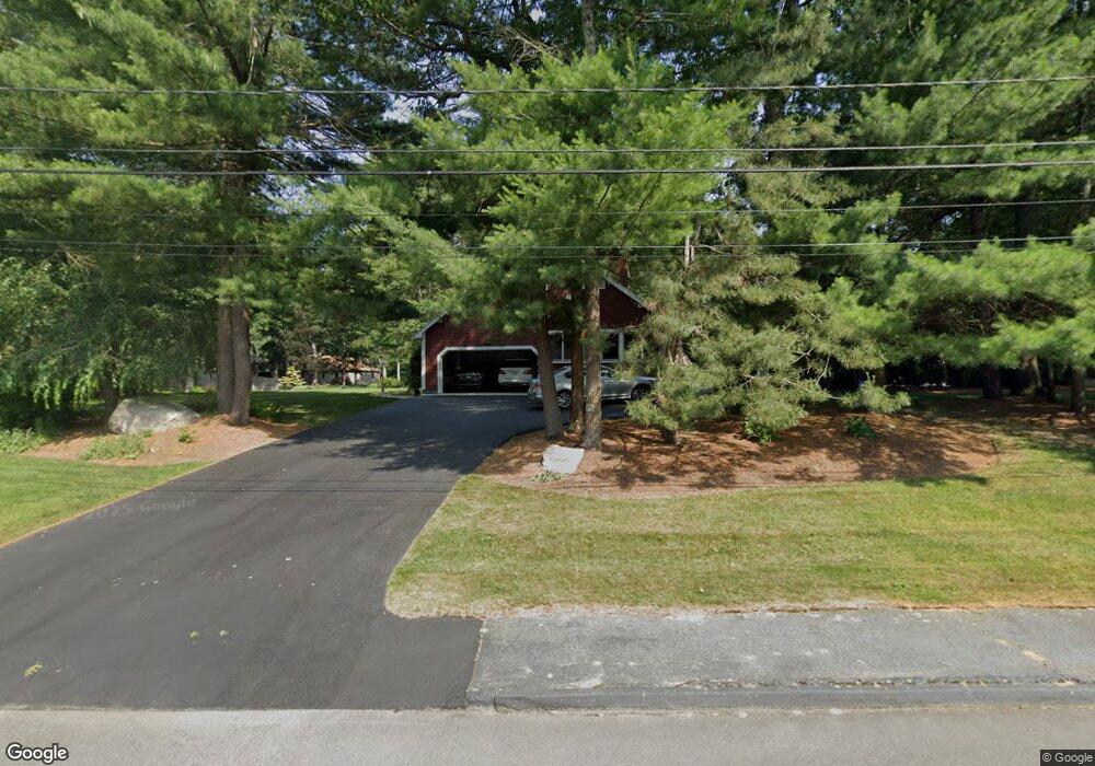
125 Lounsbury Dr Raynham, MA 02767
Estimated Value: $855,351 - $1,252,000
4
Beds
4
Baths
2,745
Sq Ft
$366/Sq Ft
Est. Value
About This Home
This home is located at 125 Lounsbury Dr, Raynham, MA 02767 and is currently estimated at $1,003,338, approximately $365 per square foot. 125 Lounsbury Dr is a home located in Bristol County with nearby schools including LaLiberte Elementary School, Merrill Elementary School, and Williams Intermediate School.
Ownership History
Date
Name
Owned For
Owner Type
Purchase Details
Closed on
Jun 3, 2025
Sold by
Raymond Carlton P and Raymond Lisa M
Bought by
Raymond
Current Estimated Value
Purchase Details
Closed on
Apr 27, 2011
Sold by
Krupa Maureen L
Bought by
Raymond Lisa M and Raymond Carlton P
Home Financials for this Owner
Home Financials are based on the most recent Mortgage that was taken out on this home.
Original Mortgage
$357,600
Interest Rate
4.76%
Mortgage Type
Purchase Money Mortgage
Purchase Details
Closed on
Mar 4, 1994
Sold by
Mulligan Brian P and Mulligan Jean M
Bought by
Krupa David E and Krupa Maureen L
Create a Home Valuation Report for This Property
The Home Valuation Report is an in-depth analysis detailing your home's value as well as a comparison with similar homes in the area
Home Values in the Area
Average Home Value in this Area
Purchase History
| Date | Buyer | Sale Price | Title Company |
|---|---|---|---|
| Raymond | -- | None Available | |
| Raymond | -- | None Available | |
| Raymond Lisa M | $447,000 | -- | |
| Raymond Lisa M | $447,000 | -- | |
| Krupa David E | $252,000 | -- | |
| Krupa David E | $252,000 | -- |
Source: Public Records
Mortgage History
| Date | Status | Borrower | Loan Amount |
|---|---|---|---|
| Previous Owner | Krupa David E | $357,600 | |
| Previous Owner | Krupa David E | $158,000 |
Source: Public Records
Tax History Compared to Growth
Tax History
| Year | Tax Paid | Tax Assessment Tax Assessment Total Assessment is a certain percentage of the fair market value that is determined by local assessors to be the total taxable value of land and additions on the property. | Land | Improvement |
|---|---|---|---|---|
| 2025 | $9,082 | $750,600 | $218,400 | $532,200 |
| 2024 | $8,987 | $723,600 | $218,400 | $505,200 |
| 2023 | $8,329 | $612,400 | $196,600 | $415,800 |
| 2022 | $8,005 | $539,800 | $178,700 | $361,100 |
| 2021 | $7,900 | $537,800 | $176,700 | $361,100 |
| 2020 | $7,665 | $531,900 | $170,800 | $361,100 |
| 2019 | $7,569 | $531,900 | $170,800 | $361,100 |
| 2018 | $7,386 | $495,700 | $166,800 | $328,900 |
| 2017 | $7,132 | $474,500 | $158,900 | $315,600 |
| 2016 | $7,030 | $469,300 | $153,700 | $315,600 |
| 2015 | $6,308 | $413,900 | $152,900 | $261,000 |
Source: Public Records
Map
Nearby Homes
- 970 N Main St
- 1037 N Main St
- 643 Center St
- 2 Maplewood Ln Unit 21-1
- 0 Maplewood Unit 21.3 73426136
- 0 Maplewood Unit 33-1 73420094
- 598 Elm St E
- 46 Sylvain St
- 73 Sherwood Ln
- 658 Broadway
- 79 Jennings Dr
- 109 Broadway
- 21 Sully Rd
- 38 Elm St E
- 100 Francine Rd
- 1 Maplewood Ln Unit 33-3
- 25 Twin Diamond Dr
- 29 Saddle Dr
- 1570 Old Pleasant St
- 520 King St
- 110 Hewitt Dr
- 102 Lounsbury Dr
- 105 Lounsbury Dr
- 120 Lounsbury Dr
- 131 Hewitt Dr
- 115 Hewitt Dr
- 94 Hewitt Dr
- 99 Hewitt Dr
- 87 Lounsbury Dr
- 86 Lounsbury Dr
- 154 Lounsbury Dr
- 171 Lounsbury Dr
- 78 Hewitt Dr
- 73 Hewitt Dr
- 170 Lounsbury Dr
- 70 Lounsbury Dr
- 71 Lounsbury Dr
- 49 Hewitt Dr
- 185 Lounsbury Dr
- 186 Lounsbury Dr