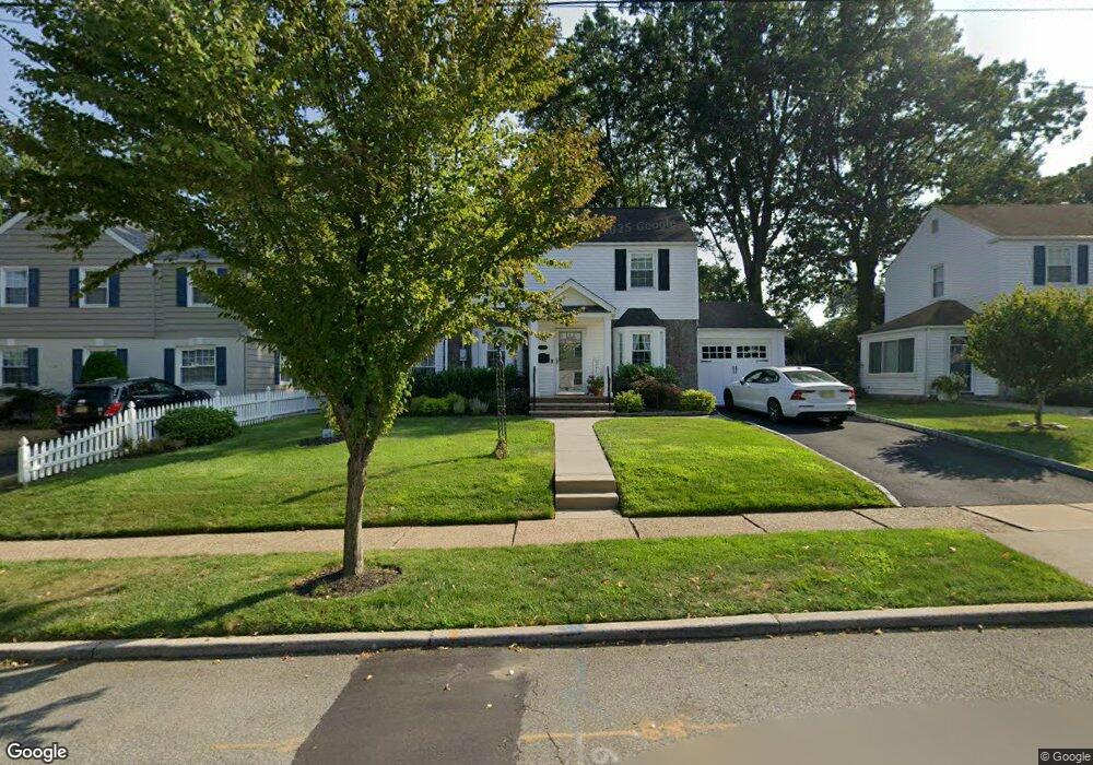
125 Manning Ave River Edge, NJ 07661
Estimated Value: $868,000 - $1,115,000
Studio
--
Bath
2,104
Sq Ft
$453/Sq Ft
Est. Value
About This Home
This home is located at 125 Manning Ave, River Edge, NJ 07661 and is currently estimated at $952,093, approximately $452 per square foot. 125 Manning Ave is a home located in Bergen County with nearby schools including Cherry Hill School, River Dell Middle School, and River Dell Regional High School.
Ownership History
Date
Name
Owned For
Owner Type
Purchase Details
Closed on
Oct 1, 2003
Sold by
Tatarian Margaret
Bought by
Papaleo Thomas and Papaleo Marie
Current Estimated Value
Home Financials for this Owner
Home Financials are based on the most recent Mortgage that was taken out on this home.
Original Mortgage
$300,000
Outstanding Balance
$138,459
Interest Rate
6.05%
Estimated Equity
$813,634
Create a Home Valuation Report for This Property
The Home Valuation Report is an in-depth analysis detailing your home's value as well as a comparison with similar homes in the area
Home Values in the Area
Average Home Value in this Area
Purchase History
We collect this data history from publicly available records. To have your information removed, we recommend requesting removal directly through your county’s website.
| Date | Buyer | Sale Price | Title Company |
|---|---|---|---|
| Papaleo Thomas | $419,000 | -- |
Source: Public Records
Mortgage History
We collect this data history from publicly available records. To have your information removed, we recommend requesting removal directly through your county’s website.
| Date | Status | Borrower | Loan Amount |
|---|---|---|---|
| Open | Papaleo Thomas | $300,000 |
Source: Public Records
Tax History
| Year | Tax Paid | Tax Assessment Tax Assessment Total Assessment is a certain percentage of the fair market value that is determined by local assessors to be the total taxable value of land and additions on the property. | Land | Improvement |
|---|---|---|---|---|
| 2025 | $17,038 | $679,400 | $345,000 | $334,400 |
| 2024 | $16,612 | $429,700 | $198,800 | $230,900 |
| 2023 | $15,899 | $429,700 | $198,800 | $230,900 |
| 2022 | $15,899 | $429,700 | $198,800 | $230,900 |
| 2021 | $15,585 | $429,700 | $198,800 | $230,900 |
| 2020 | $15,340 | $429,700 | $198,800 | $230,900 |
| 2019 | $14,902 | $429,700 | $198,800 | $230,900 |
| 2018 | $14,588 | $429,700 | $198,800 | $230,900 |
| 2017 | $14,447 | $429,700 | $198,800 | $230,900 |
| 2016 | $14,120 | $429,700 | $198,800 | $230,900 |
| 2015 | $13,823 | $429,700 | $198,800 | $230,900 |
| 2014 | $13,849 | $429,700 | $198,800 | $230,900 |
Source: Public Records
Map
Nearby Homes
- 582 Center Ave
- 172 Concord Dr
- 163 Monroe Ave
- 440 Kinderkamack Rd
- 440 Bogert Rd
- 406 Kinderkamack Rd
- 212 Monroe Ave
- 3 Elm Place
- 392 Mercer Ave
- 65 Clover Ct
- 276 Concord Dr
- 150 Howland Ave
- 255 Jefferson Ave
- 12 Gainesborough Terrace Unit 1B
- 293 Bogert Rd
- 160 Lozier Terrace
- 42 Howland Ave
- 678 Millbrook Rd
- 557 Monroe Ct
- 405 Valley Rd
- 127 Manning Ave
- 123 Manning Ave
- 121 Manning Ave
- 550 Bogert Rd
- 124 Voorhis Ave
- 122 Voorhis Ave
- 540 Bogert Rd
- 120 Voorhis Ave
- 119 Manning Ave
- 124 Manning Ave
- 118 Voorhis Ave
- 122 Manning Ave
- 126 Manning Ave
- 120 Manning Ave
- 128 Manning Ave
- 116 Voorhis Ave
- 539 Kinderkamack Rd
- 118 Manning Ave
- 545 Bogert Rd
- 560 Bogert Rd
Your Personal Tour Guide
Ask me questions while you tour the home.