Estimated Value: $291,812 - $340,000
2
Beds
3
Baths
1,940
Sq Ft
$165/Sq Ft
Est. Value
About This Home
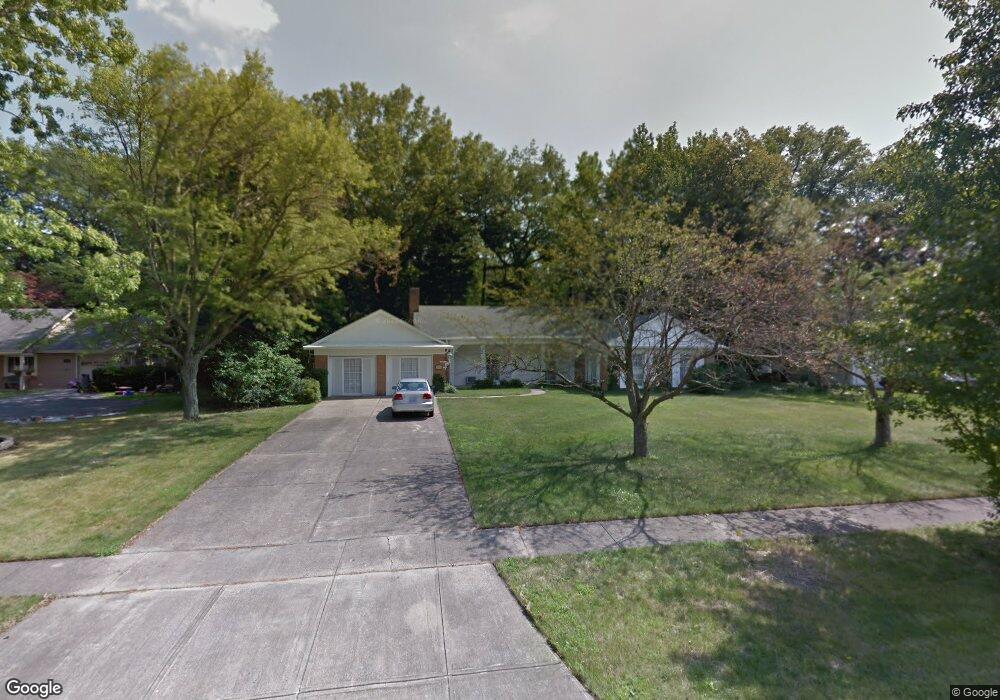
This home is located at 125 Manning Dr, Berea, OH 44017 and is currently estimated at $319,453, approximately $164 per square foot. 125 Manning Dr is a home located in Cuyahoga County with nearby schools including Grindstone Elementary School, Berea-Midpark Middle School, and Berea-Midpark High School.
Ownership History
Date
Name
Owned For
Owner Type
Purchase Details
Closed on
Sep 3, 2025
Sold by
Macpherson Lucia R and Kraus Thomas J
Bought by
Trf Enterprises Ltd
Current Estimated Value
Purchase Details
Closed on
Mar 24, 2017
Sold by
Brown Gail L and The Kenneth E Macpherson Trust
Bought by
Macpherson Lucia R
Purchase Details
Closed on
Oct 3, 2013
Sold by
Lucia Macpherson Asset Management Compan
Bought by
Macpherson Kenneth E and Kenneth E Macpherson Trust
Purchase Details
Closed on
Oct 5, 1976
Sold by
Macpherson Judith L
Bought by
Macpherson Kenneth E
Purchase Details
Closed on
Jan 1, 1975
Bought by
Macpherson Judith L
Create a Home Valuation Report for This Property
The Home Valuation Report is an in-depth analysis detailing your home's value as well as a comparison with similar homes in the area
Home Values in the Area
Average Home Value in this Area
Purchase History
| Date | Buyer | Sale Price | Title Company |
|---|---|---|---|
| Trf Enterprises Ltd | $192,000 | Maximum Title | |
| Macpherson Lucia R | -- | None Available | |
| Macpherson Kenneth E | $188,500 | Attorney | |
| Macpherson Kenneth E | -- | -- | |
| Macpherson Judith L | -- | -- |
Source: Public Records
Tax History Compared to Growth
Tax History
| Year | Tax Paid | Tax Assessment Tax Assessment Total Assessment is a certain percentage of the fair market value that is determined by local assessors to be the total taxable value of land and additions on the property. | Land | Improvement |
|---|---|---|---|---|
| 2024 | $5,990 | $103,600 | $21,455 | $82,145 |
| 2023 | $5,209 | $75,430 | $17,400 | $58,030 |
| 2022 | $5,177 | $75,430 | $17,400 | $58,030 |
| 2021 | $5,133 | $75,430 | $17,400 | $58,030 |
| 2020 | $4,903 | $63,910 | $14,740 | $49,180 |
| 2019 | $4,772 | $182,600 | $42,100 | $140,500 |
| 2018 | $4,753 | $63,910 | $14,740 | $49,180 |
| 2017 | $5,016 | $62,690 | $19,600 | $43,090 |
| 2016 | $4,979 | $62,690 | $19,600 | $43,090 |
| 2015 | $4,952 | $62,690 | $19,600 | $43,090 |
| 2014 | $4,952 | $65,980 | $20,620 | $45,360 |
Source: Public Records
Map
Nearby Homes
- 84 Sprague Rd
- 104 Whitehall Dr
- 8627 Courtland Dr
- 740 Fair St
- 148 Meadow Cir
- 9401 Pheasant Run Place
- 23 Hamilton St
- 74 Aaron St
- 8036 Fair Rd
- 243 Jananna Dr
- 19419 Fowles Rd
- 101 S Rocky River Dr Unit 401
- 8902 Lincolnshire Blvd
- 255 Fairpark Dr
- 28 Crocker St
- 47 Prospect St
- 214 Race St
- 19 Baker St
- 159 Eastland Rd
- 41 Riverside Dr