Estimated Value: $149,000 - $167,000
--
Bed
--
Bath
1,151
Sq Ft
$139/Sq Ft
Est. Value
About This Home
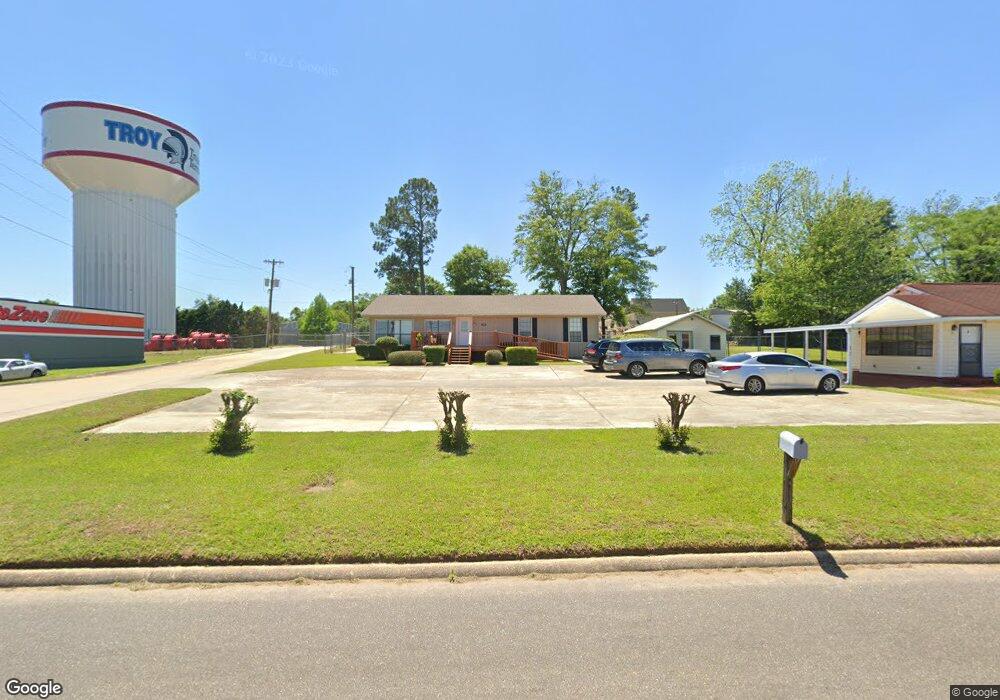
This home is located at 125 Mcneil St, Troy, AL 36079 and is currently estimated at $159,667, approximately $138 per square foot. 125 Mcneil St is a home located in Pike County with nearby schools including Troy Elementary School, Charles Henderson Middle School, and Charles Henderson High School.
Ownership History
Date
Name
Owned For
Owner Type
Purchase Details
Closed on
Sep 20, 2016
Sold by
Saunders Brain
Bought by
Mcmillian Ivey R and Owens Shawn C
Current Estimated Value
Purchase Details
Closed on
Jun 7, 2016
Sold by
Jp Morgan Chase Bank
Bought by
Saunders Brian
Purchase Details
Closed on
Apr 12, 2016
Sold by
Triniszewski Robert J
Bought by
Jp Morgan Chase Bank
Purchase Details
Closed on
Feb 15, 2013
Sold by
Brabham Shirley F and Sheppard William Robert
Bought by
Triniszewski Robert J
Home Financials for this Owner
Home Financials are based on the most recent Mortgage that was taken out on this home.
Original Mortgage
$142,857
Interest Rate
3.4%
Mortgage Type
Purchase Money Mortgage
Purchase Details
Closed on
Mar 31, 2006
Sold by
Walker Ruth and Walker Charles F
Bought by
Sheppard Bobby F
Create a Home Valuation Report for This Property
The Home Valuation Report is an in-depth analysis detailing your home's value as well as a comparison with similar homes in the area
Home Values in the Area
Average Home Value in this Area
Purchase History
| Date | Buyer | Sale Price | Title Company |
|---|---|---|---|
| Mcmillian Ivey R | $11,262,500 | -- | |
| Saunders Brian | $90,100 | None Available | |
| Jp Morgan Chase Bank | -- | None Available | |
| Triniszewski Robert J | -- | -- | |
| Sheppard Bobby F | -- | -- |
Source: Public Records
Mortgage History
| Date | Status | Borrower | Loan Amount |
|---|---|---|---|
| Previous Owner | Triniszewski Robert J | $142,857 |
Source: Public Records
Tax History Compared to Growth
Tax History
| Year | Tax Paid | Tax Assessment Tax Assessment Total Assessment is a certain percentage of the fair market value that is determined by local assessors to be the total taxable value of land and additions on the property. | Land | Improvement |
|---|---|---|---|---|
| 2025 | $512 | $15,240 | $0 | $0 |
| 2024 | $512 | $14,260 | $1,500 | $12,760 |
| 2023 | $475 | $14,420 | $0 | $0 |
| 2022 | $421 | $12,800 | $0 | $0 |
| 2021 | $388 | $11,900 | $1,500 | $10,400 |
| 2020 | $393 | $12,020 | $1,500 | $10,520 |
| 2019 | $402 | $12,260 | $1,500 | $10,760 |
| 2018 | $381 | $11,700 | $1,640 | $10,060 |
| 2017 | $368 | $11,360 | $1,500 | $9,860 |
| 2016 | $389 | $11,920 | $1,500 | $10,420 |
| 2015 | $389 | $119,110 | $0 | $0 |
| 2014 | $396 | $120,920 | $0 | $0 |
| 2013 | $865 | $116,950 | $0 | $0 |
Source: Public Records
Map
Nearby Homes
- Lot 12 State Route 87
- 204 Corman Ave
- 106 Ruth Rd
- 300 Botts Ave
- 314 Corman Ave
- 0 Botts Ave
- 123 Woodland Cir
- 205 Woodland Cir
- 000 Oak Park Dr
- 403 Ann St
- 603 Ray Ave
- 0 Oak Park Dr
- 505 Wilson Dr
- 600 Botts Ave
- 107 Sawtooth Dr
- 819& 901 Park St
- 0 Wilson Dr
- 517 Spradley Dr
- ARIA Plan at The Summit at Oak Park
- HAYDEN Plan at The Summit at Oak Park