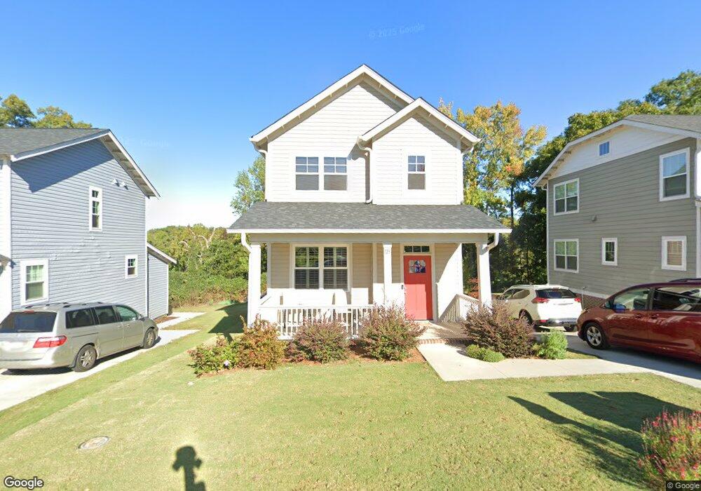
125 Mount Eustis St Greenville, SC 29607
Greenline NeighborhoodEstimated Value: $204,000 - $332,000
--
Bed
--
Bath
--
Sq Ft
3,920
Sq Ft Lot
About This Home
This home is located at 125 Mount Eustis St, Greenville, SC 29607 and is currently estimated at $293,229. 125 Mount Eustis St is a home with nearby schools including East North Street Academy, Greenville Middle Academy, and Eastside High School.
Ownership History
Date
Name
Owned For
Owner Type
Purchase Details
Closed on
Jan 5, 2018
Sold by
Red Clay Investors Llc
Bought by
Nagelmakers Theodorus P and Nagelmakers Elaine D
Current Estimated Value
Home Financials for this Owner
Home Financials are based on the most recent Mortgage that was taken out on this home.
Original Mortgage
$144,530
Outstanding Balance
$121,904
Interest Rate
3.92%
Mortgage Type
New Conventional
Estimated Equity
$171,325
Purchase Details
Closed on
Aug 2, 2017
Sold by
Genesis Homes A South Carolina Eleemosyn
Bought by
Red Clay Investors Llc
Create a Home Valuation Report for This Property
The Home Valuation Report is an in-depth analysis detailing your home's value as well as a comparison with similar homes in the area
Home Values in the Area
Average Home Value in this Area
Purchase History
| Date | Buyer | Sale Price | Title Company |
|---|---|---|---|
| Nagelmakers Theodorus P | $149,000 | None Available | |
| Red Clay Investors Llc | $10,000 | None Available |
Source: Public Records
Mortgage History
| Date | Status | Borrower | Loan Amount |
|---|---|---|---|
| Open | Nagelmakers Theodorus P | $144,530 |
Source: Public Records
Tax History Compared to Growth
Tax History
| Year | Tax Paid | Tax Assessment Tax Assessment Total Assessment is a certain percentage of the fair market value that is determined by local assessors to be the total taxable value of land and additions on the property. | Land | Improvement |
|---|---|---|---|---|
| 2024 | $896 | $6,240 | $390 | $5,850 |
| 2023 | $896 | $6,240 | $390 | $5,850 |
| 2022 | $876 | $6,240 | $390 | $5,850 |
| 2021 | $877 | $6,240 | $390 | $5,850 |
| 2020 | $864 | $5,930 | $380 | $5,550 |
| 2019 | $865 | $5,930 | $380 | $5,550 |
| 2018 | $863 | $5,930 | $380 | $5,550 |
| 2017 | $57 | $0 | $0 | $0 |
| 2016 | $233 | $9,570 | $9,570 | $0 |
Source: Public Records
Map
Nearby Homes
- 216 Spartanburg St
- 00 Wade Hampton Blvd
- 11 Mount Zion Ave
- 261 Mohawk Dr
- 43 Kirkwood Ln
- 00 Mohawk Dr Unit 49-J/0098
- 0 Mohawk Dr
- 706 Bennett St Unit A
- 0 E Stone Ave Unit 1521172
- 7 Railroad St
- 101 Ashford Ave
- 14 Nordic Ln
- 206 E Stone Ave
- 16 Nordic Ln
- 18 Nordic Ln
- 20 Nordic Ln
- 17 Garraux St
- 9 Kenwood Ln
- 49 Itasca Dr
- 309 Summit Dr
- 123 Mount Eustis St
- 127 Mount Eustis St
- 126 Mt Eustis
- 121 Mount Eustis St
- 128 Mount Eustis St
- 112 Mount Eustis St
- 122 Mount Eustis St
- 120 Mount Eustis St
- 124 Mount Eustis St
- 116 Mount Eustis St
- 119 Mount Eustis St
- 117 Mount Eustis St
- 118 Mount Eustis St
- 126 Mount Eustis St
- 130 Mount Eustis St
- 114 Mount Eustis St
- 8 Overview Dr
- 110 Mount Eustis St
- 1 Gay St
- 132 Mount Eustis St