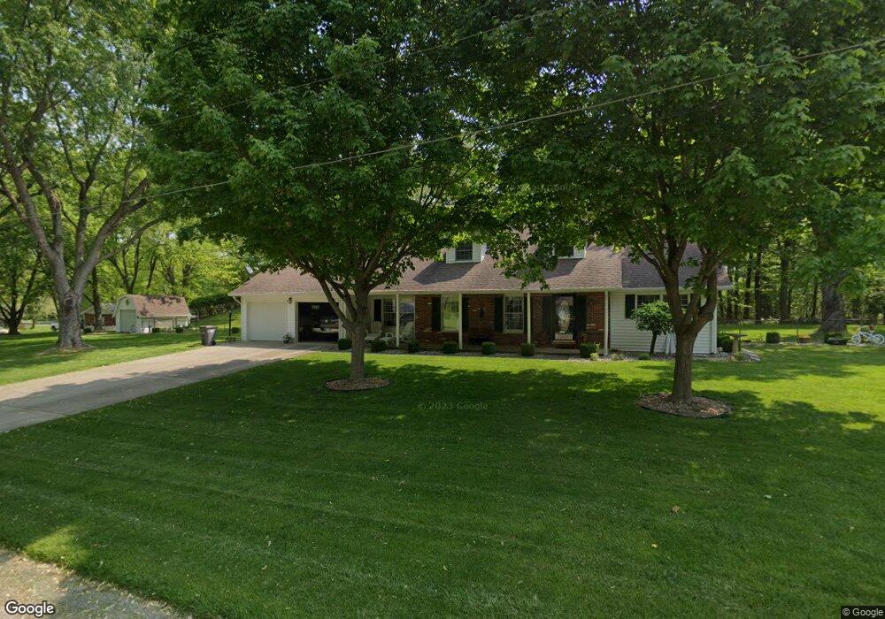
125 N 055 W Lagrange, IN 46761
Estimated Value: $169,000 - $184,000
2
Beds
1
Bath
1,064
Sq Ft
$163/Sq Ft
Est. Value
About This Home
This home is located at 125 N 055 W, Lagrange, IN 46761 and is currently estimated at $173,709, approximately $163 per square foot. 125 N 055 W is a home located in LaGrange County with nearby schools including Lakeland Jr/Sr High School, Southeast Clay School, and Countryside School.
Ownership History
Date
Name
Owned For
Owner Type
Purchase Details
Closed on
Nov 30, 2022
Sold by
Long Donald D
Bought by
Dalton Brooke
Current Estimated Value
Home Financials for this Owner
Home Financials are based on the most recent Mortgage that was taken out on this home.
Original Mortgage
$142,500
Outstanding Balance
$138,224
Interest Rate
6.95%
Mortgage Type
New Conventional
Estimated Equity
$35,485
Purchase Details
Closed on
Aug 6, 2022
Sold by
Dishong Angela K
Bought by
Long Donald D and Long Joseph D
Create a Home Valuation Report for This Property
The Home Valuation Report is an in-depth analysis detailing your home's value as well as a comparison with similar homes in the area
Home Values in the Area
Average Home Value in this Area
Purchase History
| Date | Buyer | Sale Price | Title Company |
|---|---|---|---|
| Dalton Brooke | $150,000 | -- | |
| Long Donald D | -- | Eberhard Weimer & Glick Pc |
Source: Public Records
Mortgage History
| Date | Status | Borrower | Loan Amount |
|---|---|---|---|
| Open | Dalton Brooke | $142,500 |
Source: Public Records
Tax History
| Year | Tax Paid | Tax Assessment Tax Assessment Total Assessment is a certain percentage of the fair market value that is determined by local assessors to be the total taxable value of land and additions on the property. | Land | Improvement |
|---|---|---|---|---|
| 2024 | $1,156 | $143,400 | $16,100 | $127,300 |
| 2023 | $1,018 | $139,200 | $15,500 | $123,700 |
| 2022 | $388 | $78,900 | $13,500 | $65,400 |
| 2021 | $1,337 | $66,800 | $10,400 | $56,400 |
| 2020 | $1,301 | $65,000 | $10,100 | $54,900 |
| 2019 | $1,203 | $60,100 | $10,100 | $50,000 |
| 2018 | $1,203 | $60,100 | $10,100 | $50,000 |
| 2017 | $266 | $59,200 | $10,100 | $49,100 |
| 2016 | $232 | $52,600 | $10,100 | $42,500 |
| 2014 | $232 | $54,400 | $10,100 | $44,300 |
| 2013 | $232 | $54,900 | $10,100 | $44,800 |
Source: Public Records
Map
Nearby Homes
Your Personal Tour Guide
Ask me questions while you tour the home.