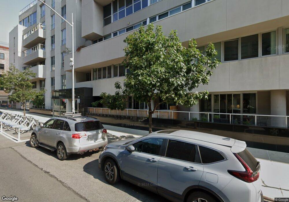
125 N 10th St, Unit NPHD Brooklyn, NY 11249
Williamsburg NeighborhoodEstimated Value: $1,869,000 - $2,326,000
3
Beds
--
Bath
1,399
Sq Ft
$1,450/Sq Ft
Est. Value
About This Home
This home is located at 125 N 10th St Unit NPHD, Brooklyn, NY 11249 and is currently estimated at $2,029,183, approximately $1,450 per square foot. 125 N 10th St Unit NPHD is a home located in Kings County with nearby schools including P.S. 17 Henry D Woodworth.
Ownership History
Date
Name
Owned For
Owner Type
Purchase Details
Closed on
Jan 21, 2013
Sold by
Tait Andrea N and Tait Steven
Bought by
Mitchell Henry
Current Estimated Value
Purchase Details
Closed on
May 24, 2010
Sold by
125North10 Llc
Bought by
Tait Andrea N and Tait Steven J
Home Financials for this Owner
Home Financials are based on the most recent Mortgage that was taken out on this home.
Original Mortgage
$687,000
Interest Rate
5.12%
Mortgage Type
Purchase Money Mortgage
Create a Home Valuation Report for This Property
The Home Valuation Report is an in-depth analysis detailing your home's value as well as a comparison with similar homes in the area
Home Values in the Area
Average Home Value in this Area
Purchase History
| Date | Buyer | Sale Price | Title Company |
|---|---|---|---|
| Mitchell Henry | $1,600,000 | -- | |
| Mitchell Henry | $1,600,000 | -- | |
| Tait Andrea N | $1,165,896 | -- | |
| Tait Andrea N | $1,165,896 | -- |
Source: Public Records
Mortgage History
| Date | Status | Borrower | Loan Amount |
|---|---|---|---|
| Previous Owner | Tait Andrea N | $687,000 |
Source: Public Records
Tax History Compared to Growth
Tax History
| Year | Tax Paid | Tax Assessment Tax Assessment Total Assessment is a certain percentage of the fair market value that is determined by local assessors to be the total taxable value of land and additions on the property. | Land | Improvement |
|---|---|---|---|---|
| 2025 | $17,949 | $168,200 | $11,560 | $156,640 |
| 2024 | $17,949 | $162,012 | $11,424 | $150,588 |
| 2023 | $13,143 | $153,057 | $11,287 | $141,770 |
| 2022 | $8,993 | $147,229 | $11,158 | $136,071 |
| 2021 | $5,552 | $119,792 | $11,158 | $108,634 |
| 2020 | $1,360 | $135,772 | $11,158 | $124,614 |
| 2019 | $497 | $108,879 | $11,158 | $97,721 |
| 2018 | $501 | $87,715 | $11,158 | $76,557 |
| 2017 | $502 | $84,042 | $11,159 | $72,883 |
| 2016 | $508 | $68,585 | $11,158 | $57,427 |
| 2015 | $397 | $62,823 | $11,158 | $51,665 |
| 2014 | $397 | $37,036 | $11,158 | $25,878 |
Source: Public Records
About This Building
Map
Nearby Homes
- 125 N 10th St Unit S5G
- 125 N 10th St Unit N2D
- 70 Berry St Unit 6D
- 55 Berry St Unit 4F
- 55 Berry St Unit 4D
- 152 N 9th St Unit 1R
- 152 N 9th St Unit 1R
- 131 Bedford Ave Unit 3
- 139 N 8th St
- 181 N 8th St
- 510 Driggs Ave Unit 5-H
- 171 N 7th St Unit 3B
- 76 N 8th St Unit PH
- 214 N 11th St Unit 1LG
- 214 N 11th St Unit 3V
- 214 N 11th St Unit 1X
- 214 N 11th St Unit 5R
- 215 N 10th St Unit 4-F
- 217 N 11th St Unit 1
- 15 Roebling St Unit 2B
- 125 N 10th St
- 125 N 10th St Unit NORTH5B
- 125 N 10th St Unit NPHC
- 125 N 10th St Unit NPHB
- 125 N 10th St Unit NPHA
- 125 N 10th St Unit N5F
- 125 N 10th St Unit N5D
- 125 N 10th St Unit N5C
- 125 N 10th St Unit N5B
- 125 N 10th St Unit N5A
- 125 N 10th St Unit N4F
- 125 N 10th St Unit N4E
- 125 N 10th St Unit N4D
- 125 N 10th St Unit N4C
- 125 N 10th St Unit N4B
- 125 N 10th St Unit N4A
- 125 N 10th St Unit N3F
- 125 N 10th St Unit N3E
- 125 N 10th St Unit N3D