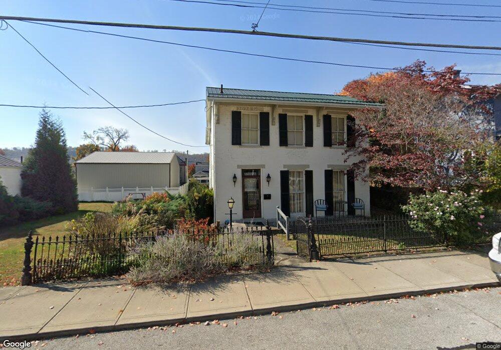
125 N 2nd St Ripley, OH 45167
Estimated Value: $220,000 - $300,000
4
Beds
3
Baths
4,016
Sq Ft
$61/Sq Ft
Est. Value
About This Home
This home is located at 125 N 2nd St, Ripley, OH 45167 and is currently estimated at $244,255, approximately $60 per square foot. 125 N 2nd St is a home located in Brown County with nearby schools including Ripley Union Lewis Huntington Elementary School, Ripley Union Lewis Huntington Middle School, and Ripley-Union-Lewis-Huntington High School.
Ownership History
Date
Name
Owned For
Owner Type
Purchase Details
Closed on
Jul 14, 2020
Sold by
Bennett Elizabeth and Williams Susan R
Bought by
Thirtyacre Gregory H and Thirtyacre Ashley E
Current Estimated Value
Home Financials for this Owner
Home Financials are based on the most recent Mortgage that was taken out on this home.
Original Mortgage
$126,000
Outstanding Balance
$111,936
Interest Rate
3.2%
Mortgage Type
New Conventional
Estimated Equity
$132,319
Purchase Details
Closed on
Sep 13, 2005
Sold by
Estate Of Robert A Williams
Bought by
Williams Susan R
Create a Home Valuation Report for This Property
The Home Valuation Report is an in-depth analysis detailing your home's value as well as a comparison with similar homes in the area
Home Values in the Area
Average Home Value in this Area
Purchase History
| Date | Buyer | Sale Price | Title Company |
|---|---|---|---|
| Thirtyacre Gregory H | $140,000 | Technetitle | |
| Williams Susan R | -- | -- |
Source: Public Records
Mortgage History
| Date | Status | Borrower | Loan Amount |
|---|---|---|---|
| Open | Thirtyacre Gregory H | $126,000 |
Source: Public Records
Tax History Compared to Growth
Tax History
| Year | Tax Paid | Tax Assessment Tax Assessment Total Assessment is a certain percentage of the fair market value that is determined by local assessors to be the total taxable value of land and additions on the property. | Land | Improvement |
|---|---|---|---|---|
| 2024 | $1,884 | $57,360 | $4,820 | $52,540 |
| 2023 | $1,884 | $50,290 | $7,250 | $43,040 |
| 2022 | $1,853 | $50,290 | $7,250 | $43,040 |
| 2021 | $1,836 | $50,290 | $7,250 | $43,040 |
| 2020 | $1,306 | $43,730 | $6,300 | $37,430 |
| 2019 | $649 | $43,730 | $6,300 | $37,430 |
| 2018 | $1,286 | $43,730 | $6,300 | $37,430 |
| 2017 | $845 | $31,140 | $6,930 | $24,210 |
| 2016 | $844 | $31,140 | $6,930 | $24,210 |
| 2015 | $744 | $28,920 | $4,710 | $24,210 |
| 2014 | $744 | $28,490 | $4,280 | $24,210 |
| 2013 | $692 | $28,490 | $4,280 | $24,210 |
Source: Public Records
Map
Nearby Homes
- 220 Main St
- 45 Main St
- 610 N Second St
- 316 Circle Dr
- 402 Circle Dr
- 633 Robins Way
- 800 Catherine St
- 3635 Circle Dr
- 4381 E Us Highway 52
- 65 Governor St
- 1016 Elizabeth St
- 1205 Pearl St
- 5205 U S 52
- 3111 Lees Creek Rd
- 3179 Stephenson Rd
- 2028 Lucretia St
- 5796 Mary Ingles Hwy
- 2053 Johnson St
- 5050 U S 52
- 3150 Dover Minerva Rd