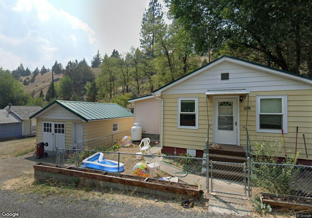
125 N Humbolt St Canyon City, OR 97820
Estimated Value: $243,000 - $323,660
2
Beds
2
Baths
1,107
Sq Ft
$263/Sq Ft
Est. Value
About This Home
This home is located at 125 N Humbolt St, Canyon City, OR 97820 and is currently estimated at $291,665, approximately $263 per square foot. 125 N Humbolt St is a home located in Grant County with nearby schools including Grant Union Junior/Senior High School.
Ownership History
Date
Name
Owned For
Owner Type
Purchase Details
Closed on
Aug 3, 2016
Sold by
Labhart Chris B and Labhart Christopher B
Bought by
Jacobson Zion W
Current Estimated Value
Purchase Details
Closed on
Oct 9, 2013
Sold by
Wall Gale
Bought by
Labhart Chris B and Labhart Kristine
Home Financials for this Owner
Home Financials are based on the most recent Mortgage that was taken out on this home.
Original Mortgage
$75,000
Interest Rate
4.49%
Mortgage Type
New Conventional
Create a Home Valuation Report for This Property
The Home Valuation Report is an in-depth analysis detailing your home's value as well as a comparison with similar homes in the area
Home Values in the Area
Average Home Value in this Area
Purchase History
| Date | Buyer | Sale Price | Title Company |
|---|---|---|---|
| Jacobson Zion W | $130,000 | None Available | |
| Labhart Chris B | $100,000 | None Available |
Source: Public Records
Mortgage History
| Date | Status | Borrower | Loan Amount |
|---|---|---|---|
| Previous Owner | Labhart Chris B | $75,000 |
Source: Public Records
Tax History Compared to Growth
Tax History
| Year | Tax Paid | Tax Assessment Tax Assessment Total Assessment is a certain percentage of the fair market value that is determined by local assessors to be the total taxable value of land and additions on the property. | Land | Improvement |
|---|---|---|---|---|
| 2024 | $2,987 | $189,953 | $40,647 | $149,306 |
| 2023 | $2,900 | $184,421 | $39,465 | $144,956 |
| 2022 | $2,816 | $179,050 | $38,313 | $140,737 |
| 2021 | $2,734 | $173,835 | $37,441 | $136,394 |
| 2020 | $2,022 | $119,627 | $36,354 | $83,273 |
| 2019 | $1,964 | $116,143 | $37,965 | $78,178 |
| 2018 | $1,952 | $112,761 | $36,865 | $75,896 |
| 2017 | $1,963 | $109,477 | $35,790 | $73,687 |
| 2016 | $1,920 | $106,289 | $43,082 | $63,207 |
| 2015 | $1,565 | $83,528 | $16,489 | $67,039 |
| 2014 | $1,565 | $83,528 | $16,489 | $67,039 |
| 2013 | $1,482 | $81,096 | $21,209 | $59,887 |
Source: Public Records
Map
Nearby Homes
- 1500 Elk View Dr
- 2709 Elk View Dr
- 2700 Elkview Dr
- 216 Elkview Dr
- 265 Elk View Dr
- 4008 Patterson Dr
- 4035 Patterson Dr
- 206 S Washington St
- 0 Elkview Dr Unit 22158071
- 0 Elkview Dr Unit 24255395
- 0 Elkview Dr Unit 195119069
- 0 Elkview Dr Unit 362870233
- 0 Elkview Dr Unit 24441871
- 217 Elkview Dr
- 204 Adam Dr
- 107 Rebel Hill Rd
- 0 Adam Rd Unit 201410621
- 0 Adam Rd Unit 14393351
- 26113 W Bench Rd
- 60625 Three Point Rd
- 127 N Humbolt St
- 115 N Humbolt St
- 129 N Humbolt St
- 24036 U S 395
- 111 N Humbolt St
- 119 N Clark St
- 131 N Humbolt St
- 101 Portal Ln
- 124 Clark St
- 115 N Clark St
- 31367 Clark Creek
- 122 N Clark St
- 120 N Clark St
- 203 N Humbolt St
- 109 N Humbolt St
- 200 N Humbolt St
- 124 N Clark
- 116 N Clark St
- 232 Elkview Dr
- 232 Elk View Dr