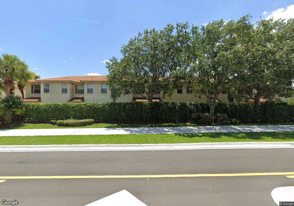
125 N Longport Cir Unit 1D Delray Beach, FL 33444
Downtown Delray Beach NeighborhoodEstimated Value: $426,369 - $466,000
3
Beds
3
Baths
1,674
Sq Ft
$266/Sq Ft
Est. Value
About This Home
This home is located at 125 N Longport Cir Unit 1D, Delray Beach, FL 33444 and is currently estimated at $445,092, approximately $265 per square foot. 125 N Longport Cir Unit 1D is a home located in Palm Beach County with nearby schools including Pine Grove Elementary School, Carver Community Middle School, and Atlantic High School.
Ownership History
Date
Name
Owned For
Owner Type
Purchase Details
Closed on
Dec 18, 2006
Sold by
Lennar Homes Inc
Bought by
Kinsman Jonathan P
Current Estimated Value
Home Financials for this Owner
Home Financials are based on the most recent Mortgage that was taken out on this home.
Original Mortgage
$246,990
Outstanding Balance
$166,890
Interest Rate
9%
Mortgage Type
Balloon
Estimated Equity
$278,202
Create a Home Valuation Report for This Property
The Home Valuation Report is an in-depth analysis detailing your home's value as well as a comparison with similar homes in the area
Home Values in the Area
Average Home Value in this Area
Purchase History
| Date | Buyer | Sale Price | Title Company |
|---|---|---|---|
| Kinsman Jonathan P | $259,990 | North American Title Company |
Source: Public Records
Mortgage History
| Date | Status | Borrower | Loan Amount |
|---|---|---|---|
| Open | Kinsman Jonathan P | $246,990 |
Source: Public Records
Tax History Compared to Growth
Tax History
| Year | Tax Paid | Tax Assessment Tax Assessment Total Assessment is a certain percentage of the fair market value that is determined by local assessors to be the total taxable value of land and additions on the property. | Land | Improvement |
|---|---|---|---|---|
| 2025 | $5,962 | $314,782 | -- | -- |
| 2024 | $5,962 | $286,165 | -- | -- |
| 2023 | $5,791 | $260,150 | $0 | $0 |
| 2022 | $5,076 | $236,500 | $0 | $0 |
| 2021 | $4,480 | $215,000 | $0 | $215,000 |
| 2020 | $4,271 | $205,000 | $0 | $205,000 |
| 2019 | $3,938 | $186,000 | $0 | $186,000 |
| 2018 | $3,630 | $186,000 | $0 | $186,000 |
| 2017 | $3,493 | $186,000 | $0 | $0 |
| 2016 | $3,279 | $137,826 | $0 | $0 |
| 2015 | $3,041 | $125,296 | $0 | $0 |
| 2014 | $2,799 | $113,905 | $0 | $0 |
Source: Public Records
Map
Nearby Homes
- 134 SW 10th Ave
- 221 NE 10th St
- 106 S Longport Cir Unit 14H
- 1015 Ventnor Ave Unit 3E
- 902 S Swinton Ave
- 191 Sterling Ave
- 1000 Old Dixie Hwy
- 122 SW 8th Ave
- 301 Southridge Rd
- 821 SW 4th Ave
- 107 Central Ave
- 517 SW 10th St
- 910 SE 3rd Ave
- 1030 W Heritage Club Cir
- 2315 Zeder Ave
- 2311 Zeder Ave
- 619 SW 10th St
- 826 SE 4th Ave
- 18 SW 6th St
- 2291 Linton Ridge Cir Unit B4
- 125 N Longport Cir
- 125 N Longport Cir Unit 1A
- 125 N Longport Cir Unit 1F
- 125 N Longport Cir Unit 1E
- 125 N Longport Cir Unit 1C
- 125 N Longport Cir Unit 1B
- 125 N Longport 1d Cir N Unit 1d
- 130 SW 10th Ave
- 118 SW 10th Ave
- 138 SW 10th Ave Unit A
- 138 SW 10th Ave
- 142 SW 10th Ave
- 116 SW 10th St
- 118 N Longport Cir Unit 4C
- 118 N Longport Cir Unit 4B
- 118 N Longport Cir Unit D1
- 118 N Longport Cir Unit D2
- 118 N Longport Cir Unit A1
- 118 N Longport Cir Unit A2
- 1005 Mango Dr