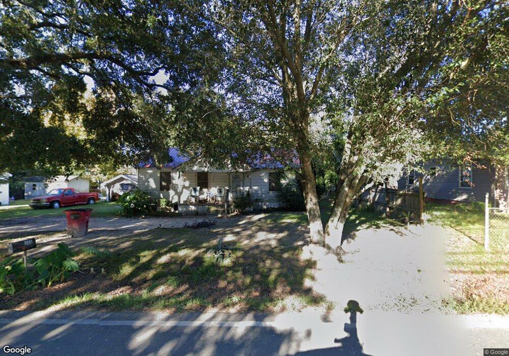
125 N Williams St Hazlehurst, GA 31539
Estimated Value: $52,000 - $78,000
2
Beds
1
Bath
906
Sq Ft
$67/Sq Ft
Est. Value
About This Home
This home is located at 125 N Williams St, Hazlehurst, GA 31539 and is currently estimated at $60,506, approximately $66 per square foot. 125 N Williams St is a home with nearby schools including Jeff Davis Primary School, Jeff Davis Elementary School, and Jeff Davis Middle School.
Ownership History
Date
Name
Owned For
Owner Type
Purchase Details
Closed on
Jun 10, 2022
Sold by
Whr Llc
Bought by
Planes Investments Llc
Current Estimated Value
Purchase Details
Closed on
Sep 7, 2017
Sold by
Williamson Robert E
Bought by
Whr Llc
Purchase Details
Closed on
Apr 14, 2008
Sold by
East Roger D
Bought by
Williamson Rogert E
Purchase Details
Closed on
Jul 6, 1998
Bought by
East Roger D & Regina B
Purchase Details
Closed on
Mar 20, 1995
Bought by
Strickland Darrell E
Purchase Details
Closed on
Jan 1, 1984
Bought by
Triple H Specialty Co
Create a Home Valuation Report for This Property
The Home Valuation Report is an in-depth analysis detailing your home's value as well as a comparison with similar homes in the area
Home Values in the Area
Average Home Value in this Area
Purchase History
| Date | Buyer | Sale Price | Title Company |
|---|---|---|---|
| Planes Investments Llc | $875,000 | -- | |
| Whr Llc | $20,000 | -- | |
| Williamson Rogert E | $21,000 | -- | |
| East Roger D & Regina B | $17,500 | -- | |
| Strickland Darrell E | $16,500 | -- | |
| Triple H Specialty Co | -- | -- |
Source: Public Records
Tax History Compared to Growth
Tax History
| Year | Tax Paid | Tax Assessment Tax Assessment Total Assessment is a certain percentage of the fair market value that is determined by local assessors to be the total taxable value of land and additions on the property. | Land | Improvement |
|---|---|---|---|---|
| 2024 | $543 | $14,520 | $2,120 | $12,400 |
| 2023 | $317 | $8,492 | $2,130 | $6,362 |
| 2022 | $317 | $8,492 | $2,130 | $6,362 |
| 2021 | $317 | $8,492 | $2,130 | $6,362 |
| 2020 | $317 | $8,492 | $2,130 | $6,362 |
| 2019 | $317 | $8,492 | $2,130 | $6,362 |
| 2018 | $299 | $8,492 | $2,130 | $6,362 |
| 2017 | $298 | $10,325 | $2,130 | $8,195 |
| 2016 | $293 | $10,325 | $2,130 | $8,195 |
| 2015 | -- | $10,325 | $2,130 | $8,195 |
| 2014 | -- | $9,800 | $2,130 | $7,671 |
Source: Public Records
Map
Nearby Homes
- 104 N Tallahassee St
- 142 N Tallahassee St
- 00 N Tallahassee St
- 19 Martin Luther King jr Blvd
- 17 Young St
- 95 E Plum St
- 39 N Tallahassee St
- 20 W Sycamore St
- 21 Pine St
- 4 Lakeside Dr
- 73 Latimer St
- 116 Walton Way
- 9 Kersey St
- 44 Kersey St
- 54 Walton Way
- 45 Elton St
- 6 Lynnwood Dr
- 0 Charles Rogers Blvd
- 58 Currie St
- 00 Pat Dixon St & Charles Rogers Blvd
- 127 N Williams St
- 121 N Williams St
- 117 N Williams St
- 129 N Williams St
- 124 N Williams St
- 126 N Williams St
- 122 N Williams St
- 120 N Williams St
- 132 N Williams St
- 130 N Williams St
- 116 N Williams St
- 139 N Williams St
- 136 N Williams St
- 35 W Plum St Unit 1
- 35 W Plum St
- 112 N Williams St
- 21 W Plum St
- 37 W Plum St
- 41 W Plum St
- 19 W Plum St