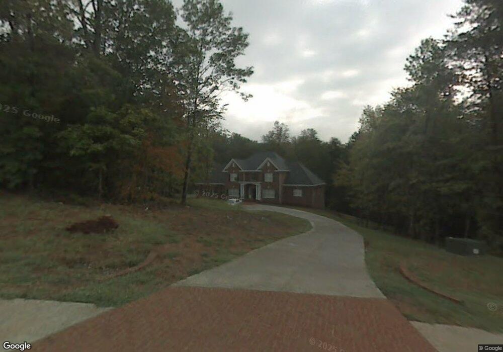
125 Nanzetta Way Lewisville, NC 27023
Estimated Value: $1,072,524 - $2,346,000
4
Beds
4
Baths
4,185
Sq Ft
$359/Sq Ft
Est. Value
About This Home
This home is located at 125 Nanzetta Way, Lewisville, NC 27023 and is currently estimated at $1,500,841, approximately $358 per square foot. 125 Nanzetta Way is a home located in Forsyth County with nearby schools including Lewisville Elementary School, Meadowlark Middle School, and West Forsyth High.
Ownership History
Date
Name
Owned For
Owner Type
Purchase Details
Closed on
Jul 6, 2005
Sold by
Nanzetta Farm Co Llc
Bought by
Homes By Jonathan Lee Inc
Current Estimated Value
Purchase Details
Closed on
May 17, 2005
Sold by
Nanzetta Farm Co Llc
Bought by
Hennis Jeffrey S and Hennis Anne R
Purchase Details
Closed on
Apr 10, 2002
Sold by
Yates Joann M and Yates Bryan D
Bought by
Nanzetta Farm Company Llc
Purchase Details
Closed on
Dec 8, 1999
Sold by
Nanzetta Farm Company Llc
Bought by
Yates Joann M
Create a Home Valuation Report for This Property
The Home Valuation Report is an in-depth analysis detailing your home's value as well as a comparison with similar homes in the area
Home Values in the Area
Average Home Value in this Area
Purchase History
| Date | Buyer | Sale Price | Title Company |
|---|---|---|---|
| Homes By Jonathan Lee Inc | $119,500 | -- | |
| Hennis Jeffrey S | $114,500 | -- | |
| Nanzetta Farm Company Llc | $95,000 | -- | |
| Yates Joann M | $95,000 | -- |
Source: Public Records
Tax History Compared to Growth
Tax History
| Year | Tax Paid | Tax Assessment Tax Assessment Total Assessment is a certain percentage of the fair market value that is determined by local assessors to be the total taxable value of land and additions on the property. | Land | Improvement |
|---|---|---|---|---|
| 2025 | $5,382 | $1,134,700 | $214,500 | $920,200 |
| 2024 | $5,347 | $697,400 | $111,200 | $586,200 |
| 2023 | $5,347 | $697,400 | $111,200 | $586,200 |
| 2022 | $5,347 | $697,400 | $111,200 | $586,200 |
| 2021 | $5,312 | $697,400 | $111,200 | $586,200 |
| 2020 | $6,144 | $739,500 | $111,200 | $628,300 |
| 2019 | $6,218 | $739,500 | $111,200 | $628,300 |
| 2018 | $5,969 | $739,500 | $111,200 | $628,300 |
| 2016 | $5,587 | $688,940 | $102,600 | $586,340 |
| 2015 | $5,587 | $688,940 | $102,600 | $586,340 |
| 2014 | $5,475 | $688,940 | $102,600 | $586,340 |
Source: Public Records
Map
Nearby Homes
- 8265 Shallowford Rd
- 937 Montrachet Ct
- 834 Montrachet Ct
- 814 Montrachet Ct
- 0 Hauser Rd
- Roller Mill Plan at Montrachet
- Roller Mill II Plan at Montrachet
- Oak Crest Plan at Montrachet
- Heritage Bridge Plan at Montrachet
- 770 Dalton Rd
- 1099 Cresthaven Rd
- 1287 Creek Knoll Dr
- 1317 Creek Knoll Dr
- 1329 Creek Knoll Dr
- 1335 Creek Knoll Dr
- 00 Scott Rd
- 0 Scott Rd
- 710 Dorse Rd
- 9340 Eden Grove Ct
- 9363 Eden Grove Ct
- 115 Nanzetta Way
- 130 Nanzetta Way
- 140 Nanzetta Way
- 120 Nanzetta Way
- 376 Slater Rd
- 2 Nanzetta Way
- 390 Slater Rd
- 110 Nanzetta Way
- 345 Slater Rd
- 389 Slater Rd
- 330 Slater Rd
- 150 Nanzetta Way
- 109 Nanzetta Way
- 393 Slater Rd
- 00 Slater Rd
- 0 Slater Rd
- 160 Nanzetta Way
- 290 Slater Rd
- 305 Slater Rd
- 357 Slater Rd