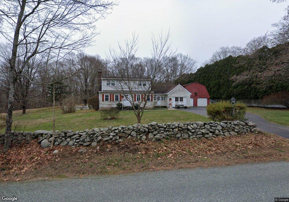
125 Niles Rd Amston, CT 06231
Estimated Value: $441,538 - $506,000
4
Beds
2
Baths
1,907
Sq Ft
$254/Sq Ft
Est. Value
About This Home
This home is located at 125 Niles Rd, Amston, CT 06231 and is currently estimated at $484,635, approximately $254 per square foot. 125 Niles Rd is a home located in Tolland County with nearby schools including Gilead Hill School, Hebron Elementary School, and RHAM Middle School.
Ownership History
Date
Name
Owned For
Owner Type
Purchase Details
Closed on
Nov 20, 2019
Sold by
Banks John H and Banks Judith A
Bought by
Banks Hugh P and Talbot Liza M
Current Estimated Value
Purchase Details
Closed on
Jun 23, 1972
Bought by
Banks John H and Banks Judith A
Create a Home Valuation Report for This Property
The Home Valuation Report is an in-depth analysis detailing your home's value as well as a comparison with similar homes in the area
Home Values in the Area
Average Home Value in this Area
Purchase History
| Date | Buyer | Sale Price | Title Company |
|---|---|---|---|
| Banks Hugh P | -- | -- | |
| Banks John H | $32,000 | -- |
Source: Public Records
Mortgage History
| Date | Status | Borrower | Loan Amount |
|---|---|---|---|
| Previous Owner | Banks John H | $100,000 | |
| Previous Owner | Banks John H | $100,000 |
Source: Public Records
Tax History Compared to Growth
Tax History
| Year | Tax Paid | Tax Assessment Tax Assessment Total Assessment is a certain percentage of the fair market value that is determined by local assessors to be the total taxable value of land and additions on the property. | Land | Improvement |
|---|---|---|---|---|
| 2025 | $7,230 | $196,210 | $52,570 | $143,640 |
| 2024 | $6,769 | $196,210 | $52,570 | $143,640 |
| 2023 | $6,512 | $196,210 | $52,570 | $143,640 |
| 2022 | $6,220 | $196,210 | $52,570 | $143,640 |
| 2021 | $6,106 | $168,080 | $52,570 | $115,510 |
| 2020 | $6,106 | $168,080 | $52,570 | $115,510 |
| 2019 | $6,227 | $168,080 | $52,570 | $115,510 |
| 2018 | $6,293 | $168,080 | $52,570 | $115,510 |
| 2017 | $6,219 | $168,080 | $52,570 | $115,510 |
| 2016 | $6,344 | $178,010 | $85,680 | $92,330 |
| 2015 | $6,408 | $178,010 | $85,680 | $92,330 |
| 2014 | $6,364 | $178,010 | $85,680 | $92,330 |
Source: Public Records
Map
Nearby Homes
- 20 Mohegan Ln
- 18 Spring Hill Rd
- 14 Woodside Rd
- 2 Lots on Deepwood Dr
- 0 Deepwood Dr
- 185 Deepwood Dr
- 24 Wood Acres Rd
- 282 Deepwood Dr
- 40 Cannon Dr
- 236 Stollman Rd
- 0 Park Rd Unit 24130670
- 30 Island Beach Rd
- 285 Deepwood Dr
- 76 Park Rd
- 25 Woodland Dr
- 37 Andrews St
- 0 Wildwood Dr
- 34 Spafford Dr
- 6 Deepwood Dr
- 218 Hope Valley Rd
- 119 Niles Rd
- 113 Niles Rd
- 7 Wellington Way
- 132 Niles Rd
- 107 Niles Rd
- 421 Old Colchester Rd
- 8 Wellington Way
- 21 Wellington Way
- 98 Niles Rd
- 438 Old Colchester Rd
- 413 Old Colchester Rd
- 87 Niles Rd
- 16 Wellington Way
- 8 Judd Brook Ln
- 92 Niles Rd
- 407 Old Colchester Rd
- 35 Wellington Way
- 410 Old Colchester Rd
- 14 Judd Brook Ln
- 88 Niles Rd