125 Ocean Ave Unit Salters Pt. South Dartmouth, MA 02748
Cow Yard/Nonquitt NeighborhoodEstimated Value: $2,225,000 - $2,385,493
3
Beds
2
Baths
1,379
Sq Ft
$1,660/Sq Ft
Est. Value
About This Home
This home is located at 125 Ocean Ave Unit Salters Pt., South Dartmouth, MA 02748 and is currently estimated at $2,288,873, approximately $1,659 per square foot. 125 Ocean Ave Unit Salters Pt. is a home located in Bristol County with nearby schools including Dartmouth High School.
Ownership History
Date
Name
Owned For
Owner Type
Purchase Details
Closed on
May 11, 2022
Sold by
Fehsenfeld David T and Fehsenfeld Katherine H
Bought by
Heath Mary L
Current Estimated Value
Purchase Details
Closed on
Nov 29, 2005
Sold by
Cynthia F Parsons Rt and Parsons
Bought by
Fehsenfeld Chapin A and Fehsenfeld David T
Create a Home Valuation Report for This Property
The Home Valuation Report is an in-depth analysis detailing your home's value as well as a comparison with similar homes in the area
Home Values in the Area
Average Home Value in this Area
Purchase History
| Date | Buyer | Sale Price | Title Company |
|---|---|---|---|
| Heath Mary L | $1,100,000 | None Available | |
| Fehsenfeld Chapin A | -- | -- | |
| Fehsenfeld Chapin A | -- | -- |
Source: Public Records
Tax History Compared to Growth
Tax History
| Year | Tax Paid | Tax Assessment Tax Assessment Total Assessment is a certain percentage of the fair market value that is determined by local assessors to be the total taxable value of land and additions on the property. | Land | Improvement |
|---|---|---|---|---|
| 2025 | $12,207 | $1,417,800 | $843,400 | $574,400 |
| 2024 | $9,198 | $1,058,500 | $813,000 | $245,500 |
| 2023 | $8,089 | $882,100 | $721,900 | $160,200 |
| 2022 | $8,456 | $854,100 | $721,900 | $132,200 |
| 2021 | $8,817 | $851,100 | $714,800 | $136,300 |
| 2020 | $8,131 | $783,300 | $653,100 | $130,200 |
| 2019 | $8,272 | $795,400 | $672,800 | $122,600 |
| 2018 | $9,043 | $886,900 | $770,900 | $116,000 |
| 2017 | $8,470 | $845,300 | $727,700 | $117,600 |
| 2016 | $8,321 | $819,000 | $714,400 | $104,600 |
| 2015 | $8,661 | $854,100 | $748,100 | $106,000 |
| 2014 | $7,359 | $720,800 | $617,200 | $103,600 |
Source: Public Records
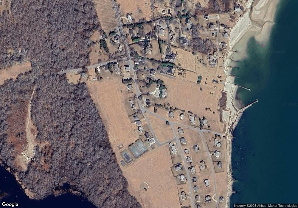
Map
Nearby Homes
- 12 Meadow Shores Rd
- 158 Little River Rd
- 24 Eagle Dr
- 48 N Shore Dr Unit 3&7
- 48 N Shore Dr Unit 8
- 62 Hetty Green St Unit 62
- 482 Smith Neck Rd
- 24 White Alder Way
- Lot 1 Rafael Rd
- 105 Rock Odundee Rd
- 738 Smith Neck Rd
- 61 Pardon Hill Rd
- Lot 2E Horseneck Rd
- 248 Bakerville Rd
- Lot 2 Horseneck Rd
- 23 High St
- 40 School St
- 1150 Russells Mills Rd
- 0 Stoneledge Rd
- 76 Shipyard Ln
- 125 Ocean Ave
- 125 Ocean Ave Unit (WEEKLY)
- 124 Ocean Ave
- 116 Ocean Ave
- 135 Ocean Ave
- 112 Ocean Ave
- 128 Ocean Ave
- 37 Buzzards Bay Ave
- 108 Ocean Ave
- 139 Ocean Ave
- 104 Ocean Ave
- 33 Buzzards Bay Ave
- 131 Ocean Ave
- 97 Naushon Ave
- 7 Mishaum Point Rd
- 29 Buzzards Bay Ave
- 0 Mishaum Point Rd Unit 70804940
- 15 Meadows Shore Rd
- 15 Meadow Shores Rd
- 93 Naushon Ave