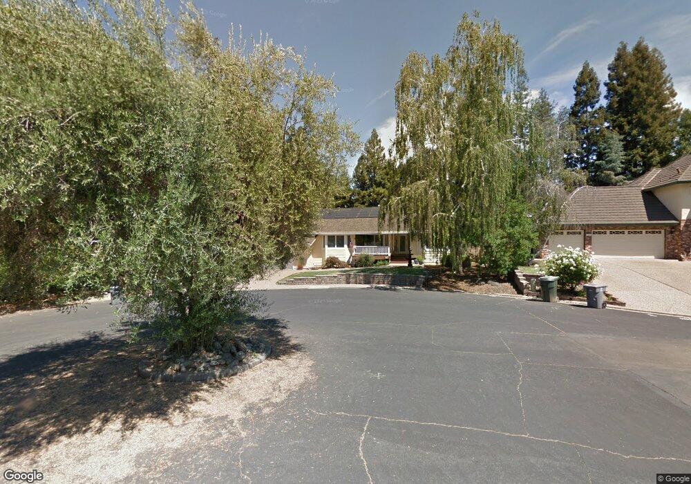
125 Patton Ct Folsom, CA 95630
American River Canyon NeighborhoodEstimated Value: $814,335 - $866,000
4
Beds
2
Baths
2,376
Sq Ft
$353/Sq Ft
Est. Value
About This Home
This home is located at 125 Patton Ct, Folsom, CA 95630 and is currently estimated at $837,834, approximately $352 per square foot. 125 Patton Ct is a home located in Sacramento County with nearby schools including Carl H. Sundahl Elementary School, Sutter Middle School, and Folsom High School.
Ownership History
Date
Name
Owned For
Owner Type
Purchase Details
Closed on
Apr 5, 2023
Sold by
Zezoff Robert G and Zezoff Karen K
Bought by
Zezoff Family Trust
Current Estimated Value
Purchase Details
Closed on
Mar 2, 2012
Sold by
Zezoff Robert G
Bought by
Zezoff Robert G and Zezoff Karen K
Home Financials for this Owner
Home Financials are based on the most recent Mortgage that was taken out on this home.
Original Mortgage
$65,000
Interest Rate
3.92%
Mortgage Type
New Conventional
Create a Home Valuation Report for This Property
The Home Valuation Report is an in-depth analysis detailing your home's value as well as a comparison with similar homes in the area
Home Values in the Area
Average Home Value in this Area
Purchase History
| Date | Buyer | Sale Price | Title Company |
|---|---|---|---|
| Zezoff Family Trust | -- | None Listed On Document | |
| Zezoff Robert G | -- | Chicago Title Company | |
| Zezoff Robert G | -- | Chicago Title Company |
Source: Public Records
Mortgage History
| Date | Status | Borrower | Loan Amount |
|---|---|---|---|
| Previous Owner | Zezoff Robert G | $65,000 |
Source: Public Records
Tax History
| Year | Tax Paid | Tax Assessment Tax Assessment Total Assessment is a certain percentage of the fair market value that is determined by local assessors to be the total taxable value of land and additions on the property. | Land | Improvement |
|---|---|---|---|---|
| 2025 | $4,498 | $428,250 | $137,965 | $290,285 |
| 2024 | $4,498 | $419,854 | $135,260 | $284,594 |
| 2023 | $4,417 | $411,622 | $132,608 | $279,014 |
| 2022 | $4,351 | $403,552 | $130,008 | $273,544 |
| 2021 | $4,292 | $395,640 | $127,459 | $268,181 |
| 2020 | $4,238 | $391,585 | $126,153 | $265,432 |
| 2019 | $4,166 | $383,908 | $123,680 | $260,228 |
| 2018 | $4,061 | $376,381 | $121,255 | $255,126 |
| 2017 | $3,786 | $369,002 | $118,878 | $250,124 |
| 2016 | $3,955 | $361,768 | $116,548 | $245,220 |
| 2015 | $3,821 | $356,335 | $114,798 | $241,537 |
| 2014 | $3,625 | $349,356 | $112,550 | $236,806 |
Source: Public Records
Map
Nearby Homes
- 224 Oak Canyon Way
- 120 Puffer Way
- 621 Landrise Ct
- 7314 Santa Juanita Ave
- 118 S Fork Way
- 600 Landrise Ct
- 284 Marsalla Dr
- 279 Marsalla Dr
- 144 Gold Creek Cir
- 117 Oak Rock Cir
- 111 Cool Springs Ct
- 9842 Valley Pines Dr
- 0 Vance Ln Unit 226034233
- 7545 Cardwell Ave
- 7400 Mountain Ave
- 140 Marble Canyon Dr
- 318 Canyon Falls Dr
- 104 Winding Canyon Ln
- 6715 Main Ave
- 100 Englehart Dr
Your Personal Tour Guide
Ask me questions while you tour the home.