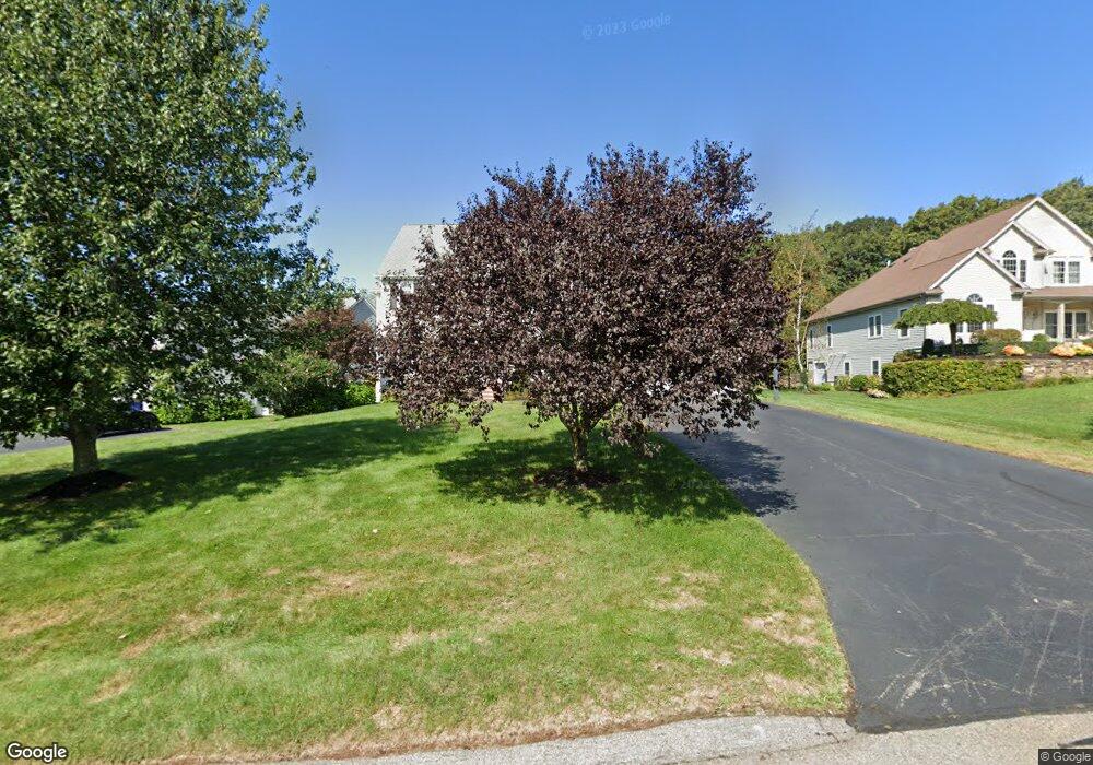
125 Pokanoket Path Wrentham, MA 02093
Estimated Value: $1,136,315 - $1,181,000
4
Beds
3
Baths
3,914
Sq Ft
$294/Sq Ft
Est. Value
About This Home
This home is located at 125 Pokanoket Path, Wrentham, MA 02093 and is currently estimated at $1,149,079, approximately $293 per square foot. 125 Pokanoket Path is a home located in Norfolk County with nearby schools including Delaney Elementary School and Charles E Roderick.
Ownership History
Date
Name
Owned For
Owner Type
Purchase Details
Closed on
Sep 12, 2003
Sold by
Diplacido Dev Corp
Bought by
Molinario David and Molinario Deanna M
Current Estimated Value
Create a Home Valuation Report for This Property
The Home Valuation Report is an in-depth analysis detailing your home's value as well as a comparison with similar homes in the area
Purchase History
| Date | Buyer | Sale Price | Title Company |
|---|---|---|---|
| Molinario David | $536,528 | -- |
Source: Public Records
Mortgage History
| Date | Status | Borrower | Loan Amount |
|---|---|---|---|
| Open | Molinario David | $350,000 | |
| Closed | Molinario David | $128,100 | |
| Closed | Molinario David | $148,800 |
Source: Public Records
Tax History
| Year | Tax Paid | Tax Assessment Tax Assessment Total Assessment is a certain percentage of the fair market value that is determined by local assessors to be the total taxable value of land and additions on the property. | Land | Improvement |
|---|---|---|---|---|
| 2025 | $11,012 | $950,100 | $302,900 | $647,200 |
| 2024 | $10,483 | $873,600 | $302,900 | $570,700 |
| 2023 | $10,649 | $843,800 | $275,300 | $568,500 |
| 2022 | $9,491 | $694,300 | $211,900 | $482,400 |
| 2021 | $9,392 | $667,500 | $222,000 | $445,500 |
| 2020 | $10,006 | $702,200 | $200,300 | $501,900 |
| 2019 | $9,825 | $695,800 | $215,700 | $480,100 |
| 2018 | $8,975 | $630,300 | $216,000 | $414,300 |
| 2017 | $8,764 | $615,000 | $211,800 | $403,200 |
| 2016 | $8,582 | $601,000 | $205,700 | $395,300 |
| 2015 | $8,402 | $560,900 | $197,700 | $363,200 |
| 2014 | $8,324 | $543,700 | $190,200 | $353,500 |
Source: Public Records
Map
Nearby Homes
- 12 Earle Stewart Ln
- 2 Earle Stewart Ln
- 10 Earle Stewart Ln Unit Lot 5
- 3 Earle Stewart Ln
- 135 Creek St Unit 2
- 500 Franklin St
- 10 Nature View Dr
- 15 Nature View Dr
- 440 Chestnut St
- 613 West St
- 50 Reed Fulton Ave Unit Lot 61
- 1222 South St
- 955 Summer St
- 45 Joshua Rd
- 75 Jordan Rd
- 0 Fall Ln
- 246 Forest Grove Ave
- 3 Oak View Terrace Unit 3
- 0 Berry St
- 18 Huntington Ave
- 115 Pokanoket Path
- 135 Pokanoket Path
- 145 Pokanoket Path
- 105 Pokanoket Path
- 95 Pokanoket Path
- 120 Pokanoket Path
- 155 Pokanoket Path
- 110 Pokanoket Path
- 130 Pokanoket Path
- 90 Pokanoket Path
- 165 Pokanoket Path
- 140 Pokanoket Path
- 100 Annawon Ave
- 610 Eastside Rd
- 150 Pokanoket Path
- 735 Eastside Rd
- 600 Eastside Rd
- 25 Annawon Ave
- 590 Eastside Rd
- 175 Pokanoket Path
Your Personal Tour Guide
Ask me questions while you tour the home.