Estimated Value: $138,000 - $177,000
2
Beds
1
Bath
888
Sq Ft
$176/Sq Ft
Est. Value
About This Home
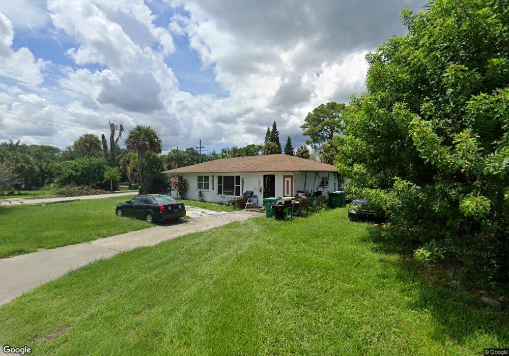
This home is located at 125 Polaris St, Cocoa, FL 32922 and is currently estimated at $156,494, approximately $176 per square foot. 125 Polaris St is a home located in Brevard County with nearby schools including Endeavour Elementary Magnet, Ronald McNair Magnet Middle School, and Rockledge Senior High School.
Ownership History
Date
Name
Owned For
Owner Type
Purchase Details
Closed on
Jun 4, 2020
Sold by
Sampson Willie J and Sampson Sandra L
Bought by
Sampson Willie J and Sampson Sandra L
Current Estimated Value
Purchase Details
Closed on
Dec 23, 1995
Sold by
Allen June and Mcquaige Diane
Bought by
Sampson Willie J
Home Financials for this Owner
Home Financials are based on the most recent Mortgage that was taken out on this home.
Original Mortgage
$34,200
Outstanding Balance
$694
Interest Rate
7.29%
Estimated Equity
$155,800
Create a Home Valuation Report for This Property
The Home Valuation Report is an in-depth analysis detailing your home's value as well as a comparison with similar homes in the area
Home Values in the Area
Average Home Value in this Area
Purchase History
| Date | Buyer | Sale Price | Title Company |
|---|---|---|---|
| Sampson Willie J | -- | None Available | |
| Sampson Willie J | $36,000 | -- |
Source: Public Records
Mortgage History
| Date | Status | Borrower | Loan Amount |
|---|---|---|---|
| Open | Sampson Willie J | $34,200 |
Source: Public Records
Tax History Compared to Growth
Tax History
| Year | Tax Paid | Tax Assessment Tax Assessment Total Assessment is a certain percentage of the fair market value that is determined by local assessors to be the total taxable value of land and additions on the property. | Land | Improvement |
|---|---|---|---|---|
| 2025 | $1,084 | $96,920 | -- | -- |
| 2024 | $1,038 | $94,190 | -- | -- |
| 2023 | $1,038 | $91,450 | $0 | $0 |
| 2022 | $925 | $88,790 | $0 | $0 |
| 2021 | $1,308 | $51,440 | $12,000 | $39,440 |
| 2020 | $634 | $38,630 | $0 | $0 |
| 2019 | $608 | $37,770 | $0 | $0 |
| 2018 | $484 | $37,070 | $0 | $0 |
| 2017 | $470 | $36,310 | $0 | $0 |
| 2016 | $453 | $35,570 | $12,000 | $23,570 |
| 2015 | $449 | $35,330 | $12,000 | $23,330 |
| 2014 | $396 | $35,050 | $12,000 | $23,050 |
Source: Public Records
Map
Nearby Homes
- 128 Aurora St
- 1237 Holmes St
- 535 S Kentucky Ave
- 145 Ruth Ave
- Xxxx S Fiske Blvd
- 824 Temple St
- 465 Sorrento Dr
- 220 Sorrento Dr
- 735 Sorrento Dr
- 919 Fern Ave
- 826 Ferndale Ave
- Xxxx Fiske
- 1515 Peachtree St Unit 18
- 935 S Varr Ave
- 1009 S Fiske Blvd
- 1103 Bellefonte Ave
- 535 Bernard St
- 506 Stone St
- 305 Prospect Ave
- 1044 Pompano Dr
- 1230 Jackson St
- 123 Explorer St
- 121 Explorer St
- 124 Polaris St
- 122 Polaris St
- 1232 Jackson St
- 119 Explorer St
- 1231 Jackson St
- 120 Polaris St
- 1233 Jackson St
- 1227 Jackson St
- 124 Explorer St
- 118 Explorer St
- 118 Polaris St
- 1235 Jackson St
- 115 Polaris St
- 117 Explorer St
- 116 Explorer St
- 132 Aurora St
- 1234 Holmes St