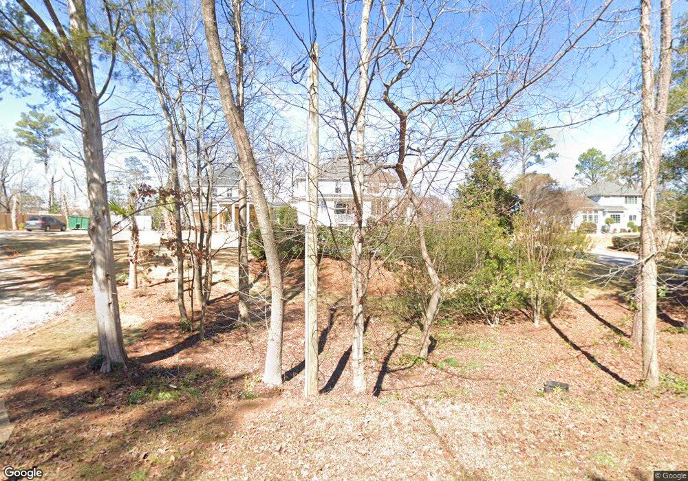
125 Power Point Ln Lexington, SC 29072
Estimated Value: $138,000 - $1,007,132
5
Beds
4
Baths
3,846
Sq Ft
$140/Sq Ft
Est. Value
About This Home
This home is located at 125 Power Point Ln, Lexington, SC 29072 and is currently estimated at $538,783, approximately $140 per square foot. 125 Power Point Ln is a home located in Lexington County with nearby schools including New Providence Elementary School, River Bluff High School, and Lake Murray Montessori School.
Ownership History
Date
Name
Owned For
Owner Type
Purchase Details
Closed on
Jan 4, 2021
Sold by
Shields Joseph F and Shields Stephanie L
Bought by
Shields Stephanie L and Shields Joseph F
Current Estimated Value
Purchase Details
Closed on
Oct 4, 2019
Sold by
Shields Joseph and Shields Stephanie
Bought by
Shields Joseph F and Shields Stephanie L
Purchase Details
Closed on
Jan 15, 2015
Sold by
Osburn Paul David and Osburn Sharon L
Bought by
Shields Joseph and Shields Stephanie
Purchase Details
Closed on
Dec 3, 2014
Sold by
Osburn Paul David and Osburn Sharon L
Bought by
Shields Joseph and Shields Stephanie
Purchase Details
Closed on
Feb 9, 2010
Sold by
Dodge N P and National Equity Inc
Bought by
Osburn Paul David and Osburn Sharon L
Home Financials for this Owner
Home Financials are based on the most recent Mortgage that was taken out on this home.
Original Mortgage
$405,000
Interest Rate
4.97%
Mortgage Type
Future Advance Clause Open End Mortgage
Purchase Details
Closed on
Aug 9, 2009
Sold by
Studdard Michael L and Studdard Denise S
Bought by
Dodge N P and National Equity Inc
Home Financials for this Owner
Home Financials are based on the most recent Mortgage that was taken out on this home.
Original Mortgage
$405,000
Interest Rate
4.97%
Mortgage Type
Future Advance Clause Open End Mortgage
Purchase Details
Closed on
Aug 28, 2008
Sold by
Pitts Brothers Development Llc
Bought by
Studdard Michael L and Studdard Denise S
Home Financials for this Owner
Home Financials are based on the most recent Mortgage that was taken out on this home.
Original Mortgage
$412,000
Interest Rate
6.48%
Mortgage Type
Purchase Money Mortgage
Purchase Details
Closed on
Mar 28, 2005
Sold by
Dailey Gregory S and Dailey Melinda H
Bought by
Pitts Brothers Development Llc
Home Financials for this Owner
Home Financials are based on the most recent Mortgage that was taken out on this home.
Original Mortgage
$121,337
Interest Rate
5.62%
Mortgage Type
Future Advance Clause Open End Mortgage
Purchase Details
Closed on
Jun 6, 2001
Sold by
Howards Inc
Bought by
Dailey George S
Create a Home Valuation Report for This Property
The Home Valuation Report is an in-depth analysis detailing your home's value as well as a comparison with similar homes in the area
Home Values in the Area
Average Home Value in this Area
Purchase History
| Date | Buyer | Sale Price | Title Company |
|---|---|---|---|
| Shields Stephanie L | -- | Meymax Title | |
| Shields Stephanie L | -- | None Listed On Document | |
| Shields Joseph F | -- | None Available | |
| Shields Joseph | $70,000 | -- | |
| Shields Joseph | $500,000 | -- | |
| Osburn Paul David | $506,250 | -- | |
| Dodge N P | $556,500 | -- | |
| Studdard Michael L | $515,000 | -- | |
| Pitts Brothers Development Llc | $73,500 | -- | |
| Dailey George S | $51,500 | -- |
Source: Public Records
Mortgage History
| Date | Status | Borrower | Loan Amount |
|---|---|---|---|
| Previous Owner | Osburn Paul David | $405,000 | |
| Previous Owner | Dodge N P | $405,000 | |
| Previous Owner | Studdard Michael L | $412,000 | |
| Previous Owner | Pitts Brothers Development Llc | $121,337 |
Source: Public Records
Tax History Compared to Growth
Tax History
| Year | Tax Paid | Tax Assessment Tax Assessment Total Assessment is a certain percentage of the fair market value that is determined by local assessors to be the total taxable value of land and additions on the property. | Land | Improvement |
|---|---|---|---|---|
| 2024 | $457 | $2,800 | $2,800 | $0 |
| 2023 | $418 | $4,200 | $4,200 | $0 |
| 2022 | $2,003 | $4,200 | $4,200 | $0 |
| 2020 | $3,489 | $22,850 | $5,600 | $17,250 |
| 2019 | $3,544 | $22,800 | $5,200 | $17,600 |
| 2018 | $3,479 | $22,800 | $5,200 | $17,600 |
| 2017 | $2,960 | $20,000 | $2,400 | $17,600 |
| 2016 | $2,933 | $19,999 | $2,400 | $17,599 |
| 2014 | $2,559 | $18,236 | $3,200 | $15,036 |
| 2013 | -- | $18,240 | $3,200 | $15,040 |
Source: Public Records
Map
Nearby Homes
- 102 Longford Ct
- 206 Portsmouth Dr
- 704 Old Cherokee Rd
- 420 Plymouth Pass Dr
- 221 Yachting Rd
- 2225 Old Cherokee Rd Unit LOT 3
- 2235 Old Cherokee Rd Unit LOT 5
- 2229 Old Cherokee Rd Unit LOT 4
- 2247 Old Cherokee Rd Unit LOT 6
- 2221 Old Cherokee Rd Unit LOT 2
- 101 York Commons
- 561 Plymouth Pass Dr
- 117 York Commons
- 246 Cobbleview Dr
- 312 Settlers Trail
- 227 State Road S-32-145 Unit LOT 2
- 227 State Road S-32-145 Unit LOT 1
- 227 State Road S-32-145 Unit LOT 3
- 110 Hyler Dr
- 159 Maritime Trail
- 121 Power Point Ln
- 100 White Caps Way
- 117 Power Point Ln
- 301 Lanham Spring Way
- 133 Power Point Ln
- 200 Lanham Spring Dr
- 305 Lanham Spring Way
- 113 Power Point Ln
- 204 Lanham Spring Dr
- 316 Lanham Spring Way
- 309 Lanham Spring Way
- 300 Lanham Spring Way
- 107 Power Point Ln
- 313 Lanham Spring Way
- 208 Lanham Spring Dr
- 149 Power Point Ln
- 124 Power Point Ln
- 134 Power Point Ln
- 124 State Road S-956
- 124 Palmetto Cove Ln