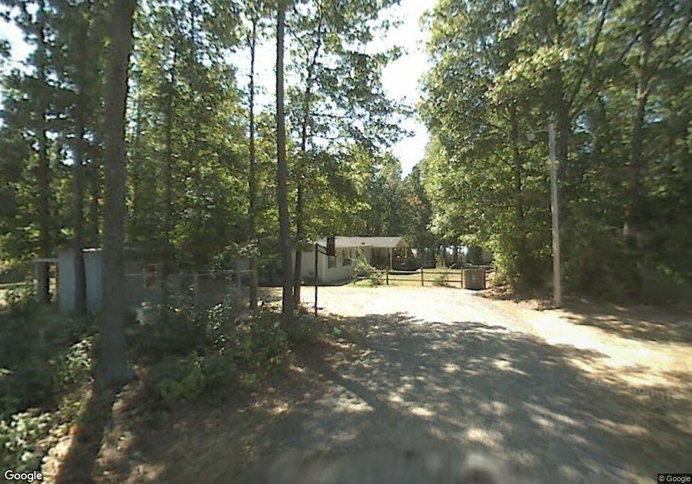
125 Randall Way Mocksville, NC 27028
Estimated Value: $204,000 - $216,000
3
Beds
2
Baths
2,052
Sq Ft
$103/Sq Ft
Est. Value
About This Home
This home is located at 125 Randall Way, Mocksville, NC 27028 and is currently estimated at $211,333, approximately $102 per square foot. 125 Randall Way is a home located in Davie County with nearby schools including William R. Davie Elementary School, North Davie Middle School, and Davie County High School.
Ownership History
Date
Name
Owned For
Owner Type
Purchase Details
Closed on
Jun 14, 2021
Sold by
Gunnoe Wendi Lee and Miller Wendi Lee
Bought by
Miller Randall Jason and Miller Jennifer Duke
Current Estimated Value
Home Financials for this Owner
Home Financials are based on the most recent Mortgage that was taken out on this home.
Original Mortgage
$65,000
Outstanding Balance
$49,352
Interest Rate
2.9%
Mortgage Type
New Conventional
Estimated Equity
$161,981
Purchase Details
Closed on
Dec 1, 2002
Create a Home Valuation Report for This Property
The Home Valuation Report is an in-depth analysis detailing your home's value as well as a comparison with similar homes in the area
Home Values in the Area
Average Home Value in this Area
Purchase History
| Date | Buyer | Sale Price | Title Company |
|---|---|---|---|
| Miller Randall Jason | -- | None Available | |
| -- | -- | -- |
Source: Public Records
Mortgage History
| Date | Status | Borrower | Loan Amount |
|---|---|---|---|
| Open | Miller Randall Jason | $65,000 |
Source: Public Records
Tax History Compared to Growth
Tax History
| Year | Tax Paid | Tax Assessment Tax Assessment Total Assessment is a certain percentage of the fair market value that is determined by local assessors to be the total taxable value of land and additions on the property. | Land | Improvement |
|---|---|---|---|---|
| 2025 | $1,185 | $172,100 | $16,740 | $155,360 |
| 2024 | $735 | $95,020 | $13,950 | $81,070 |
| 2023 | $735 | $95,020 | $13,950 | $81,070 |
| 2022 | $735 | $95,020 | $13,950 | $81,070 |
| 2021 | $735 | $95,020 | $13,950 | $81,070 |
| 2020 | $614 | $78,890 | $12,460 | $66,430 |
| 2019 | $614 | $78,890 | $12,460 | $66,430 |
| 2018 | $614 | $78,890 | $12,460 | $66,430 |
| 2017 | $606 | $78,890 | $0 | $0 |
| 2016 | $663 | $86,380 | $0 | $0 |
| 2015 | $663 | $86,380 | $0 | $0 |
| 2014 | $570 | $86,380 | $0 | $0 |
| 2013 | -- | $86,380 | $0 | $0 |
Source: Public Records
Map
Nearby Homes
- 5304 U S Highway 601 N
- 0 Ralph Ratledge Rd
- Knollwood Plan at Providence Place
- Aster Plan at Providence Place
- Ledford Plan at Providence Place
- Cotton Grove Plan at Providence Place
- Abbott Plan at Providence Place
- Southmont Plan at Providence Place
- 00 Ben Anderson Rd Unit LotWP001
- 153 Summerlyn Dr
- 108 Arrendal Ct
- 118 Arrendal Ct
- 155 Cotton Ln
- 161 Murphy Meadow Rd
- 168 Murphy Rd
- 165 Murphy Meadow Rd
- 167 Murphy Meadow Rd
- 172 Murphy Meadow Rd
- 171 Murphy Meadow Rd
- 550 Danner Rd
- 121 Randall Way
- 15 Liberty Church Rd
- 457 Liberty Church Rd
- 469 Liberty Church Rd
- 437 Liberty Church Rd
- 00 Beck Town Rd
- 462 Liberty Church Rd
- 123 Edward Beck Rd
- 476 Liberty Church Rd
- 411 Liberty Church Rd
- 161 Rocky Springs Trail
- 490 Liberty Church Rd
- 124 Edward Beck Rd
- 389 Liberty Church Rd
- 534 Liberty Church Rd
- 150 Edward Beck Rd
- 253 Rocky Springs Trail
- 363 Liberty Church Rd
- 390 Liberty Church Rd
- 366 Liberty Church Rd