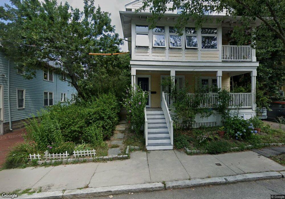
125 Raymond St Unit 127 Cambridge, MA 02140
Neighborhood Nine NeighborhoodEstimated Value: $1,491,000 - $1,668,000
4
Beds
2
Baths
2,030
Sq Ft
$764/Sq Ft
Est. Value
About This Home
This home is located at 125 Raymond St Unit 127, Cambridge, MA 02140 and is currently estimated at $1,550,418, approximately $763 per square foot. 125 Raymond St Unit 127 is a home located in Middlesex County with nearby schools including Benjamin Banneker Charter Public School, Cambridge Montessori School, and Cambridge Friends School.
Ownership History
Date
Name
Owned For
Owner Type
Purchase Details
Closed on
Aug 13, 1997
Sold by
Wurcer Scott A and Kleiner Madeline A
Bought by
Bliss Malcolm D and Bliss Leslie A
Current Estimated Value
Create a Home Valuation Report for This Property
The Home Valuation Report is an in-depth analysis detailing your home's value as well as a comparison with similar homes in the area
Home Values in the Area
Average Home Value in this Area
Purchase History
| Date | Buyer | Sale Price | Title Company |
|---|---|---|---|
| Bliss Malcolm D | $425,000 | -- |
Source: Public Records
Mortgage History
| Date | Status | Borrower | Loan Amount |
|---|---|---|---|
| Open | Bliss Malcolm D | $417,000 | |
| Closed | Bliss Malcolm D | $53,500 |
Source: Public Records
Tax History Compared to Growth
Tax History
| Year | Tax Paid | Tax Assessment Tax Assessment Total Assessment is a certain percentage of the fair market value that is determined by local assessors to be the total taxable value of land and additions on the property. | Land | Improvement |
|---|---|---|---|---|
| 2025 | $8,474 | $1,334,500 | $0 | $1,334,500 |
| 2024 | $8,067 | $1,362,600 | $0 | $1,362,600 |
| 2023 | $7,322 | $1,249,500 | $0 | $1,249,500 |
| 2022 | $7,296 | $1,232,500 | $0 | $1,232,500 |
| 2021 | $7,085 | $1,211,100 | $0 | $1,211,100 |
| 2020 | $6,658 | $1,157,900 | $0 | $1,157,900 |
| 2019 | $6,392 | $1,076,100 | $0 | $1,076,100 |
| 2018 | $4,198 | $989,800 | $0 | $989,800 |
| 2017 | $6,204 | $955,900 | $0 | $955,900 |
| 2016 | $6,233 | $891,700 | $0 | $891,700 |
| 2015 | $6,170 | $789,000 | $0 | $789,000 |
| 2014 | $6,093 | $727,100 | $0 | $727,100 |
Source: Public Records
Map
Nearby Homes
- 86 Avon Hill St
- 70 Walden St Unit 1
- 70 Walden St Unit 7
- 70 Walden St Unit 11
- 24 Cambridge Terrace Unit 2
- 43 Linnaean St Unit 42
- 273 Walden St Unit 2
- 84 Garden St
- 22 Agassiz St
- 12-14 Gray Gardens W
- 1 Richdale Ave Unit 2
- 18 Donnell St
- 8 Cogswell Ave
- 148 Huron Ave
- 3 Arlington St Unit 52
- 202 Garden St
- 61 Bolton St Unit 304
- 12 Rindge Ave Unit 1
- 7 Beech St Unit 319
- 7 Beech St Unit 211
- 125 Raymond St Unit 127
- 125 Raymond St Unit 125
- 127 Raymond St Unit 2
- 125-127 Raymond St Unit 1
- 123 Raymond St Unit WEST
- 129 Raymond St
- 129 Raymond St Unit 129
- 129 Raymond St Unit 1
- 121 Raymond St Unit W
- 121 Raymond St Unit E
- 121 Raymond St Unit EAST
- 16 Whittier St
- 18 Whittier St Unit 3
- 20 Whittier St Unit 1
- 20 Whittier St Unit 20
- 18 Whittier St Unit 2
- 18 Whittier St
- 12 Whittier St
- 137 Raymond St
- 135 Raymond St