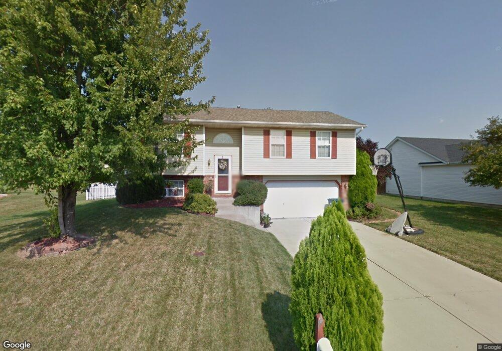
125 Ridge Dr Maryville, IL 62062
Estimated Value: $248,000 - $270,000
3
Beds
3
Baths
1,050
Sq Ft
$251/Sq Ft
Est. Value
About This Home
This home is located at 125 Ridge Dr, Maryville, IL 62062 and is currently estimated at $263,655, approximately $251 per square foot. 125 Ridge Dr is a home located in Madison County with nearby schools including Maryville Elementary School, Dorris Intermediate School, and Collinsville Middle School.
Ownership History
Date
Name
Owned For
Owner Type
Purchase Details
Closed on
Sep 25, 2003
Sold by
Denham Travis D and Denham Karen M
Bought by
Lawrence Bradley R and Lawrence Christina P
Current Estimated Value
Home Financials for this Owner
Home Financials are based on the most recent Mortgage that was taken out on this home.
Original Mortgage
$100,000
Outstanding Balance
$47,273
Interest Rate
6.4%
Mortgage Type
Purchase Money Mortgage
Estimated Equity
$216,382
Create a Home Valuation Report for This Property
The Home Valuation Report is an in-depth analysis detailing your home's value as well as a comparison with similar homes in the area
Home Values in the Area
Average Home Value in this Area
Purchase History
| Date | Buyer | Sale Price | Title Company |
|---|---|---|---|
| Lawrence Bradley R | $132,000 | Fatic |
Source: Public Records
Mortgage History
| Date | Status | Borrower | Loan Amount |
|---|---|---|---|
| Open | Lawrence Bradley R | $100,000 |
Source: Public Records
Tax History Compared to Growth
Tax History
| Year | Tax Paid | Tax Assessment Tax Assessment Total Assessment is a certain percentage of the fair market value that is determined by local assessors to be the total taxable value of land and additions on the property. | Land | Improvement |
|---|---|---|---|---|
| 2024 | $4,491 | $73,010 | $19,510 | $53,500 |
| 2023 | $4,491 | $67,580 | $18,060 | $49,520 |
| 2022 | $4,231 | $62,490 | $16,700 | $45,790 |
| 2021 | $3,607 | $56,100 | $14,950 | $41,150 |
| 2020 | $3,464 | $53,520 | $14,260 | $39,260 |
| 2019 | $3,357 | $51,690 | $13,770 | $37,920 |
| 2018 | $3,267 | $48,960 | $13,040 | $35,920 |
| 2017 | $3,248 | $47,990 | $12,780 | $35,210 |
| 2016 | $3,289 | $46,610 | $12,780 | $33,830 |
| 2015 | $3,056 | $45,400 | $12,450 | $32,950 |
| 2014 | $3,056 | $45,400 | $12,450 | $32,950 |
| 2013 | $3,056 | $45,400 | $12,450 | $32,950 |
Source: Public Records
Map
Nearby Homes
- 1 Heather Green
- 2009 Buttonwood Ct
- 1844 Crimson Oak Dr
- 1831 Crimson Oak Dr
- 419 N Donk Ave
- 2301 Preswyck Ct
- 1830 Robin Mills Ct
- 1819 Robin Mills Ct
- 1826 Robin Mills Ct
- 201 S Lange Ave
- 1815 Robins Mill Ct
- 137 W Zupan St
- 6817 Bouse Rd
- 501 Drost St
- 10 Dunbridge Ct
- 77 Kingsley Way
- 963 Long Branch Rd
- 226 Woodridge Ct
- 1313 Jacquelyn Ct
- 24 Alta St
- 129 Ridge Dr
- 121 Ridge Dr
- 133 Ridge Dr
- 117 Ridge Dr
- 816 Woodland Dr
- 124 Briar Ridge
- 128 Briar Ridge Dr
- 2060 Decker Rd
- 113 Ridge Dr
- 2054 Decker Rd
- 812 Woodland Dr
- 137 Ridge Dr
- 817 Woodland Dr
- 109 Ridge Dr
- 725 Copper Line Rd
- 729 Copper Line Rd
- 136 Ridge Dr
- 140 Ridge Dr
- 721 Copper Line Rd
- 733 Copper Line Rd