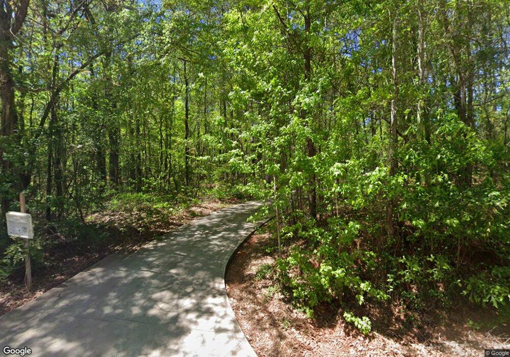
125 Rocky Branch Rd Barnesville, GA 30204
Estimated Value: $356,000 - $604,000
4
Beds
3
Baths
2,703
Sq Ft
$165/Sq Ft
Est. Value
About This Home
This home is located at 125 Rocky Branch Rd, Barnesville, GA 30204 and is currently estimated at $446,919, approximately $165 per square foot. 125 Rocky Branch Rd is a home located in Upson County with nearby schools including Upson-Lee South Elementary School, Upson-Lee North Elementary School, and Upson-Lee Middle School.
Ownership History
Date
Name
Owned For
Owner Type
Purchase Details
Closed on
Apr 27, 2012
Sold by
King William Leslie
Bought by
Scioto Properties Sp 15 Llc
Current Estimated Value
Purchase Details
Closed on
Jan 26, 2007
Sold by
Not Provided
Bought by
King William Leslie and King Rebecca Raines
Home Financials for this Owner
Home Financials are based on the most recent Mortgage that was taken out on this home.
Original Mortgage
$140,000
Interest Rate
6.14%
Mortgage Type
New Conventional
Purchase Details
Closed on
Feb 24, 2006
Sold by
Federal National Mortgage Association
Bought by
Mtg Guaranty Insurance Corp
Create a Home Valuation Report for This Property
The Home Valuation Report is an in-depth analysis detailing your home's value as well as a comparison with similar homes in the area
Home Values in the Area
Average Home Value in this Area
Purchase History
| Date | Buyer | Sale Price | Title Company |
|---|---|---|---|
| Scioto Properties Sp 15 Llc | $169,000 | -- | |
| King William Leslie | $140,000 | -- | |
| Mtg Guaranty Insurance Corp | -- | -- | |
| Mtg Guaranty Insurance Corp | -- | -- |
Source: Public Records
Mortgage History
| Date | Status | Borrower | Loan Amount |
|---|---|---|---|
| Previous Owner | King William Leslie | $140,000 |
Source: Public Records
Tax History Compared to Growth
Tax History
| Year | Tax Paid | Tax Assessment Tax Assessment Total Assessment is a certain percentage of the fair market value that is determined by local assessors to be the total taxable value of land and additions on the property. | Land | Improvement |
|---|---|---|---|---|
| 2024 | $3,629 | $137,424 | $12,642 | $124,782 |
| 2023 | $3,609 | $132,302 | $12,642 | $119,660 |
| 2022 | $2,696 | $97,206 | $12,642 | $84,564 |
| 2021 | $2,258 | $85,705 | $12,642 | $73,063 |
| 2020 | $2,060 | $73,006 | $4,265 | $68,741 |
| 2019 | $2,037 | $66,467 | $4,265 | $62,202 |
| 2018 | $2,038 | $66,467 | $4,265 | $62,202 |
| 2017 | $1,932 | $57,474 | $4,265 | $53,209 |
| 2016 | $1,875 | $54,849 | $3,554 | $51,295 |
| 2015 | $1,875 | $54,849 | $3,554 | $51,295 |
| 2014 | $1,899 | $55,455 | $4,160 | $51,295 |
Source: Public Records
Map
Nearby Homes
- 235 Rocky Branch Rd
- 249 Ponderosa Ln
- 1505 Willis Rd
- 410 Country Kitchen Rd
- 1207 Highway 36 W
- 725 Mccollum Rd
- 1972 Rest Haven Rd
- 2222 Barnesville Hwy
- 832 Jackson Dr
- 2200 Rest Haven Rd
- 0 Rest Haven Rd Unit 10617535
- 144 Berry Rd
- 150 Berry Rd
- 146 Berry Rd
- 148 Berry Rd
- 1904 U S 341
- 818 Cannafax Rd
- 0 U S 341
- 0 Coffey Rd Unit 10571841
- 61 ACRES Barnesville Hwy
- 61 Rocky Branch Rd
- 0 Rocky Branch Rd Unit LOT 1 3239907
- 6458 Hwy 36 W
- 1325 Willis Rd
- Lot 3 Rocky Branch Rd
- 150 Rocky Branch Rd
- 145 Rocky Branch Rd
- 140 Rocky Branch Rd
- 185 Rocky Branch Rd
- 155 Rocky Branch Rd
- 205 Rocky Branch Rd
- 0 Willis Rd Unit 22628034
- 0 Willis Rd
- 195 Rocky Branch Rd
- 0 Willis Rd Unit 8051170
- 0 Willis Rd Unit 8465715
- 0 Willis Rd Unit 9059698
- 0 Willis Rd
- 2263 Willis Rd
- 215 Rocky Branch Rd
